24005 Ervin Rd Philomath, OR 97370
Estimated Value: $525,000 - $847,000
3
Beds
3
Baths
2,992
Sq Ft
$231/Sq Ft
Est. Value
About This Home
This home is located at 24005 Ervin Rd, Philomath, OR 97370 and is currently estimated at $690,088, approximately $230 per square foot. 24005 Ervin Rd is a home located in Benton County with nearby schools including Philomath Elementary School, Clemens Primary School, and Philomath Middle School.
Ownership History
Date
Name
Owned For
Owner Type
Purchase Details
Closed on
Apr 4, 2000
Sold by
Pusateri Carla
Bought by
Martin Steven S and Martin Diane B
Current Estimated Value
Home Financials for this Owner
Home Financials are based on the most recent Mortgage that was taken out on this home.
Original Mortgage
$188,000
Interest Rate
8.3%
Create a Home Valuation Report for This Property
The Home Valuation Report is an in-depth analysis detailing your home's value as well as a comparison with similar homes in the area
Home Values in the Area
Average Home Value in this Area
Purchase History
| Date | Buyer | Sale Price | Title Company |
|---|---|---|---|
| Martin Steven S | $238,500 | Ticor Title Insurance Compan |
Source: Public Records
Mortgage History
| Date | Status | Borrower | Loan Amount |
|---|---|---|---|
| Previous Owner | Martin Steven S | $188,000 |
Source: Public Records
Tax History Compared to Growth
Tax History
| Year | Tax Paid | Tax Assessment Tax Assessment Total Assessment is a certain percentage of the fair market value that is determined by local assessors to be the total taxable value of land and additions on the property. | Land | Improvement |
|---|---|---|---|---|
| 2025 | $4,198 | $274,115 | -- | -- |
| 2024 | $4,198 | $266,132 | -- | -- |
| 2023 | $3,988 | $258,379 | $0 | $0 |
| 2022 | $3,874 | $250,856 | $0 | $0 |
| 2021 | $3,477 | $243,550 | $0 | $0 |
| 2020 | $3,505 | $236,457 | $0 | $0 |
| 2019 | $3,189 | $229,570 | $0 | $0 |
| 2018 | $3,286 | $222,884 | $0 | $0 |
| 2017 | $3,073 | $216,392 | $0 | $0 |
| 2016 | $2,872 | $210,089 | $0 | $0 |
| 2015 | $2,675 | $203,970 | $0 | $0 |
| 2014 | $2,708 | $201,659 | $0 | $0 |
| 2012 | -- | $192,286 | $0 | $0 |
Source: Public Records
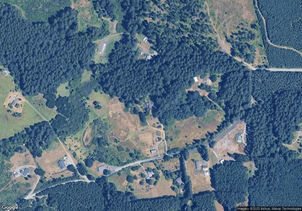
Map
Nearby Homes
- 31722 Mcloughlin Dr
- 23835 Greasy Creek Rd
- 23515 Clark Dr
- 23508 Lewis Dr
- 31636 Lewis Place
- 31970 Fern Rd
- 760 S 16th St
- 1502 Timothy St
- 803 Main St
- 24404 Highway 20
- 609 Coastal View Dr (Lan
- 23547 Woods Creek Rd
- 538 Starlight Way
- 345 N 11th (351) St
- 609 Coastal View (Land Next To) Dr
- 990 Pippa Ln
- 235 S 18th St
- 223 N 14th St
- 791 Quail Glenn Dr
- 801 Quail Glenn Dr
- 24053 Ervin Rd
- 23968 Ervin Rd
- 24105 Ervin Rd
- 23953 Ervin Rd
- 24028 Ervin Rd
- 24008 Ervin Rd
- 24060 Ervin Rd
- 24010 Ervin Rd
- 23925 Ervin Rd
- 23859 Ervin Rd
- 24032 Ervin Rd
- 24107 Ervin Rd
- 24168 Ervin Rd
- 23787 Ervin Rd
- 24243 Ervin Rd
- 23780 Ervin Rd
- 24245 Ervin Rd
- 23659 Decker Rd
- 24414 SW Airport Ave
- 24376 Ervin Rd