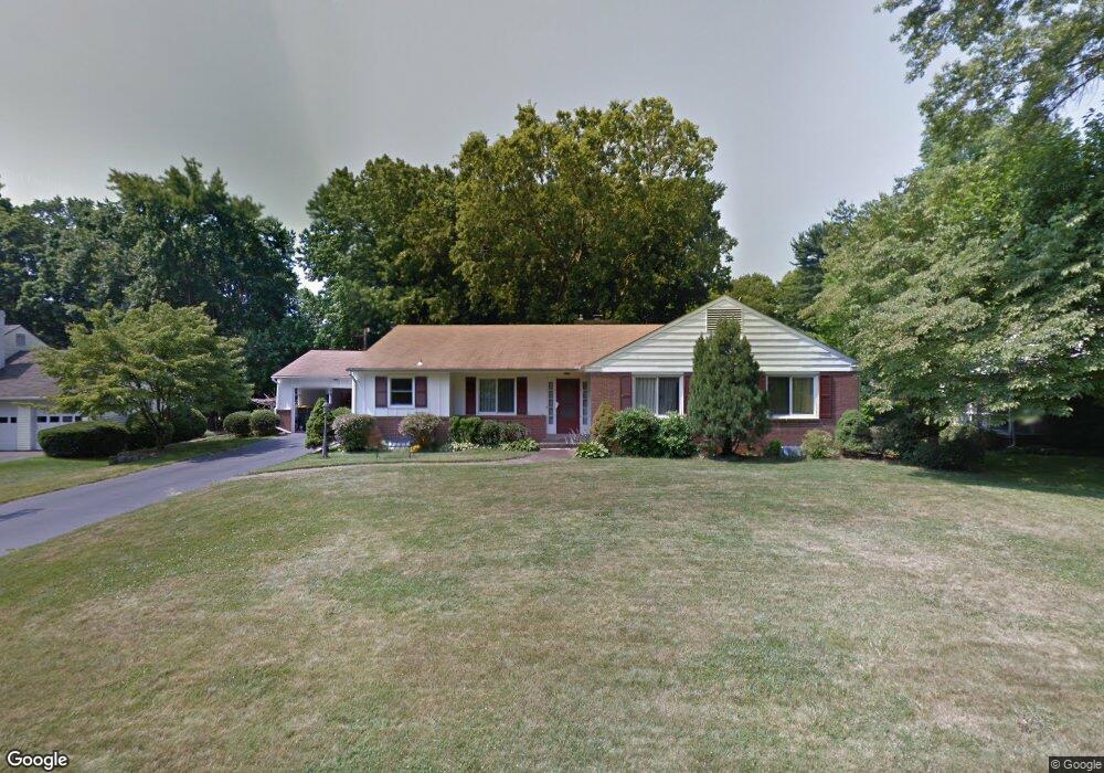
2406 Lanside Dr Wilmington, DE 19810
Estimated Value: $534,000 - $629,000
3
Beds
2
Baths
2,100
Sq Ft
$269/Sq Ft
Est. Value
About This Home
This home is located at 2406 Lanside Dr, Wilmington, DE 19810 and is currently estimated at $565,561, approximately $269 per square foot. 2406 Lanside Dr is a home located in New Castle County with nearby schools including Forwood Elementary School, Talley Middle School, and Brandywine High School.
Ownership History
Date
Name
Owned For
Owner Type
Purchase Details
Closed on
May 31, 2005
Sold by
Richard Paul H
Bought by
Qi Kai and Huang Xiaojuan
Current Estimated Value
Home Financials for this Owner
Home Financials are based on the most recent Mortgage that was taken out on this home.
Original Mortgage
$233,600
Outstanding Balance
$118,878
Interest Rate
5.37%
Mortgage Type
Fannie Mae Freddie Mac
Estimated Equity
$446,683
Create a Home Valuation Report for This Property
The Home Valuation Report is an in-depth analysis detailing your home's value as well as a comparison with similar homes in the area
Home Values in the Area
Average Home Value in this Area
Purchase History
| Date | Buyer | Sale Price | Title Company |
|---|---|---|---|
| Qi Kai | $292,000 | -- |
Source: Public Records
Mortgage History
| Date | Status | Borrower | Loan Amount |
|---|---|---|---|
| Open | Qi Kai | $233,600 |
Source: Public Records
Tax History Compared to Growth
Tax History
| Year | Tax Paid | Tax Assessment Tax Assessment Total Assessment is a certain percentage of the fair market value that is determined by local assessors to be the total taxable value of land and additions on the property. | Land | Improvement |
|---|---|---|---|---|
| 2024 | $3,562 | $93,600 | $20,800 | $72,800 |
| 2023 | $3,256 | $93,600 | $20,800 | $72,800 |
| 2022 | $3,311 | $93,600 | $20,800 | $72,800 |
| 2021 | $3,311 | $93,600 | $20,800 | $72,800 |
| 2020 | $3,312 | $93,600 | $20,800 | $72,800 |
| 2019 | $3,615 | $93,600 | $20,800 | $72,800 |
| 2018 | $3,165 | $93,600 | $20,800 | $72,800 |
| 2017 | $3,116 | $93,600 | $20,800 | $72,800 |
| 2016 | $3,114 | $93,600 | $20,800 | $72,800 |
| 2015 | $2,865 | $93,600 | $20,800 | $72,800 |
| 2014 | $2,863 | $93,600 | $20,800 | $72,800 |
Source: Public Records
Map
Nearby Homes
- 2402 Lanside Dr
- 13 Bromley Ct
- 1903 Brant Rd
- 1822 Foulk Rd
- 1902 Longcome Dr
- 1214 Graylyn Rd
- 2247 Silverside Rd
- 9 Penarth Dr
- 1250 Faun Rd
- 2319 Matwood Rd
- 2411 Larchwood Rd
- 2010 Kynwyd Rd
- 29 Marsh Woods Ln
- 2642 Longwood Dr
- 2205 Dorval Rd
- 2427 Grubb Rd
- 2429 Grubb Rd
- 2433 Grubb Rd
- 2431 Grubb Rd
- 264 Jameson Way
- 2404 Lanside Dr
- 2408 Lanside Dr
- 2403 Lanside Dr
- 2410 Lanside Dr
- 2409 Silverside Rd
- 1801 Breen Ln
- 2405 Lanside Dr
- 2407 Silverside Rd
- 2407 Lanside Dr
- 2400 Lanside Dr
- 1803 Breen Ln
- 2405 Silverside Rd
- 2409 Lanside Dr
- 1800 Breen Ln
- 2413 Silverside Rd
- 1808 Bryce Dr
- 1806 Bryce Dr
- 2401 Silverside Rd
- 1802 Breen Ln
- 1800 Bryce Dr