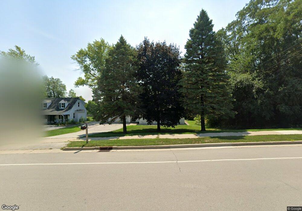
2407 Summit Ave Waukesha, WI 53188
Estimated Value: $313,000 - $353,032
2
Beds
1
Bath
1,088
Sq Ft
$305/Sq Ft
Est. Value
About This Home
This home is located at 2407 Summit Ave, Waukesha, WI 53188 and is currently estimated at $332,258, approximately $305 per square foot. 2407 Summit Ave is a home located in Waukesha County with nearby schools including Lowell Elementary School, Butler Middle School, and North High School.
Ownership History
Date
Name
Owned For
Owner Type
Purchase Details
Closed on
Jul 29, 2014
Sold by
Tarantino James A
Bought by
Sam Property Holdings Co Llc
Current Estimated Value
Purchase Details
Closed on
Jul 14, 1997
Sold by
Johnson Roger W and Tarantino James A
Bought by
Summit Woods Ltd Partnership
Purchase Details
Closed on
Jun 12, 1997
Sold by
Banks Clyde E and Banks Marion J
Bought by
Johnson Roger W and Tarantino James A
Create a Home Valuation Report for This Property
The Home Valuation Report is an in-depth analysis detailing your home's value as well as a comparison with similar homes in the area
Home Values in the Area
Average Home Value in this Area
Purchase History
| Date | Buyer | Sale Price | Title Company |
|---|---|---|---|
| Sam Property Holdings Co Llc | -- | None Available | |
| Tarantino James A | -- | None Available | |
| Summit Woods Ltd Partnership | $121,500 | -- | |
| Johnson Roger W | $120,000 | -- |
Source: Public Records
Tax History Compared to Growth
Tax History
| Year | Tax Paid | Tax Assessment Tax Assessment Total Assessment is a certain percentage of the fair market value that is determined by local assessors to be the total taxable value of land and additions on the property. | Land | Improvement |
|---|---|---|---|---|
| 2024 | $5,065 | $331,000 | $141,800 | $189,200 |
| 2023 | $4,962 | $331,000 | $141,800 | $189,200 |
| 2022 | $3,975 | $200,600 | $87,100 | $113,500 |
| 2021 | $4,092 | $200,600 | $87,100 | $113,500 |
| 2020 | $3,909 | $200,600 | $87,100 | $113,500 |
| 2019 | $3,809 | $200,600 | $87,100 | $113,500 |
| 2018 | $3,982 | $193,000 | $82,300 | $110,700 |
| 2017 | $3,682 | $193,000 | $82,300 | $110,700 |
| 2016 | $3,610 | $177,100 | $82,300 | $94,800 |
| 2015 | $3,577 | $177,100 | $82,300 | $94,800 |
| 2014 | $3,551 | $168,700 | $82,300 | $86,400 |
| 2013 | $3,551 | $168,700 | $82,300 | $86,400 |
Source: Public Records
Map
Nearby Homes
- 2300 Norwood Dr
- 2207 Norwood Dr
- 610 Glendon Way
- 704 Western Ave
- 2508 Manchester Ct
- 630 Westowne Ave
- 1954 Cascade Dr
- 331 Jasper Ln
- 608 N Grandview Blvd
- 2824 Burton Dr
- 3710 Madison St
- 3726 Madison St
- 3816 Madison St Unit Lt165
- 1917 Tree Line Ct
- 1505 Elder St
- 117 E Sutton Place Unit A
- 1516 Pleasant View Ave
- 2012 Sunkist Ave
- 1400 Summit Ave
- 1606 Pleasant View Ave
- 2401 Summit Ave
- 2404 Summit Ave
- 2309 Summit Ave
- 2400 Summit Ave
- 2500 Summit Ave
- 2453 Brentwood Dr
- 2307 Summit Ave
- 2449 Brentwood Dr
- 2301 Summit Ave
- 601 Briar Hill Dr
- 2445 Brentwood Dr
- 606 Briar Hill Dr
- 610 Briar Hill Dr
- 2442 Brentwood Dr
- 2441 Brentwood Dr
- 2309 Norwood Dr
- 2611 Summit Ave
- 614 Briar Hill Dr
- 2438 Brentwood Dr
- 2437 Brentwood Dr