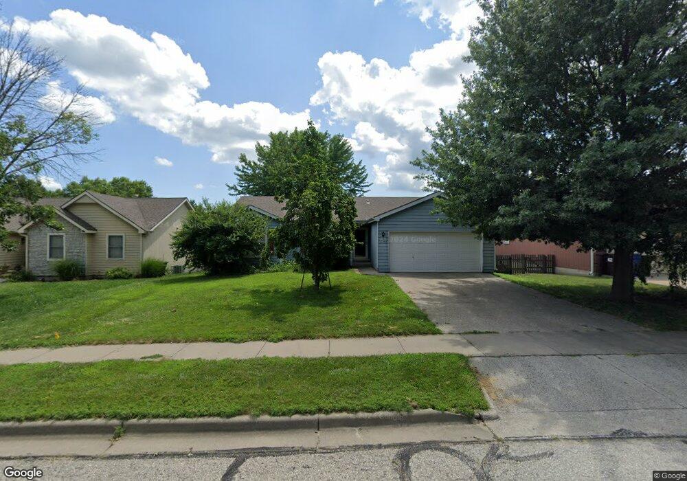
2409 Brett Dr Lawrence, KS 66049
Estimated Value: $307,000 - $328,000
3
Beds
3
Baths
2,330
Sq Ft
$136/Sq Ft
Est. Value
About This Home
This home is located at 2409 Brett Dr, Lawrence, KS 66049 and is currently estimated at $316,711, approximately $135 per square foot. 2409 Brett Dr is a home located in Douglas County with nearby schools including Deerfield Elementary School, West Middle School, and Lawrence Free State High School.
Ownership History
Date
Name
Owned For
Owner Type
Purchase Details
Closed on
Apr 16, 2013
Sold by
Hornberger Michael D and Hornberger Lesley K
Bought by
Plumlee Richard L and Plumlee Renoo
Current Estimated Value
Home Financials for this Owner
Home Financials are based on the most recent Mortgage that was taken out on this home.
Original Mortgage
$125,600
Outstanding Balance
$88,977
Interest Rate
3.55%
Mortgage Type
New Conventional
Estimated Equity
$227,734
Create a Home Valuation Report for This Property
The Home Valuation Report is an in-depth analysis detailing your home's value as well as a comparison with similar homes in the area
Home Values in the Area
Average Home Value in this Area
Purchase History
| Date | Buyer | Sale Price | Title Company |
|---|---|---|---|
| Plumlee Richard L | -- | Continental Title Company |
Source: Public Records
Mortgage History
| Date | Status | Borrower | Loan Amount |
|---|---|---|---|
| Open | Plumlee Richard L | $125,600 |
Source: Public Records
Tax History Compared to Growth
Tax History
| Year | Tax Paid | Tax Assessment Tax Assessment Total Assessment is a certain percentage of the fair market value that is determined by local assessors to be the total taxable value of land and additions on the property. | Land | Improvement |
|---|---|---|---|---|
| 2025 | $4,047 | $33,224 | $7,475 | $25,749 |
| 2024 | $4,047 | $32,890 | $7,475 | $25,415 |
| 2023 | $4,121 | $32,166 | $6,900 | $25,266 |
| 2022 | $3,772 | $29,273 | $6,900 | $22,373 |
| 2021 | $3,835 | $28,739 | $5,980 | $22,759 |
| 2020 | $3,572 | $26,922 | $5,980 | $20,942 |
| 2019 | $3,441 | $25,979 | $5,060 | $20,919 |
| 2018 | $3,344 | $25,069 | $4,600 | $20,469 |
| 2017 | $3,252 | $24,116 | $4,600 | $19,516 |
| 2016 | $3,113 | $24,116 | $3,680 | $20,436 |
| 2015 | $3,092 | $23,955 | $3,680 | $20,275 |
| 2014 | $2,944 | $23,046 | $3,680 | $19,366 |
Source: Public Records
Map
Nearby Homes
- 2412 Stowe Dr
- 2305 Brett Dr
- 209 Yorkshire Dr
- 1316 N 1750 Rd
- 1757 E 1318 Rd
- 229 Deerfield Ln
- 255 N Michigan St Unit 22
- 203 Summertree Ln
- Lot 3 Peterson Rd
- Lot 2 Peterson Rd
- 214 Lawrence Ave
- 110 Glenview Dr
- 515 McDonald Dr
- 212 N Minnesota St
- 3413 Sweetgrass Ct
- 1515 Pinewood Dr
- 709 N Michigan Cir
- Lot 5 Weatherhill Cir
- 501 River Bend Ct
- Lot 6 Weatherhill Cir