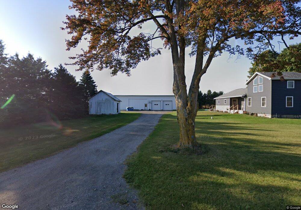
241 Adams Rd Bronson, MI 49028
Estimated Value: $204,906 - $267,000
Studio
--
Bath
1,696
Sq Ft
$140/Sq Ft
Est. Value
About This Home
This home is located at 241 Adams Rd, Bronson, MI 49028 and is currently estimated at $236,977, approximately $139 per square foot. 241 Adams Rd is a home located in Branch County with nearby schools including Anderson Elementary School, Ryan Elementary School, and Bronson Junior/Senior High School.
Ownership History
Date
Name
Owned For
Owner Type
Purchase Details
Closed on
Aug 30, 2006
Sold by
Porter Aaron C and Porter Tracy L
Bought by
Price Linda S and Price Dewey
Current Estimated Value
Home Financials for this Owner
Home Financials are based on the most recent Mortgage that was taken out on this home.
Original Mortgage
$141,300
Outstanding Balance
$85,823
Interest Rate
6.88%
Mortgage Type
New Conventional
Estimated Equity
$151,154
Create a Home Valuation Report for This Property
The Home Valuation Report is an in-depth analysis detailing your home's value as well as a comparison with similar homes in the area
Purchase History
| Date | Buyer | Sale Price | Title Company |
|---|---|---|---|
| Price Linda S | $157,000 | Metropolitan Title Company |
Source: Public Records
Mortgage History
| Date | Status | Borrower | Loan Amount |
|---|---|---|---|
| Open | Price Linda S | $141,300 |
Source: Public Records
Tax History
| Year | Tax Paid | Tax Assessment Tax Assessment Total Assessment is a certain percentage of the fair market value that is determined by local assessors to be the total taxable value of land and additions on the property. | Land | Improvement |
|---|---|---|---|---|
| 2025 | $1,770 | $88,100 | $0 | $0 |
| 2024 | $6 | $87,100 | $0 | $0 |
| 2023 | $593 | $77,500 | $0 | $0 |
| 2022 | $593 | $67,900 | $0 | $0 |
| 2020 | -- | $53,200 | $0 | $0 |
| 2019 | -- | $46,900 | $0 | $0 |
| 2018 | -- | $46,100 | $0 | $0 |
| 2017 | -- | $44,900 | $0 | $0 |
| 2016 | -- | $46,000 | $0 | $0 |
| 2015 | -- | $45,700 | $0 | $0 |
| 2014 | -- | $47,100 | $0 | $0 |
| 2013 | -- | $41,200 | $0 | $0 |
Source: Public Records
Map
Nearby Homes
- 565 Lane 101 Lake Pleasant
- 7900 N 450 W
- 7027 N N 300 W
- 0 W Copeland Rd Unit 2
- 244 Custer Dr
- 6652 N 300 W
- 4685 W Nevada Mills Rd
- 215 Prairie River Dr
- 252 Ln 650a Snow Lake
- 911 Dragon Shores Dr
- 00 W Bachelor Rd
- 0 Ln 201 Long Beach Lake
- 1275 Ln 201 Long Beach Lake
- 275 Ln 201 Long Beach Lake
- 720 Ln 800 Snow Lake
- 928 Flint Rd
- 5110 N 450 W
- 0 Ln 587 Lake James
- 60 Ln 585b Lake James
- 195 Lane 585 Lake James
- 241 W Adams Rd
- 994 Block Rd
- 197 W Adams Rd
- 197 Adams Rd
- 230 Keystone Dr
- 1029 Block Rd
- 234 Keystone Dr
- 238 Keystone Dr
- 254 Keystone Dr
- 235 Keystone Dr
- 973 Block Rd
- 231 Keystone Dr
- 256 Keystone Dr
- 233 Keystone Dr
- 239 Keystone Dr
- 241 Keystone Dr
- 243 Keystone Dr
- 245 Keystone Dr
- 260 Keystone Dr
- 260 Keystone Dr
Your Personal Tour Guide
Ask me questions while you tour the home.