Estimated Value: $377,000
5
Beds
4
Baths
780
Sq Ft
$483/Sq Ft
Est. Value
About This Home
This home is located at 241 Hawk Rd, Acton, ME 04001 and is currently estimated at $377,000, approximately $483 per square foot. 241 Hawk Rd is a home with nearby schools including Acton Elementary School.
Ownership History
Date
Name
Owned For
Owner Type
Purchase Details
Closed on
Apr 18, 2017
Sold by
Martin Marie A
Bought by
Mcgregor Stephen A and Mcgregor Linda C
Current Estimated Value
Home Financials for this Owner
Home Financials are based on the most recent Mortgage that was taken out on this home.
Original Mortgage
$70,000
Outstanding Balance
$33,835
Interest Rate
3.32%
Mortgage Type
New Conventional
Estimated Equity
$343,165
Create a Home Valuation Report for This Property
The Home Valuation Report is an in-depth analysis detailing your home's value as well as a comparison with similar homes in the area
Home Values in the Area
Average Home Value in this Area
Purchase History
| Date | Buyer | Sale Price | Title Company |
|---|---|---|---|
| Mcgregor Stephen A | -- | -- | |
| Mcgregor Stephen A | -- | -- | |
| Mcgregor Stephen A | -- | -- |
Source: Public Records
Mortgage History
| Date | Status | Borrower | Loan Amount |
|---|---|---|---|
| Open | Mcgregor Stephen A | $70,000 | |
| Closed | Mcgregor Stephen A | $70,000 |
Source: Public Records
Tax History
| Year | Tax Paid | Tax Assessment Tax Assessment Total Assessment is a certain percentage of the fair market value that is determined by local assessors to be the total taxable value of land and additions on the property. | Land | Improvement |
|---|---|---|---|---|
| 2025 | $2,062 | $285,927 | $84,576 | $201,351 |
| 2024 | $2,022 | $285,927 | $84,576 | $201,351 |
| 2023 | $1,639 | $254,134 | $84,576 | $169,558 |
| 2022 | $852 | $71,284 | $46,565 | $24,719 |
| 2021 | $852 | $71,284 | $46,565 | $24,719 |
| 2020 | $859 | $71,284 | $46,565 | $24,719 |
| 2019 | $859 | $71,284 | $46,565 | $24,719 |
| 2018 | $859 | $71,284 | $46,565 | $24,719 |
| 2017 | $848 | $71,284 | $46,565 | $24,719 |
| 2016 | $802 | $71,284 | $46,565 | $24,719 |
| 2015 | $823 | $71,284 | $46,565 | $24,719 |
| 2014 | $791 | $71,284 | $46,565 | $24,719 |
Source: Public Records
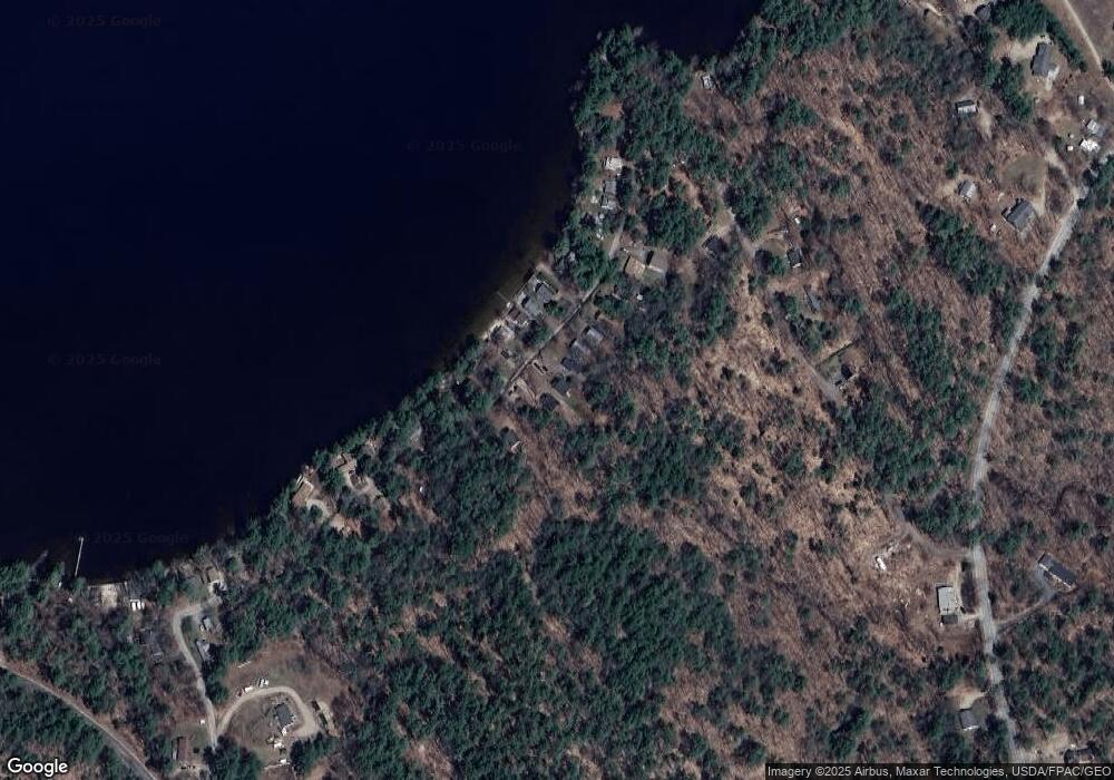
Map
Nearby Homes
- Lot 11 Ridge Way
- Lot 13 Ridge Way
- 163 Buzzell Rd
- 271 Red Gate Ln
- 422 Buzzell Rd
- 189 Hopper Rd
- 032-001 Hopper Rd
- TBD Hopper
- 224-3-1 Maine 109
- 450 Sanborn Rd
- Lot 5 St Laurent Way
- 233 Cedar Dr
- 177 Hussey Hill Rd
- 531 Abbott Rd
- 9 Hubbards Cove Rd
- 319 Asbury Ln
- 002-031-B Shapleigh Corner Rd
- 35 Highland Ave
- 55 Loop Rd
- 264 State Loop 23
Your Personal Tour Guide
Ask me questions while you tour the home.