241 Long Point Rd Unit + abutting 1-acre lo Moultonborough, NH 03254
Estimated Value: $2,960,000 - $3,301,250
6
Beds
6
Baths
4,067
Sq Ft
$772/Sq Ft
Est. Value
About This Home
This home is located at 241 Long Point Rd Unit + abutting 1-acre lo, Moultonborough, NH 03254 and is currently estimated at $3,138,813, approximately $771 per square foot. 241 Long Point Rd Unit + abutting 1-acre lo is a home located in Carroll County with nearby schools including Moultonborough Central School and Moultonborough Academy High School.
Ownership History
Date
Name
Owned For
Owner Type
Purchase Details
Closed on
Aug 29, 2025
Sold by
241 Long Point Rd Nt and Pinta
Bought by
Quesnel Lisbeth
Current Estimated Value
Create a Home Valuation Report for This Property
The Home Valuation Report is an in-depth analysis detailing your home's value as well as a comparison with similar homes in the area
Home Values in the Area
Average Home Value in this Area
Purchase History
| Date | Buyer | Sale Price | Title Company |
|---|---|---|---|
| Quesnel Lisbeth | $3,100,000 | -- | |
| Quesnel Lisbeth | $3,100,000 | -- |
Source: Public Records
Tax History Compared to Growth
Tax History
| Year | Tax Paid | Tax Assessment Tax Assessment Total Assessment is a certain percentage of the fair market value that is determined by local assessors to be the total taxable value of land and additions on the property. | Land | Improvement |
|---|---|---|---|---|
| 2024 | $14,255 | $2,523,000 | $1,728,400 | $794,600 |
| 2023 | $13,189 | $2,313,900 | $1,544,400 | $769,500 |
| 2022 | $9,810 | $2,052,200 | $1,343,500 | $708,700 |
| 2021 | $10,973 | $1,572,100 | $1,033,400 | $538,700 |
| 2020 | $1,547 | $1,438,200 | $932,500 | $505,700 |
| 2019 | $1,585 | $1,418,300 | $907,700 | $510,600 |
| 2018 | $10,830 | $1,328,400 | $778,000 | $550,400 |
| 2017 | $11,116 | $1,328,100 | $778,000 | $550,100 |
| 2016 | $11,116 | $1,271,800 | $752,100 | $519,700 |
| 2015 | $11,294 | $1,253,500 | $752,100 | $501,400 |
| 2014 | $11,223 | $1,266,700 | $752,100 | $514,600 |
| 2013 | $10,682 | $1,229,200 | $752,100 | $477,100 |
Source: Public Records
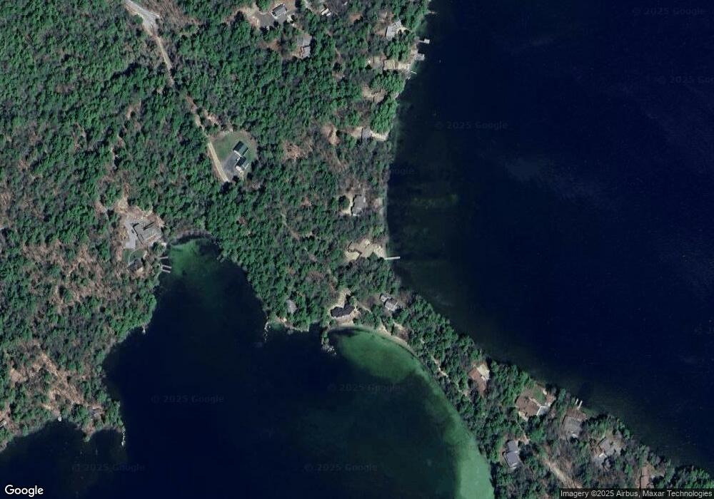
Map
Nearby Homes
- 31 Rays Way
- 5 Ferry Rd
- 16 Long Island Rd
- 29 Kona Farm Rd
- 30 Leopards Leap
- 22 Tiger Trail
- 10 Woodridge Rd
- 152 Wildwood Dr
- 167 Long Island Rd
- 00 Beede Rd
- 65 Beede Rd
- 9 Starboard Ln Unit 1
- 67 Hoyt Mill Rd
- 00 Rivers Rd
- 1 Little Beaver Island
- 47 Pot O Beans Rd
- 203 Krainewood Dr
- 21 Orton Ln
- 11 Geery Ln
- 27 First Point Rd
- 241 Long Point Rd Unit + Land
- 253 Long Point Rd
- 2 Braun Bay Rd
- 261 Long Point Rd
- 4 Braun Bay Rd
- 250 Long Point Rd
- 219 Long Point Rd
- 10 Braun Bay Rd
- 15 Braun Bay Rd
- 269 Long Point Rd
- 12 Braun Bay Rd
- 20 Braun Bay Rd
- 281 Long Point Rd
- 14 Hamelin Dr
- 26 Braun Bay Rd
- 285 Long Point Rd
- 258 Long Point Rd
- 288 Long Point Rd
- Lot 35 Braun Bay Rd
- 27 Norway Point Rd