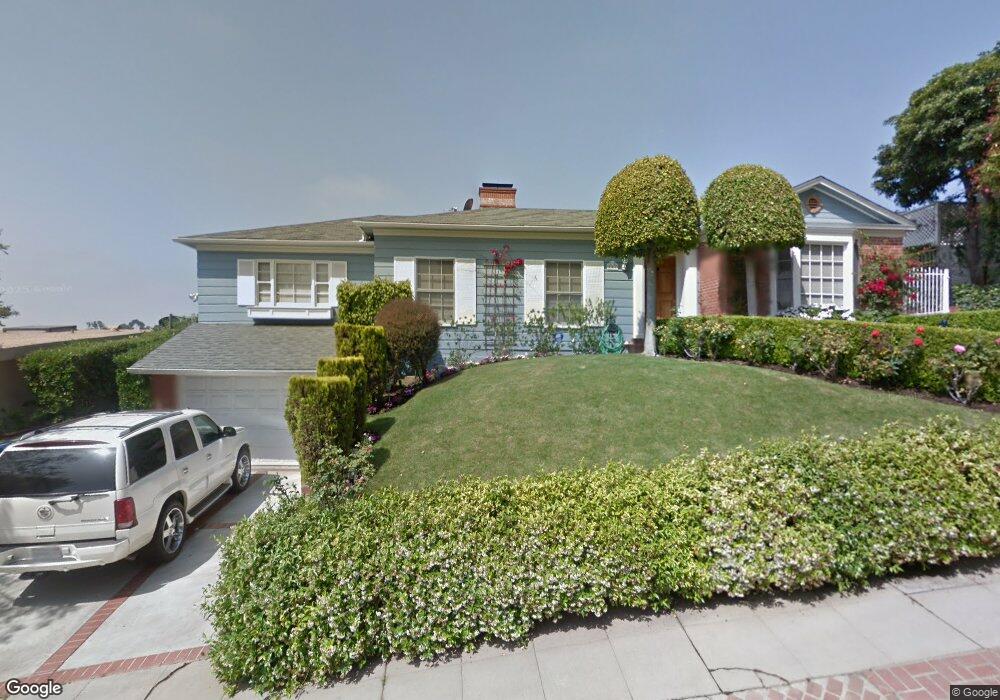
241 S Thurston Ave Los Angeles, CA 90049
Westwood NeighborhoodEstimated Value: $2,196,034 - $2,799,000
3
Beds
2
Baths
2,082
Sq Ft
$1,169/Sq Ft
Est. Value
About This Home
This home is located at 241 S Thurston Ave, Los Angeles, CA 90049 and is currently estimated at $2,433,509, approximately $1,168 per square foot. 241 S Thurston Ave is a home located in Los Angeles County with nearby schools including Warner Avenue Elementary, Community Magnet Charter Elementary, and Ralph Waldo Emerson Community Charter Middle School.
Ownership History
Date
Name
Owned For
Owner Type
Purchase Details
Closed on
Jul 31, 2017
Sold by
Karimi Siamack and Karimi Cyndi
Bought by
Los Angeles Metropolitan Transportation
Current Estimated Value
Purchase Details
Closed on
Dec 3, 1997
Sold by
Bloch Paul and Bloch Ida
Bought by
Karimi Siamack and Karimi Cyndi
Home Financials for this Owner
Home Financials are based on the most recent Mortgage that was taken out on this home.
Original Mortgage
$359,200
Interest Rate
7.31%
Purchase Details
Closed on
Sep 13, 1994
Sold by
Bloch Paul and Bloch Ida
Bought by
Bloch Paul and Bloch Ida
Home Financials for this Owner
Home Financials are based on the most recent Mortgage that was taken out on this home.
Original Mortgage
$310,000
Interest Rate
8.58%
Create a Home Valuation Report for This Property
The Home Valuation Report is an in-depth analysis detailing your home's value as well as a comparison with similar homes in the area
Home Values in the Area
Average Home Value in this Area
Purchase History
| Date | Buyer | Sale Price | Title Company |
|---|---|---|---|
| Los Angeles Metropolitan Transportation | -- | None Available | |
| Karimi Siamack | $449,000 | Guardian Title | |
| Bloch Paul | -- | Title Land Company Inc |
Source: Public Records
Mortgage History
| Date | Status | Borrower | Loan Amount |
|---|---|---|---|
| Previous Owner | Karimi Siamack | $359,200 | |
| Previous Owner | Bloch Paul | $310,000 |
Source: Public Records
Tax History Compared to Growth
Tax History
| Year | Tax Paid | Tax Assessment Tax Assessment Total Assessment is a certain percentage of the fair market value that is determined by local assessors to be the total taxable value of land and additions on the property. | Land | Improvement |
|---|---|---|---|---|
| 2025 | -- | $364,860 | $364,860 | -- |
| 2024 | -- | $364,860 | $364,860 | -- |
| 2023 | -- | $364,860 | $364,860 | -- |
| 2022 | $0 | $364,860 | $364,860 | $0 |
| 2021 | $0 | $364,860 | $364,860 | $0 |
| 2019 | $0 | $364,860 | $364,860 | $0 |
| 2018 | $0 | $630,087 | $364,860 | $265,227 |
| 2016 | $7,433 | $605,622 | $350,693 | $254,929 |
| 2015 | $7,325 | $596,526 | $345,426 | $251,100 |
| 2014 | $7,332 | $584,842 | $338,660 | $246,182 |
Source: Public Records
Map
Nearby Homes
- 11370 W Sunset Blvd Unit B
- 390 S Sepulveda Blvd Unit 105
- 390 S Sepulveda Blvd Unit 306
- 172 S Woodburn Dr
- 271 Beloit Ave
- 11450 Ayrshire Rd
- 11333 Montana Ave
- 255 S Bentley Ave
- 11345 Denair St
- 11120 W Sunset Blvd
- 130 S Bentley Ave
- 171 N Church Ln Unit 619
- 11378 Ovada Place
- 527 S Bentley Ave
- 11413 Bolas St
- 530 S Bentley Ave
- 141 N Bentley Ave
- 11556 Bellagio Rd
- 11670 W Sunset Blvd Unit 209
- 11601 Bellagio Rd
- 245 S S Thurston Ave Unit 5
- 245 S S Thurston Ave Unit 4
- 245 S Thurston Ave Unit 5
- 245 S Thurston Ave Unit 3
- 245 S Thurston Ave Unit 1
- 245 S Thurston Ave
- 231 S Thurston Ave
- 245 S Thurston Ave
- 245 S Thurston Ave
- 242 S Thurston Ave
- 248 S Thurston Ave
- 225 S Thurston Ave
- 251 S Thurston Ave
- 236 S Thurston Ave
- 230 S Thurston Ave
- 256 S Thurston Ave
- 255 S Thurston Ave
- 224 S Thurston Ave
- 11261 Homedale St
- 219 S Thurston Ave