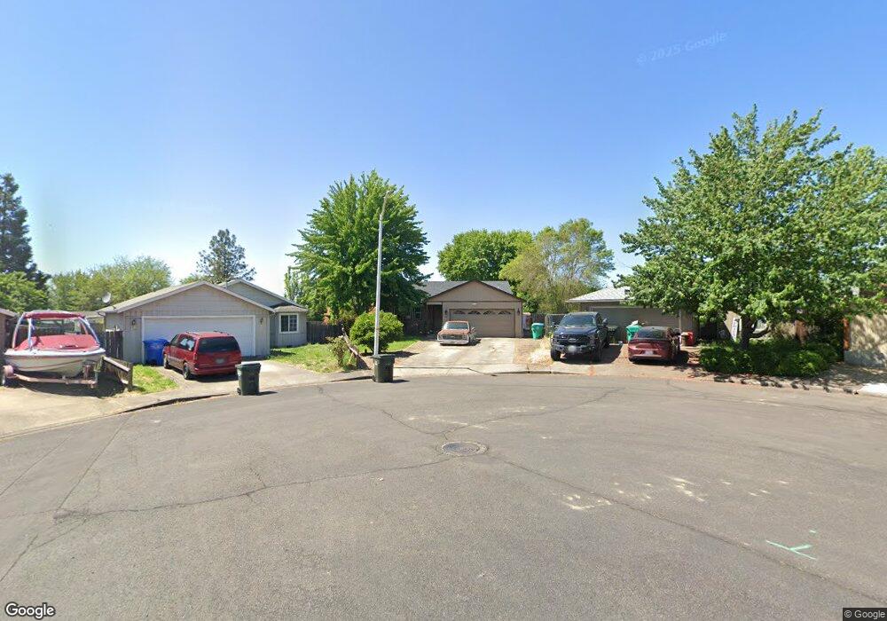
241 Thundercloud Cir Eagle Point, OR 97524
Estimated Value: $341,000 - $360,000
3
Beds
2
Baths
1,348
Sq Ft
$260/Sq Ft
Est. Value
About This Home
This home is located at 241 Thundercloud Cir, Eagle Point, OR 97524 and is currently estimated at $350,895, approximately $260 per square foot. 241 Thundercloud Cir is a home located in Jackson County with nearby schools including Eagle Rock Elementary School, Eagle Point Middle School, and White Mountain Middle School.
Ownership History
Date
Name
Owned For
Owner Type
Purchase Details
Closed on
Sep 18, 2018
Sold by
Crandall David Lee
Bought by
Crandall Tiffani
Current Estimated Value
Home Financials for this Owner
Home Financials are based on the most recent Mortgage that was taken out on this home.
Original Mortgage
$100,000
Outstanding Balance
$59,969
Interest Rate
4.5%
Mortgage Type
New Conventional
Estimated Equity
$290,926
Purchase Details
Closed on
Apr 12, 2004
Sold by
Burks Steven Ray and Burks Jennifer Deanne
Bought by
Crandall David L and Crandall Tiffani R
Home Financials for this Owner
Home Financials are based on the most recent Mortgage that was taken out on this home.
Original Mortgage
$128,000
Interest Rate
5.25%
Mortgage Type
Unknown
Create a Home Valuation Report for This Property
The Home Valuation Report is an in-depth analysis detailing your home's value as well as a comparison with similar homes in the area
Home Values in the Area
Average Home Value in this Area
Purchase History
| Date | Buyer | Sale Price | Title Company |
|---|---|---|---|
| Crandall Tiffani | -- | Ticor Title | |
| Crandall David L | $160,000 | Lawyers Title Ins |
Source: Public Records
Mortgage History
| Date | Status | Borrower | Loan Amount |
|---|---|---|---|
| Open | Crandall Tiffani | $100,000 | |
| Closed | Crandall David L | $128,000 | |
| Closed | Crandall David L | $24,000 |
Source: Public Records
Tax History
| Year | Tax Paid | Tax Assessment Tax Assessment Total Assessment is a certain percentage of the fair market value that is determined by local assessors to be the total taxable value of land and additions on the property. | Land | Improvement |
|---|---|---|---|---|
| 2026 | $2,447 | $179,830 | -- | -- |
| 2025 | $2,389 | $174,600 | $57,090 | $117,510 |
| 2024 | $2,389 | $169,520 | $55,430 | $114,090 |
| 2023 | $2,308 | $164,590 | $53,820 | $110,770 |
| 2022 | $2,245 | $164,590 | $53,820 | $110,770 |
| 2021 | $2,179 | $159,800 | $52,260 | $107,540 |
| 2020 | $2,315 | $155,150 | $50,740 | $104,410 |
| 2019 | $2,279 | $146,260 | $47,840 | $98,420 |
| 2018 | $2,236 | $142,000 | $46,450 | $95,550 |
| 2017 | $2,181 | $142,000 | $46,450 | $95,550 |
| 2016 | $2,139 | $133,860 | $43,790 | $90,070 |
| 2015 | $2,065 | $133,860 | $43,790 | $90,070 |
| 2014 | $1,926 | $125,520 | $79,950 | $45,570 |
Source: Public Records
Map
Nearby Homes
- 250 Tierra Cir
- 71 Tracy Ave Unit 71 & 73
- 911 Stonewater Dr
- 917 Stonewater Dr
- 912 Stonewater Dr
- 403 N Deanjou Ave
- 925 Sellwood Dr
- 407 N Deanjou Ave
- 1023 Highlands Dr
- 318 S Buchanan Ave
- 110 Linton Way
- 650 Sarah Ln
- 426 Westminster Dr
- 438 Westminster Dr
- 208 Northview Dr Unit 1B
- 620 S Royal Ave
- 945 Win Way
- 1017 Havenwood Dr
- 0 Crater Lake Hwy
- 407 S Shasta Ave
- 245 Thundercloud Cir
- 237 Thundercloud Cir
- 246 Tierra Cir
- 582 Laurel St
- 240 Thundercloud Cir
- 242 Tierra Cir
- 590 Laurel St
- 570 Laurel St
- 257 Thundercloud Cir
- 625 Clearview Way
- 598 Laurel St
- 548 Laurel St
- 244 Thundercloud Cir
- 416 Laurel St
- 239 Tierra Cir
- 248 Thundercloud Cir
- 608 Laurel St
- 526 Laurel St Unit 6
- 611 Clearview Way
- 243 Tierra Cir
Your Personal Tour Guide
Ask me questions while you tour the home.