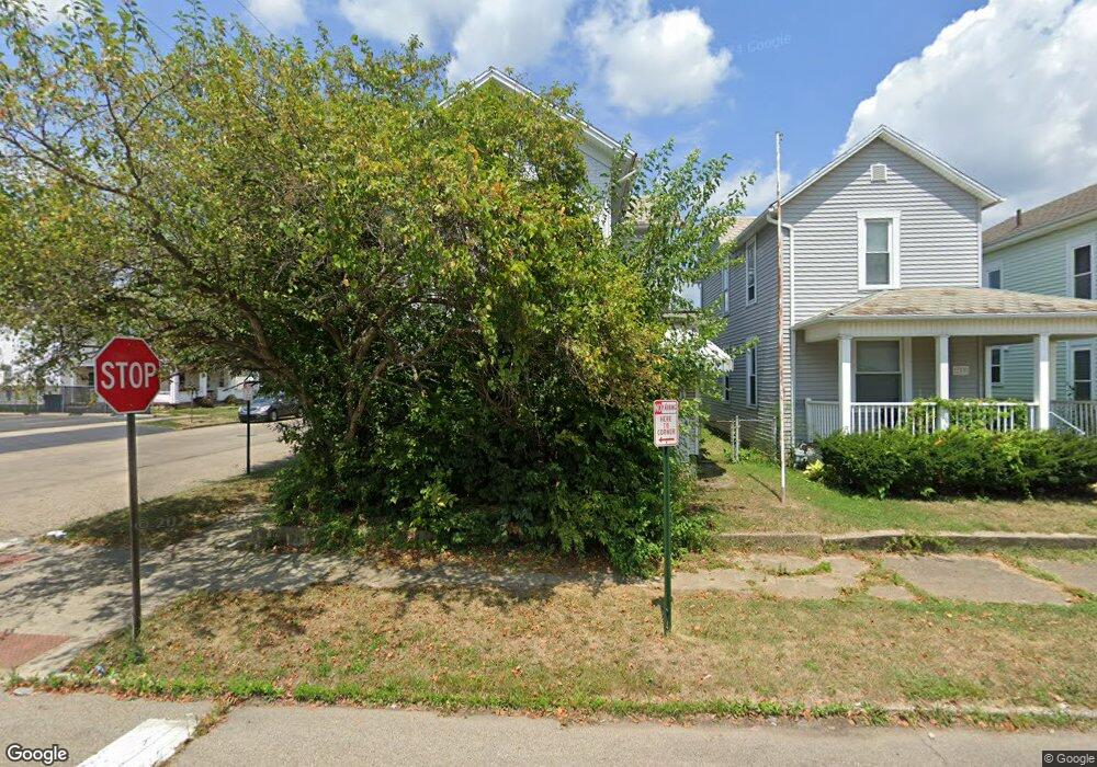
241 Union St Lancaster, OH 43130
Estimated Value: $94,000 - $184,000
3
Beds
2
Baths
1,519
Sq Ft
$97/Sq Ft
Est. Value
About This Home
This home is located at 241 Union St, Lancaster, OH 43130 and is currently estimated at $147,237, approximately $96 per square foot. 241 Union St is a home located in Fairfield County with nearby schools including Thomas Ewing Junior High School, Lancaster High School, and St Mary Elementary School.
Ownership History
Date
Name
Owned For
Owner Type
Purchase Details
Closed on
Aug 7, 1995
Sold by
Goldfarb Bertha J
Bought by
David N Casto
Current Estimated Value
Home Financials for this Owner
Home Financials are based on the most recent Mortgage that was taken out on this home.
Original Mortgage
$64,052
Interest Rate
7.56%
Mortgage Type
New Conventional
Purchase Details
Closed on
Aug 12, 1992
Sold by
Lane Constance
Bought by
Goldfarb Bertha J
Create a Home Valuation Report for This Property
The Home Valuation Report is an in-depth analysis detailing your home's value as well as a comparison with similar homes in the area
Home Values in the Area
Average Home Value in this Area
Purchase History
| Date | Buyer | Sale Price | Title Company |
|---|---|---|---|
| David N Casto | $65,000 | -- | |
| Goldfarb Bertha J | -- | -- |
Source: Public Records
Mortgage History
| Date | Status | Borrower | Loan Amount |
|---|---|---|---|
| Closed | David N Casto | $64,052 |
Source: Public Records
Tax History
| Year | Tax Paid | Tax Assessment Tax Assessment Total Assessment is a certain percentage of the fair market value that is determined by local assessors to be the total taxable value of land and additions on the property. | Land | Improvement |
|---|---|---|---|---|
| 2025 | $1,823 | $37,660 | $7,770 | $29,890 |
| 2024 | $1,823 | $20,280 | $3,380 | $16,900 |
| 2023 | $738 | $20,280 | $3,380 | $16,900 |
| 2022 | $741 | $20,280 | $3,380 | $16,900 |
| 2021 | $1,208 | $30,980 | $3,380 | $27,600 |
| 2020 | $1,214 | $30,980 | $3,380 | $27,600 |
| 2019 | $1,100 | $30,980 | $3,380 | $27,600 |
| 2018 | $959 | $24,960 | $3,380 | $21,580 |
| 2017 | $960 | $25,660 | $2,920 | $22,740 |
| 2016 | $935 | $25,660 | $2,920 | $22,740 |
| 2015 | $968 | $25,790 | $2,920 | $22,870 |
| 2014 | $922 | $25,790 | $2,920 | $22,870 |
| 2013 | $922 | $25,790 | $2,920 | $22,870 |
Source: Public Records
Map
Nearby Homes
- 233 Union St
- 515 N Columbus St
- 0 Slocum Ave
- 526 N Columbus St
- 627 N Columbus St
- 153 King St
- 0 N Columbus St
- 123 Arnold Ave
- 820 N Broad St
- 130 W Fair Ave
- 154 E Main St
- 600 N High St
- 249 N Pearl Ave
- 757 W Mulberry St
- 925 N Columbus St
- 701 W Wheeling St
- 336 Reber Ave
- 165 Lake St
- 335 Whiley Ave
- 330 Park St
- 231 Union St
- 410 Forest Rose Ave
- 4193 Demorest Cove Ct
- 229 Union St
- 407 Forest Rose Ave
- 238 Union St
- 240 Union St
- 417 Forest Rose Ave
- 415 Forest Rose Ave
- 420 Forest Rose Ave
- 400 N Memorial Dr
- 326 Forest Rose Ave
- 223 Union St
- 232 Union St
- 410 N Memorial Dr
- 426 Forest Rose Ave
- 324 Forest Rose Ave
- 228 Union St
- 232 W 5th Ave
- 224 Union St
Your Personal Tour Guide
Ask me questions while you tour the home.