24102 126th St Leavenworth, KS 66048
Estimated Value: $436,000 - $579,000
4
Beds
3
Baths
2,785
Sq Ft
$183/Sq Ft
Est. Value
About This Home
This home is located at 24102 126th St, Leavenworth, KS 66048 and is currently estimated at $508,842, approximately $182 per square foot. 24102 126th St is a home located in Leavenworth County with nearby schools including Lansing Elementary School, Lansing Middle 6-8, and Lansing High 9-12.
Ownership History
Date
Name
Owned For
Owner Type
Purchase Details
Closed on
Jul 1, 1990
Bought by
Piper Michael R and Piper Karen L
Current Estimated Value
Home Financials for this Owner
Home Financials are based on the most recent Mortgage that was taken out on this home.
Original Mortgage
$122,000
Interest Rate
10.15%
Mortgage Type
New Conventional
Create a Home Valuation Report for This Property
The Home Valuation Report is an in-depth analysis detailing your home's value as well as a comparison with similar homes in the area
Home Values in the Area
Average Home Value in this Area
Purchase History
| Date | Buyer | Sale Price | Title Company |
|---|---|---|---|
| Piper Michael R | $127,500 | -- |
Source: Public Records
Mortgage History
| Date | Status | Borrower | Loan Amount |
|---|---|---|---|
| Closed | Piper Michael R | $122,000 | |
| Closed | Piper Michael R | $122,081 |
Source: Public Records
Tax History Compared to Growth
Tax History
| Year | Tax Paid | Tax Assessment Tax Assessment Total Assessment is a certain percentage of the fair market value that is determined by local assessors to be the total taxable value of land and additions on the property. | Land | Improvement |
|---|---|---|---|---|
| 2025 | $5,777 | $52,861 | $9,898 | $42,963 |
| 2024 | $5,355 | $50,828 | $11,185 | $39,643 |
| 2023 | $5,355 | $49,348 | $11,185 | $38,163 |
| 2022 | $4,988 | $44,309 | $7,547 | $36,762 |
| 2021 | $4,854 | $42,573 | $6,731 | $35,842 |
| 2020 | $4,523 | $39,031 | $6,445 | $32,586 |
| 2019 | $4,532 | $39,031 | $5,835 | $33,196 |
| 2018 | $4,296 | $37,041 | $4,915 | $32,126 |
| 2017 | $4,135 | $35,852 | $4,754 | $31,098 |
| 2016 | $3,983 | $34,592 | $4,691 | $29,901 |
| 2015 | -- | $33,166 | $4,691 | $28,475 |
| 2014 | -- | $32,292 | $4,691 | $27,601 |
Source: Public Records
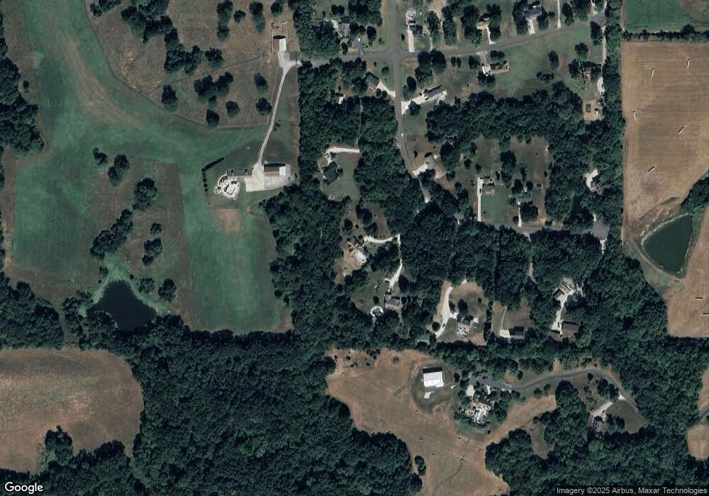
Map
Nearby Homes
- 24131 126th St
- 13788 McIntyre2 Rd
- 13788 McIntyre1 Rd
- 13788 Mcintyre Rd
- Lot 2 139th St
- 13965 Mc Intyre Rd
- 24431 139th St
- 13021 Polfer Rd
- 23802 140th St
- 24730 Tontine Rd
- 13521 Polfer Rd
- 131 Rock Creek Loop
- 4933 N 123rd St
- 115 W Gilman Rd
- 901 S Main St
- 705 Rock Creek Dr
- 4815 N 126th St
- 4812 N 125th St
- 513 Forestglen Ln
- 4825 N 123rd St
- 24097 126th St
- 24112 126th St
- 12601 Knollwood Dr
- 24159 126th St
- 12582 Knollwood Dr
- 24152 126th St
- 12555 Knollwood Dr
- 12556 Knollwood Dr
- 23995 123rd St
- 12660 Bluegrass Ln
- 12612 Bluegrass Ln
- 12501 Knollwood Dr
- 12579 Bluegrass Ln
- 12500 Knollwood Dr
- 12550 Bluegrass Ln
- 24254 126th St
- 12526 Bluegrass Ln
- 24259 126th St
- 24282 126th St
- 12512 Bluegrass Ln