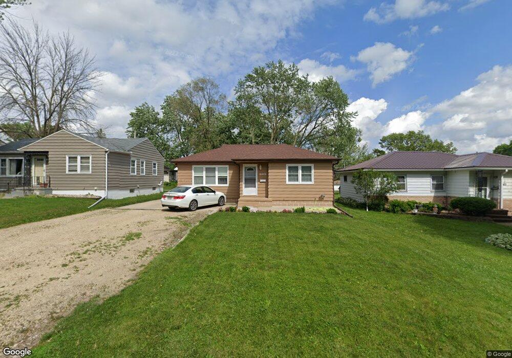
2415 W 7th St Waterloo, IA 50702
Liberty Park NeighborhoodEstimated Value: $134,000 - $136,955
3
Beds
2
Baths
972
Sq Ft
$139/Sq Ft
Est. Value
About This Home
This home is located at 2415 W 7th St, Waterloo, IA 50702 and is currently estimated at $135,239, approximately $139 per square foot. 2415 W 7th St is a home located in Black Hawk County with nearby schools including Kittrell Elementary School, Hoover Middle School, and West High School.
Ownership History
Date
Name
Owned For
Owner Type
Purchase Details
Closed on
Nov 11, 2008
Sold by
Co Hsbc Mortgage Services Inc
Bought by
Kurtovic Mesud and Kurtovic Rufija
Current Estimated Value
Home Financials for this Owner
Home Financials are based on the most recent Mortgage that was taken out on this home.
Original Mortgage
$70,000
Interest Rate
5.95%
Mortgage Type
New Conventional
Purchase Details
Closed on
Sep 5, 2008
Sold by
Mark A Dreyer and Dreyer Cheryl
Bought by
Be Hsbc Mortgage Services Inc
Create a Home Valuation Report for This Property
The Home Valuation Report is an in-depth analysis detailing your home's value as well as a comparison with similar homes in the area
Home Values in the Area
Average Home Value in this Area
Purchase History
| Date | Buyer | Sale Price | Title Company |
|---|---|---|---|
| Kurtovic Mesud | $75,000 | None Available | |
| Be Hsbc Mortgage Services Inc | $51,399 | None Available |
Source: Public Records
Mortgage History
| Date | Status | Borrower | Loan Amount |
|---|---|---|---|
| Closed | Kurtovic Mesud | $70,000 |
Source: Public Records
Tax History
| Year | Tax Paid | Tax Assessment Tax Assessment Total Assessment is a certain percentage of the fair market value that is determined by local assessors to be the total taxable value of land and additions on the property. | Land | Improvement |
|---|---|---|---|---|
| 2025 | $2,488 | $137,420 | $16,630 | $120,790 |
| 2024 | $2,488 | $124,910 | $16,630 | $108,280 |
| 2023 | $2,068 | $124,910 | $16,630 | $108,280 |
| 2022 | $2,026 | $103,080 | $16,630 | $86,450 |
| 2021 | $1,974 | $103,700 | $16,630 | $87,070 |
| 2020 | $1,938 | $95,770 | $13,060 | $82,710 |
| 2019 | $1,938 | $95,770 | $13,060 | $82,710 |
| 2018 | $1,940 | $95,770 | $13,060 | $82,710 |
| 2017 | $2,004 | $95,770 | $13,060 | $82,710 |
| 2016 | $1,974 | $95,770 | $13,060 | $82,710 |
| 2015 | $1,974 | $95,770 | $13,060 | $82,710 |
| 2014 | $1,912 | $91,420 | $13,060 | $78,360 |
Source: Public Records
Map
Nearby Homes
- 819 Easton Ave
- 1103 Easton Ave
- 2547 W 9th St
- 1150 Easton Ave
- 1002 E Ridgeway Ave
- 1809 Baltimore St
- 922 E Mitchell Ave
- 814 E Mitchell Ave
- 2506 Laurel St
- 1107 E Mitchell Ave
- 610 Burbank Ave
- 2527 Randolph St
- 2425 Randolph St
- 1141 E Mitchell Ave
- 2624 Manor St
- 1181 E Mitchell Ave
- 1191 Lindner Dr
- 3112 W 9th St
- 1219 Hammond Ave
- 2648 Saratoga Dr
Your Personal Tour Guide
Ask me questions while you tour the home.