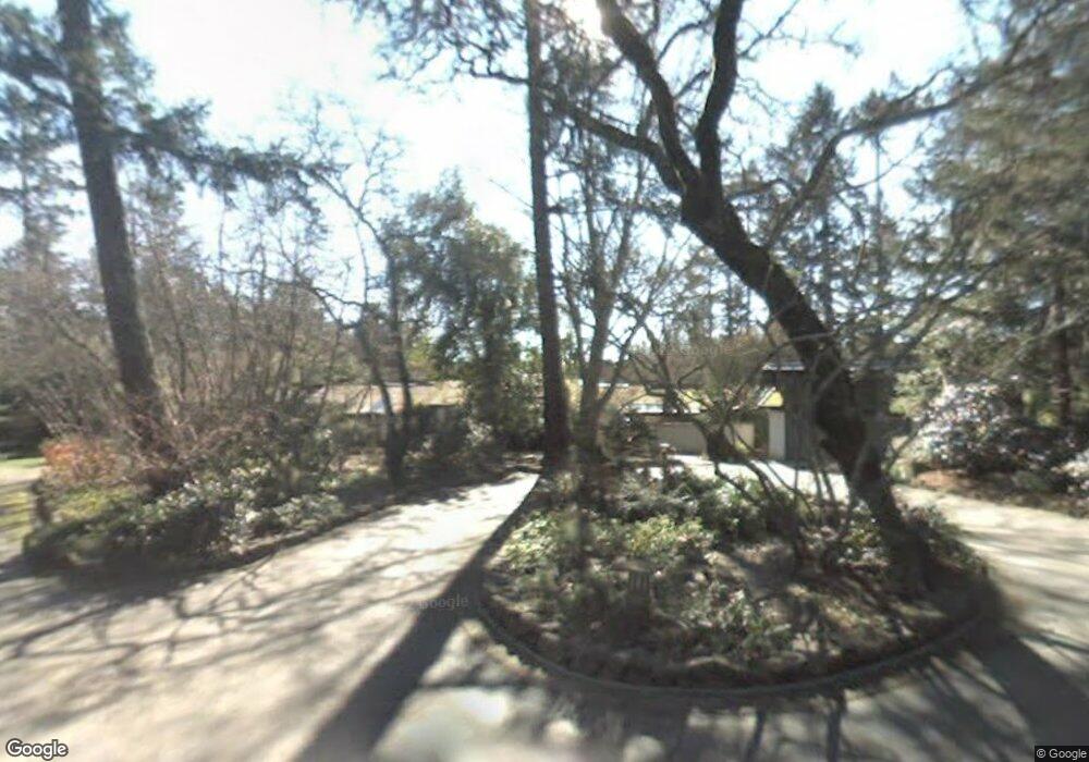
2417 Burnside Rd Sebastopol, CA 95472
Estimated Value: $1,364,000
3
Beds
3
Baths
2,893
Sq Ft
$471/Sq Ft
Est. Value
About This Home
This home is located at 2417 Burnside Rd, Sebastopol, CA 95472 and is currently estimated at $1,364,000, approximately $471 per square foot. 2417 Burnside Rd is a home located in Sonoma County with nearby schools including Apple Blossom School, Analy High School, and Twin Hills Charter Middle School.
Ownership History
Date
Name
Owned For
Owner Type
Purchase Details
Closed on
Aug 20, 1993
Sold by
Langeberg Cornelius W and Langeberg Charlotte R
Bought by
Langeberg Cornelius W and Langeberg Charlotte R
Current Estimated Value
Home Financials for this Owner
Home Financials are based on the most recent Mortgage that was taken out on this home.
Original Mortgage
$200,000
Interest Rate
7.38%
Purchase Details
Closed on
Jul 22, 1993
Sold by
Langeberg Cornelius W and Langeberg Charlotte R
Bought by
Langenberg Cornelius W and Langeberg Charlotte R
Home Financials for this Owner
Home Financials are based on the most recent Mortgage that was taken out on this home.
Original Mortgage
$200,000
Interest Rate
7.38%
Create a Home Valuation Report for This Property
The Home Valuation Report is an in-depth analysis detailing your home's value as well as a comparison with similar homes in the area
Purchase History
| Date | Buyer | Sale Price | Title Company |
|---|---|---|---|
| Langeberg Cornelius W | -- | -- | |
| Langenberg Cornelius W | -- | Sonoma Title Guaranty Compan |
Source: Public Records
Mortgage History
| Date | Status | Borrower | Loan Amount |
|---|---|---|---|
| Previous Owner | Langenberg Cornelius W | $200,000 |
Source: Public Records
Tax History
| Year | Tax Paid | Tax Assessment Tax Assessment Total Assessment is a certain percentage of the fair market value that is determined by local assessors to be the total taxable value of land and additions on the property. | Land | Improvement |
|---|---|---|---|---|
| 2025 | $5,190 | $422,741 | $53,119 | $369,622 |
| 2024 | $5,190 | $414,453 | $52,078 | $362,375 |
| 2023 | $5,190 | $265,873 | $51,057 | $214,816 |
| 2022 | $3,296 | $260,660 | $50,056 | $210,604 |
| 2021 | $3,043 | $237,550 | $49,075 | $188,475 |
| 2020 | $3,091 | $235,115 | $48,572 | $186,543 |
| 2019 | $2,809 | $230,506 | $47,620 | $182,886 |
| 2018 | $2,765 | $225,987 | $46,687 | $179,300 |
| 2017 | $2,651 | $221,557 | $45,772 | $175,785 |
| 2016 | $2,602 | $217,214 | $44,875 | $172,339 |
| 2015 | $2,522 | $213,952 | $44,201 | $169,751 |
| 2014 | $2,473 | $209,762 | $43,336 | $166,426 |
Source: Public Records
Map
Nearby Homes
- 10966 Barnett Valley Rd
- 459 Gold Ridge Rd
- 3590 Burnside Rd
- 189 Wagnon Rd
- 0 Bodega Hwy
- 789 Pleasant Hill Rd
- 1430 Santa Maria Way
- 8148 Bodega Ave
- 8086 Bodega Ave
- 8061 Elphick Rd
- 940 Ferguson Rd
- 1025 Laurel Ave
- 200 Pleasant Hill Ave N
- 790 Ferguson Rd
- 808 Grandview Rd
- 7859 Anthony St
- 7720 Bodega Ave Unit 3
- 1417 Deer Ln
- 8091 Hill Dr
- 7950 Viola Ct
- 2413 Burnside Rd
- 2393 Burnside Rd
- 2395 Burnside Rd
- 2750 Burnside Rd
- 2401 Burnside Rd
- 2825 Lynn Rd
- 2838 Lynn Rd
- 2397 Burnside Rd
- 2839 Lynn Rd
- 2835 Lynn Rd
- 2415 Burnside Rd
- 2407 Burnside Rd
- 2848 Lynn Rd
- 2391 Burnside Rd
- 2399 Burnside Rd
- 2866 Lynn Rd
- 9570 Barnett Valley Rd
- 1470 Darby Rd
- 2387 Burnside Rd
Your Personal Tour Guide
Ask me questions while you tour the home.