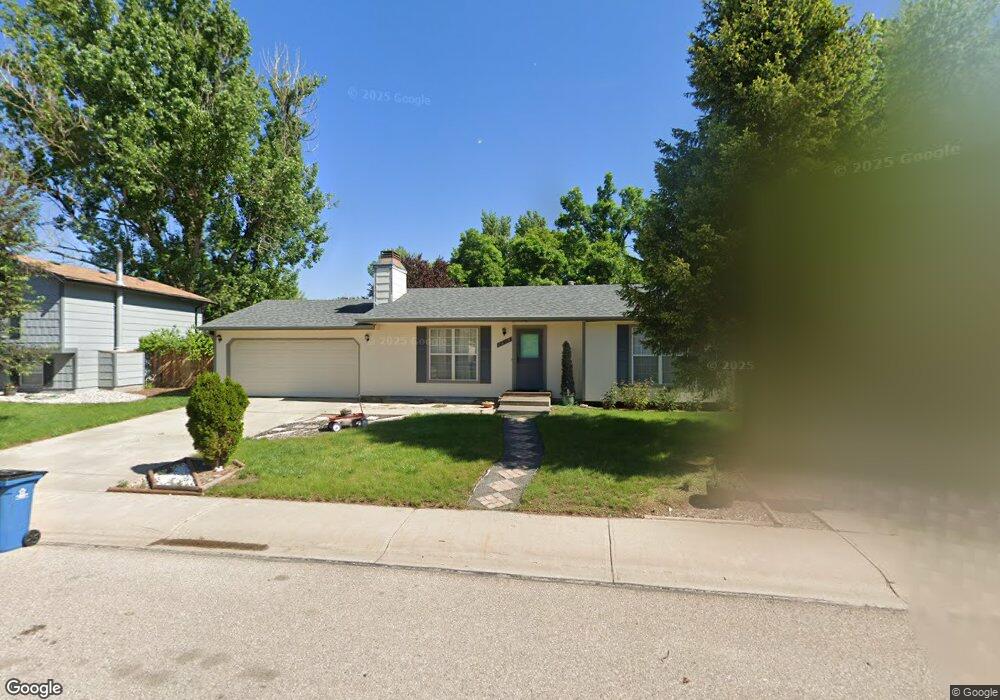
2418 Kodiak Rd Fort Collins, CO 80525
Foxstone NeighborhoodEstimated Value: $494,000 - $554,000
3
Beds
2
Baths
900
Sq Ft
$576/Sq Ft
Est. Value
About This Home
This home is located at 2418 Kodiak Rd, Fort Collins, CO 80525 and is currently estimated at $518,408, approximately $576 per square foot. 2418 Kodiak Rd is a home located in Larimer County with nearby schools including Linton Elementary School, Boltz Middle School, and Fort Collins High School.
Ownership History
Date
Name
Owned For
Owner Type
Purchase Details
Closed on
Apr 10, 2012
Sold by
Tenski James J
Bought by
Hanschen Michael J and Hanschen Sandra L
Current Estimated Value
Home Financials for this Owner
Home Financials are based on the most recent Mortgage that was taken out on this home.
Original Mortgage
$187,625
Outstanding Balance
$129,656
Interest Rate
3.92%
Mortgage Type
New Conventional
Estimated Equity
$388,752
Purchase Details
Closed on
May 1, 1994
Sold by
Carrier Steven E
Bought by
Tenski James J
Create a Home Valuation Report for This Property
The Home Valuation Report is an in-depth analysis detailing your home's value as well as a comparison with similar homes in the area
Home Values in the Area
Average Home Value in this Area
Purchase History
| Date | Buyer | Sale Price | Title Company |
|---|---|---|---|
| Hanschen Michael J | $197,500 | Guardian Title | |
| Tenski James J | $115,500 | -- |
Source: Public Records
Mortgage History
| Date | Status | Borrower | Loan Amount |
|---|---|---|---|
| Open | Hanschen Michael J | $187,625 |
Source: Public Records
Tax History Compared to Growth
Tax History
| Year | Tax Paid | Tax Assessment Tax Assessment Total Assessment is a certain percentage of the fair market value that is determined by local assessors to be the total taxable value of land and additions on the property. | Land | Improvement |
|---|---|---|---|---|
| 2025 | $2,315 | $34,512 | $2,546 | $31,966 |
| 2024 | $2,203 | $34,512 | $2,546 | $31,966 |
| 2022 | $2,324 | $24,617 | $2,641 | $21,976 |
| 2021 | $2,349 | $25,325 | $2,717 | $22,608 |
| 2020 | $2,362 | $25,247 | $2,717 | $22,530 |
| 2019 | $2,372 | $25,247 | $2,717 | $22,530 |
| 2018 | $1,914 | $21,002 | $2,736 | $18,266 |
| 2017 | $1,908 | $21,002 | $2,736 | $18,266 |
| 2016 | $1,714 | $18,770 | $3,025 | $15,745 |
| 2015 | $1,701 | $18,760 | $3,020 | $15,740 |
| 2014 | $1,523 | $16,700 | $3,020 | $13,680 |
Source: Public Records
Map
Nearby Homes
- 2500 Wapiti Rd
- 3830 Arctic Fox Dr
- 2637 Newgate Ct
- 4045 Stoney Creek Dr
- 2608 Paddington Rd
- 2800 Whitworth Dr
- 4057 Harrington Ct
- 3001 Stockbury Dr
- 2500 E Rd Unit 293
- 2500 E Harmony Rd Unit 166
- 2500 E Harmony Rd Unit 456
- 2500 E Harmony Rd Unit 301
- 2500 E Harmony Rd Unit 178
- 2500 E Harmony Rd Unit 481
- 2500 E Harmony Rd Unit 293
- 3024 Antelope Rd
- 3748 Carrington Cir
- 3021 Waterstone Ct
- 3500 Carlton Ave Unit U49
- 2718 Red Cloud Ct