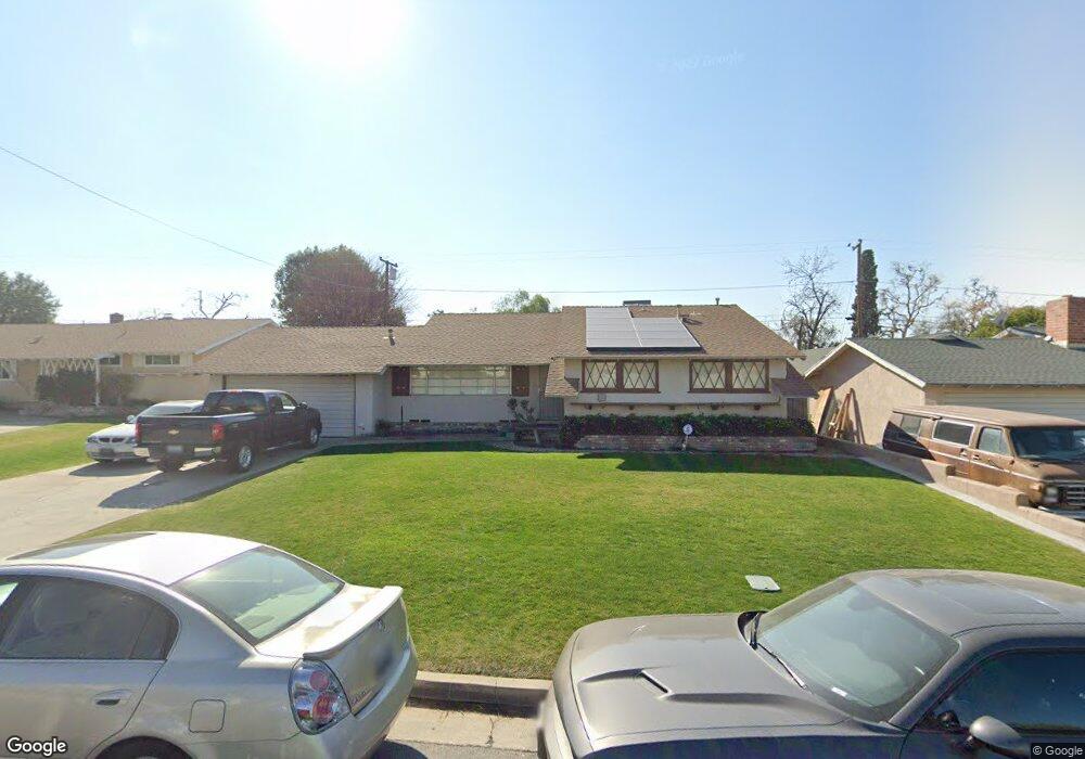
2419 Blade Ave Bakersfield, CA 93306
College Heights NeighborhoodEstimated Value: $262,000 - $333,000
3
Beds
2
Baths
1,359
Sq Ft
$218/Sq Ft
Est. Value
About This Home
This home is located at 2419 Blade Ave, Bakersfield, CA 93306 and is currently estimated at $295,962, approximately $217 per square foot. 2419 Blade Ave is a home located in Kern County with nearby schools including Colonel Howard Nichols Elementary School, Chipman Junior High School, and East Bakersfield High School.
Ownership History
Date
Name
Owned For
Owner Type
Purchase Details
Closed on
Aug 20, 1997
Sold by
Hud
Bought by
Barron Arturo and Barron Maricela
Current Estimated Value
Home Financials for this Owner
Home Financials are based on the most recent Mortgage that was taken out on this home.
Original Mortgage
$95,100
Interest Rate
7.49%
Mortgage Type
FHA
Purchase Details
Closed on
Apr 29, 1997
Sold by
Gmac Mtg Corp Of Pa
Bought by
Hud
Create a Home Valuation Report for This Property
The Home Valuation Report is an in-depth analysis detailing your home's value as well as a comparison with similar homes in the area
Home Values in the Area
Average Home Value in this Area
Purchase History
| Date | Buyer | Sale Price | Title Company |
|---|---|---|---|
| Barron Arturo | $78,500 | American Title Co | |
| Hud | -- | Fidelity National Title Ins | |
| Gmac Mtg Corp | $96,730 | Fidelity National Title Ins |
Source: Public Records
Mortgage History
| Date | Status | Borrower | Loan Amount |
|---|---|---|---|
| Previous Owner | Barron Arturo | $95,100 |
Source: Public Records
Tax History
| Year | Tax Paid | Tax Assessment Tax Assessment Total Assessment is a certain percentage of the fair market value that is determined by local assessors to be the total taxable value of land and additions on the property. | Land | Improvement |
|---|---|---|---|---|
| 2025 | $2,071 | $125,316 | $39,905 | $85,411 |
| 2024 | $2,021 | $122,860 | $39,123 | $83,737 |
| 2023 | $2,021 | $120,452 | $38,356 | $82,096 |
| 2022 | $1,965 | $118,091 | $37,604 | $80,487 |
| 2021 | $1,860 | $115,776 | $36,867 | $78,909 |
| 2020 | $1,823 | $114,589 | $36,489 | $78,100 |
| 2019 | $1,786 | $114,589 | $36,489 | $78,100 |
| 2018 | $1,746 | $110,141 | $35,073 | $75,068 |
| 2017 | $1,733 | $107,983 | $34,386 | $73,597 |
| 2016 | $1,601 | $105,866 | $33,712 | $72,154 |
| 2015 | $1,588 | $104,277 | $33,206 | $71,071 |
| 2014 | $1,536 | $102,235 | $32,556 | $69,679 |
Source: Public Records
Map
Nearby Homes
- 2418 Driller Ave
- 2624 Renegade Ave
- 2701 Renegade Ave
- 2701 Kaibab Ave
- 3516 Dana St Unit 3
- 3516 Dana St Unit 10
- 2109 University Ave
- 2712 San Pablo Ave
- 2801 Kaibab Ave
- 2420 Eric Way
- 2819 Renegade Ave
- 2818 San Pablo Ave
- 2907 Driller Ave
- 2907 Gill Ave
- 3901 Noel Place
- 3013 Arnold St
- 2813 Baylor St
- 2913 Harmony Dr
- 3204 Hollins St
- 2831 Crest Dr
- 2501 Blade Ave
- 2413 Blade Ave
- 2418 Renegade Ave
- 2500 Renegade Ave
- 2412 Renegade Ave
- 2507 Blade Ave
- 2407 Blade Ave
- 2418 Blade Ave
- 2412 Blade Ave
- 2500 Blade Ave
- 2406 Renegade Ave
- 2506 Renegade Ave
- 2406 Blade Ave
- 2506 Blade Ave
- 2513 Blade Ave
- 2401 Blade Ave
- 2512 Renegade Ave
- 2400 Renegade Ave
- 2419 Kaibab Ave
- 2419 Renegade Ave
Your Personal Tour Guide
Ask me questions while you tour the home.