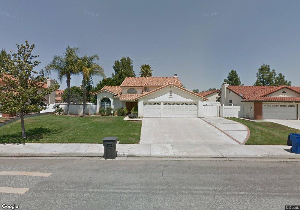
242 Cannon Rd Riverside, CA 92506
Mission Grove NeighborhoodEstimated Value: $746,000 - $831,000
About This Home
This home is located at 242 Cannon Rd, Riverside, CA 92506 and is currently estimated at $796,681, approximately $350 per square foot. 242 Cannon Rd is a home located in Riverside County with nearby schools including William Howard Taft Elementary School, Amelia Earhart Middle School, and Martin Luther King Junior High School.
Ownership History
We collect this data history from publicly available records. To have your information removed, we recommend requesting removal directly through your county’s website.
Purchase Details
Home Financials for this Owner
Home Financials are based on the most recent Mortgage that was taken out on this home.Home Values in the Area
Average Home Value in this Area
Purchase History
We collect this data history from publicly available records. To have your information removed, we recommend requesting removal directly through your county’s website.
| Date | Buyer | Sale Price | Title Company |
|---|---|---|---|
| -- | Chicago Title Company |
Mortgage History
We collect this data history from publicly available records. To have your information removed, we recommend requesting removal directly through your county’s website.
| Date | Status | Borrower | Loan Amount |
|---|---|---|---|
| Closed | $234,000 |
Tax History
We collect this data history from publicly available records. To have your information removed, we recommend requesting removal directly through your county’s website.
| Year | Tax Paid | Tax Assessment Tax Assessment Total Assessment is a certain percentage of the fair market value that is determined by local assessors to be the total taxable value of land and additions on the property. | Land | Improvement |
|---|---|---|---|---|
| 2025 | $3,588 | $335,370 | $66,967 | $268,403 |
| 2023 | $3,588 | $322,349 | $64,367 | $257,982 |
| 2022 | $3,504 | $316,029 | $63,105 | $252,924 |
| 2021 | $3,462 | $309,833 | $61,868 | $247,965 |
| 2020 | $3,435 | $306,657 | $61,234 | $245,423 |
| 2019 | $3,370 | $300,645 | $60,034 | $240,611 |
| 2018 | $3,303 | $294,751 | $58,858 | $235,893 |
| 2017 | $3,243 | $288,972 | $57,704 | $231,268 |
| 2016 | $3,035 | $283,307 | $56,573 | $226,734 |
| 2015 | $2,991 | $279,053 | $55,724 | $223,329 |
| 2014 | $2,971 | $273,589 | $54,634 | $218,955 |
Map
- 282 Port Royal Way
- 200 E Alessandro Blvd Unit 34
- 110 Sandpoint Ln
- 901 Clearwood Ave
- 1003 Clearwood Ave
- 7639 Hillhurst Dr
- 14010 Bush Ave
- 6744 Mission Grove Pkwy N
- 19584 Jill Ct
- 7615 Canberra Way
- 3200 Virgie Ct
- 11270 Mathilda Ln
- 14435 Wood Rd
- 7215 Ayers Rock Rd
- 7158 Golden Vale Dr
- 7395 Ayers Rock Rd
- 1210 Versailles Cir
- 807 Lomond Dr
- 7007 Golden Vale Dr
- 14420 Merlot Ct
- 250 Cannon Rd
- 234 Cannon Rd
- 7169 Foxcroft St
- 7160 Tiverton Way
- 7159 Foxcroft St
- 243 Cannon Rd
- 235 Cannon Rd
- 251 Cannon Rd
- 7150 Tiverton Way
- 7149 Foxcroft St
- 227 Cannon Rd
- 258 Cannon Rd
- 7161 Tiverton Way
- 7151 Tiverton Way
- 7214 Goldboro Ln
- 7178 Foxcroft St
- 7140 Tiverton Way
- 7202 Goldboro Ln
- 7231 Foxcroft St
- 7168 Foxcroft St
Ask me questions while you tour the home.