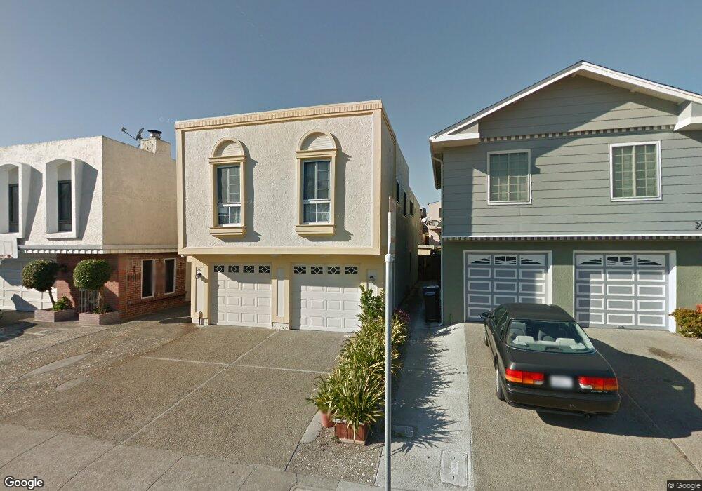
242 Dennis Dr Daly City, CA 94015
Serramonte NeighborhoodEstimated Value: $1,191,000 - $1,388,000
5
Beds
3
Baths
2,110
Sq Ft
$621/Sq Ft
Est. Value
About This Home
This home is located at 242 Dennis Dr, Daly City, CA 94015 and is currently estimated at $1,310,608, approximately $621 per square foot. 242 Dennis Dr is a home located in San Mateo County with nearby schools including Skyline Elementary School, Westborough Middle School, and El Camino High School.
Ownership History
Date
Name
Owned For
Owner Type
Purchase Details
Closed on
Dec 22, 2016
Sold by
Tan Patrick
Bought by
The Patrick H Tan & Rose Marie L Tan Rev and Tan Patrick H
Current Estimated Value
Purchase Details
Closed on
Jan 15, 2003
Sold by
Tan Patrick H and Tan Rose Marie Lim
Bought by
Tan Patrick H and Tan Rose Marie Lim
Purchase Details
Closed on
May 2, 1997
Sold by
Glenn Hodges Ronald
Bought by
Tan Patrick Hork San and Chang Steven Thein Tun
Home Financials for this Owner
Home Financials are based on the most recent Mortgage that was taken out on this home.
Original Mortgage
$200,000
Interest Rate
7.96%
Create a Home Valuation Report for This Property
The Home Valuation Report is an in-depth analysis detailing your home's value as well as a comparison with similar homes in the area
Home Values in the Area
Average Home Value in this Area
Purchase History
| Date | Buyer | Sale Price | Title Company |
|---|---|---|---|
| The Patrick H Tan & Rose Marie L Tan Rev | -- | None Available | |
| Tan Patrick H | -- | Chicago Title Co | |
| Tan Patrick Hork San | $290,500 | Commonwealth Land Title Co |
Source: Public Records
Mortgage History
| Date | Status | Borrower | Loan Amount |
|---|---|---|---|
| Previous Owner | Tan Patrick Hork San | $200,000 |
Source: Public Records
Tax History
| Year | Tax Paid | Tax Assessment Tax Assessment Total Assessment is a certain percentage of the fair market value that is determined by local assessors to be the total taxable value of land and additions on the property. | Land | Improvement |
|---|---|---|---|---|
| 2025 | $5,612 | $473,110 | $236,555 | $236,555 |
| 2023 | $5,612 | $454,740 | $227,370 | $227,370 |
| 2022 | $5,306 | $445,824 | $222,912 | $222,912 |
| 2021 | $5,392 | $437,084 | $218,542 | $218,542 |
| 2020 | $5,489 | $432,604 | $216,302 | $216,302 |
| 2019 | $5,387 | $424,122 | $212,061 | $212,061 |
| 2018 | $4,900 | $415,806 | $207,903 | $207,903 |
| 2017 | $4,864 | $407,654 | $203,827 | $203,827 |
| 2016 | $4,809 | $399,662 | $199,831 | $199,831 |
| 2015 | $4,737 | $393,660 | $196,830 | $196,830 |
| 2014 | $4,262 | $385,950 | $192,975 | $192,975 |
Source: Public Records
Map
Nearby Homes
- 276 Dennis Dr
- 404 Michelle Ln
- 257 Hampshire Ct
- 721 Gellert Blvd
- 2464 Rowntree Way
- 209 Norwich Dr
- 3885 Carter Dr Unit 202
- 227 Wicklow Dr
- 3734 Myrna Ln
- 2625 Duhallow Way
- 340 Alta Mesa Dr
- 2728 Kilconway Ln
- 864 Alta Loma Dr
- 2504 Ardee Ln
- 2405 Liberty Ct
- 3550 Carter Dr Unit 101
- 3550 Carter Dr Unit 126
- 3550 Carter Dr Unit 32
- 2401 Ardee Ln
- 377 Mandarin Dr Unit 105
Your Personal Tour Guide
Ask me questions while you tour the home.