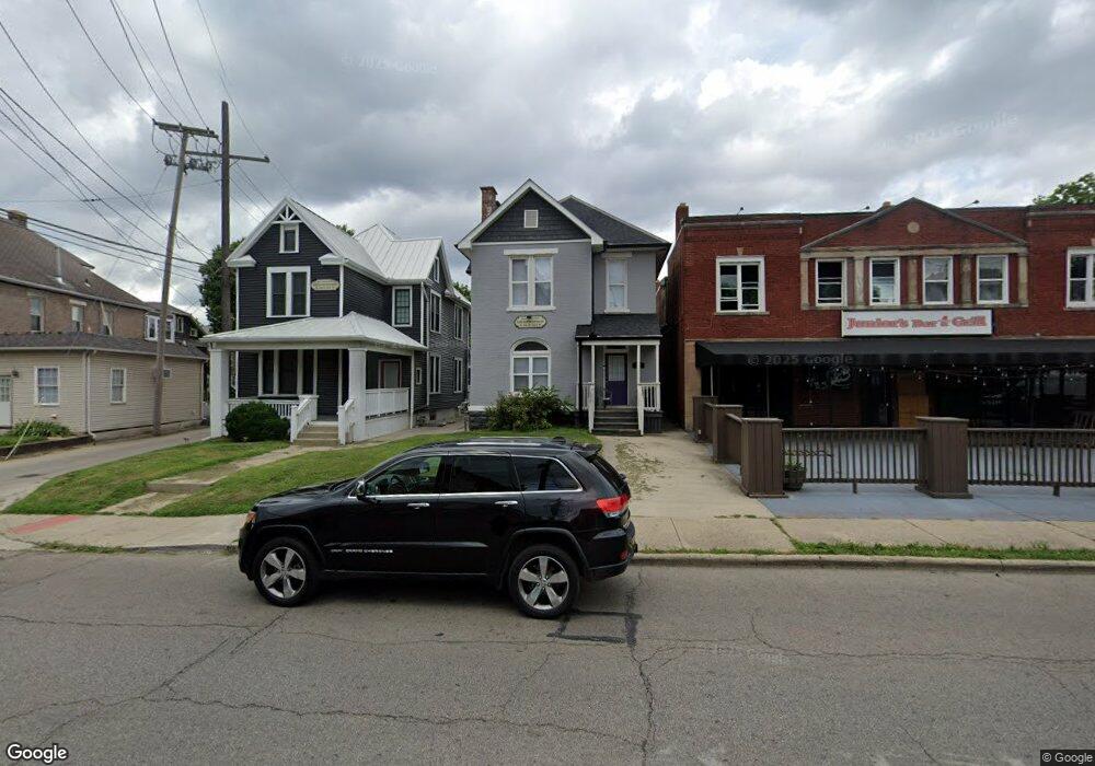
242 King Ave Columbus, OH 43201
Dennison Place NeighborhoodEstimated Value: $449,463 - $591,000
4
Beds
2
Baths
2,102
Sq Ft
$256/Sq Ft
Est. Value
About This Home
This home is located at 242 King Ave, Columbus, OH 43201 and is currently estimated at $537,866, approximately $255 per square foot. 242 King Ave is a home located in Franklin County with nearby schools including Hubbard Elementary School, Dominion Middle School, and Whetstone High School.
Ownership History
Date
Name
Owned For
Owner Type
Purchase Details
Closed on
Dec 14, 2007
Sold by
National City Bank
Bought by
Winkle Osu Llc
Current Estimated Value
Home Financials for this Owner
Home Financials are based on the most recent Mortgage that was taken out on this home.
Original Mortgage
$9,059,200
Interest Rate
6.31%
Mortgage Type
Purchase Money Mortgage
Purchase Details
Closed on
Aug 20, 1975
Bought by
Kessler Francis W
Create a Home Valuation Report for This Property
The Home Valuation Report is an in-depth analysis detailing your home's value as well as a comparison with similar homes in the area
Home Values in the Area
Average Home Value in this Area
Purchase History
| Date | Buyer | Sale Price | Title Company |
|---|---|---|---|
| Winkle Osu Llc | $10,100,000 | Northwest T | |
| Kessler Francis W | -- | -- |
Source: Public Records
Mortgage History
| Date | Status | Borrower | Loan Amount |
|---|---|---|---|
| Closed | Winkle Osu Llc | $9,059,200 |
Source: Public Records
Tax History
| Year | Tax Paid | Tax Assessment Tax Assessment Total Assessment is a certain percentage of the fair market value that is determined by local assessors to be the total taxable value of land and additions on the property. | Land | Improvement |
|---|---|---|---|---|
| 2025 | $5,835 | $127,330 | $48,790 | $78,540 |
| 2024 | $5,835 | $127,330 | $48,790 | $78,540 |
| 2023 | $5,762 | $127,330 | $48,790 | $78,540 |
| 2022 | $5,348 | $100,630 | $28,250 | $72,380 |
| 2021 | $5,357 | $100,630 | $28,250 | $72,380 |
| 2020 | $5,365 | $100,630 | $28,250 | $72,380 |
| 2019 | $4,815 | $77,430 | $21,740 | $55,690 |
| 2018 | $4,547 | $77,430 | $21,740 | $55,690 |
| 2017 | $4,814 | $77,430 | $21,740 | $55,690 |
| 2016 | $4,709 | $69,310 | $20,130 | $49,180 |
| 2015 | $4,287 | $69,310 | $20,130 | $49,180 |
| 2014 | $4,297 | $69,310 | $20,130 | $49,180 |
| 2013 | $1,927 | $63,000 | $18,305 | $44,695 |
Source: Public Records
Map
Nearby Homes
- 1359 Neil Ave
- 1520 Neil Ave
- 325 W 6th Ave
- 93 King Ave Unit 95
- 396 W 7th Ave
- 402 W 7th Ave
- 398 W 5th Ave
- 422 W 6th Ave
- 27 W 8th Ave
- 424 W 5th Ave Unit 424
- 63 Smith Place
- 231 W 4th Ave
- 1276 N High St Unit 402
- 1153 Pennsylvania Ave
- 477 W 4th Ave
- 316 W 3rd Ave
- 1098 Highland St
- 512 Riverfront Ln
- 516 Riverfront Ln
- 502 Riverfront Ln
- 244 King Ave
- 234 King Ave
- 250 King Ave
- 252 King Ave Unit 254
- 252-254 King Ave
- 1441 Worthington St
- 260 King Ave
- 222 King Ave
- 1445 Worthington St
- 1436 Neil Ave Unit ID1072689P
- 1436 Neil Ave Unit ID1072686P
- 245 King Ave
- 1430 Neil Ave
- 0 Restaurant Opportunity Rd Unit 221047575
- 218 King Ave
- 1448 Neil Ave
- 225 King Ave
- 208 King Ave
- 1454 Neil Ave
- 1451 Worthington St
Your Personal Tour Guide
Ask me questions while you tour the home.