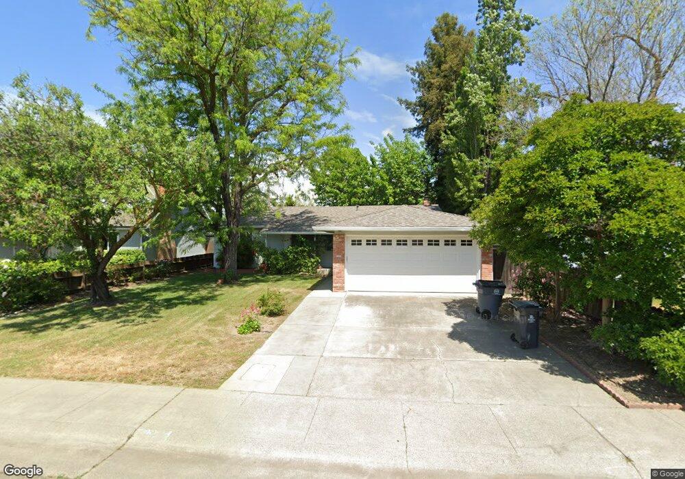
2421 Bates Dr Davis, CA 95618
East Davis NeighborhoodEstimated Value: $576,482 - $694,000
3
Beds
2
Baths
1,300
Sq Ft
$492/Sq Ft
Est. Value
About This Home
This home is located at 2421 Bates Dr, Davis, CA 95618 and is currently estimated at $639,121, approximately $491 per square foot. 2421 Bates Dr is a home located in Yolo County with nearby schools including Birch Lane Elementary School, Oliver Wendell Holmes Junior High School, and Davis Senior High School.
Ownership History
Date
Name
Owned For
Owner Type
Purchase Details
Closed on
Aug 21, 2000
Sold by
Boulet Robert D
Bought by
Wood Lynn S and Wood Valerie A
Current Estimated Value
Home Financials for this Owner
Home Financials are based on the most recent Mortgage that was taken out on this home.
Original Mortgage
$151,200
Outstanding Balance
$54,552
Interest Rate
8.15%
Estimated Equity
$584,569
Create a Home Valuation Report for This Property
The Home Valuation Report is an in-depth analysis detailing your home's value as well as a comparison with similar homes in the area
Home Values in the Area
Average Home Value in this Area
Purchase History
| Date | Buyer | Sale Price | Title Company |
|---|---|---|---|
| Wood Lynn S | $189,000 | Placer Title Company |
Source: Public Records
Mortgage History
| Date | Status | Borrower | Loan Amount |
|---|---|---|---|
| Open | Wood Lynn S | $151,200 | |
| Closed | Wood Lynn S | $28,300 |
Source: Public Records
Tax History
| Year | Tax Paid | Tax Assessment Tax Assessment Total Assessment is a certain percentage of the fair market value that is determined by local assessors to be the total taxable value of land and additions on the property. | Land | Improvement |
|---|---|---|---|---|
| 2025 | $4,545 | $284,767 | $97,932 | $186,835 |
| 2023 | $4,545 | $273,711 | $94,130 | $179,581 |
| 2022 | $4,340 | $268,345 | $92,285 | $176,060 |
| 2021 | $4,224 | $263,084 | $90,476 | $172,608 |
| 2020 | $4,150 | $260,388 | $89,549 | $170,839 |
| 2019 | $3,882 | $255,284 | $87,794 | $167,490 |
| 2018 | $3,634 | $250,279 | $86,073 | $164,206 |
| 2017 | $3,553 | $245,373 | $84,386 | $160,987 |
| 2016 | $3,410 | $240,563 | $82,732 | $157,831 |
| 2015 | $3,297 | $236,951 | $81,490 | $155,461 |
| 2014 | $3,297 | $232,310 | $79,894 | $152,416 |
Source: Public Records
Map
Nearby Homes
- 2505 Loyola Dr
- 2024 Manet Place
- 2033 Manet Place
- 2011 Regis Dr
- 1411 Madrone Ln
- 1107 Baylor Terrace
- 1108 Baylor Terrace
- 1001 Vanderbilt Terrace
- 1007 Vanderbilt Terrace
- 1013 Vanderbilt Terrace
- 1001 Ginkgo Cir
- 1007 Ginkgo Cir
- 1013 Ginkgo Cir
- 1049 Ginkgo Cir
- 1712 Fremont Ct Unit 4
- 2307 E 8th St
- 1730 Fremont Ct Unit 2
- 2343 Caravaggio Dr
- 1703 Donner Ave Unit 1
- 2385 Roualt St
Your Personal Tour Guide
Ask me questions while you tour the home.