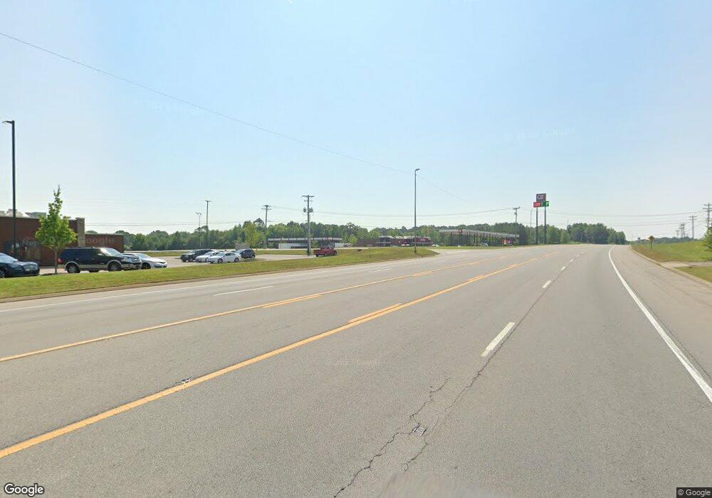
2421 Highway 46 S Dickson, TN 37055
Estimated Value: $1,755,291
--
Bed
1
Bath
9,570
Sq Ft
$183/Sq Ft
Est. Value
About This Home
This home is located at 2421 Highway 46 S, Dickson, TN 37055 and is currently estimated at $1,755,291, approximately $183 per square foot. 2421 Highway 46 S is a home located in Dickson County with nearby schools including Stuart Burns Elementary School, Burns Middle School, and Dickson County High School.
Ownership History
Date
Name
Owned For
Owner Type
Purchase Details
Closed on
Jul 15, 2024
Sold by
State Of Tennessee Department Of Transpo
Bought by
City Of Dickson
Current Estimated Value
Purchase Details
Closed on
Aug 21, 2014
Sold by
Welton Investments Llc
Bought by
Purdie Darn Good Llc
Purchase Details
Closed on
Oct 18, 1989
Bought by
Welton Investments
Purchase Details
Closed on
Nov 17, 1987
Bought by
Johnson Warren M
Purchase Details
Closed on
Aug 26, 1985
Bought by
Mcknight Ii John Thomas
Create a Home Valuation Report for This Property
The Home Valuation Report is an in-depth analysis detailing your home's value as well as a comparison with similar homes in the area
Home Values in the Area
Average Home Value in this Area
Purchase History
| Date | Buyer | Sale Price | Title Company |
|---|---|---|---|
| City Of Dickson | -- | None Listed On Document | |
| Purdie Darn Good Llc | $635,000 | -- | |
| Welton Investments | $250,000 | -- | |
| Johnson Warren M | $140,000 | -- | |
| Mcknight Ii John Thomas | -- | -- |
Source: Public Records
Tax History Compared to Growth
Tax History
| Year | Tax Paid | Tax Assessment Tax Assessment Total Assessment is a certain percentage of the fair market value that is determined by local assessors to be the total taxable value of land and additions on the property. | Land | Improvement |
|---|---|---|---|---|
| 2025 | -- | $821,840 | $0 | $0 |
| 2024 | $21,609 | $821,840 | $258,600 | $563,240 |
| 2023 | $21,609 | $691,840 | $271,600 | $420,240 |
| 2022 | $21,609 | $691,840 | $271,600 | $420,240 |
| 2021 | $21,609 | $691,840 | $271,600 | $420,240 |
| 2020 | $21,609 | $691,840 | $271,600 | $420,240 |
| 2019 | $21,609 | $691,840 | $271,600 | $420,240 |
| 2018 | $19,806 | $542,720 | $168,000 | $374,720 |
| 2017 | $19,806 | $542,720 | $168,000 | $374,720 |
| 2016 | $19,806 | $542,720 | $168,000 | $374,720 |
| 2015 | $21,052 | $542,720 | $168,000 | $374,720 |
| 2014 | $6,517 | $168,000 | $168,000 | $0 |
Source: Public Records
Map
Nearby Homes
- 118 Ravenwood Cir
- 118 Nails Creek Dr
- 105 Pheasant Hollow Rd
- 1064 Garton Rd
- 109 Robin Hood Rd
- 0 Garton Rd Unit RTC2901986
- 507 Whirlaway Ct
- 503 Whirlaway Ct
- 126 Robin Hood Rd
- 128 Robin Hood Rd
- 611 Whirlaway Dr
- 405 Barbaro Ct
- 208 Wyburn Place
- 614 Whirlaway Dr
- 634 Whirlaway Dr
- 454 Gum Branch Rd
- 0 Iron Hill Rd W
- 1210 Garton Rd
- 106 Hogin Rd
- 118 Spanish Ct
- 101 Ravenwood Cir
- 101 Ravenwood Cir Unit A
- 2540 Highway 46 S
- 2540 Highway 46 S
- 103 Ravenwood Cir
- 105 Ravenwood Cir
- 181 Ravenwood Cir
- 40 Ravenwood Cir
- 107 Ravenwood Cir
- 179 Ravenwood Cir
- 104 Ravenwood Cir
- 109 Ravenwood Cir
- 106 Ravenwood Cir
- 177 Ravenwood Cir
- 172 Ravenwood Cir
- 108 Ravenwood Cir
- 111 Ravenwood Cir
- 170 Ravenwood Cir
- 175 Ravenwood Cir
- 168 Ravenwood Cir
