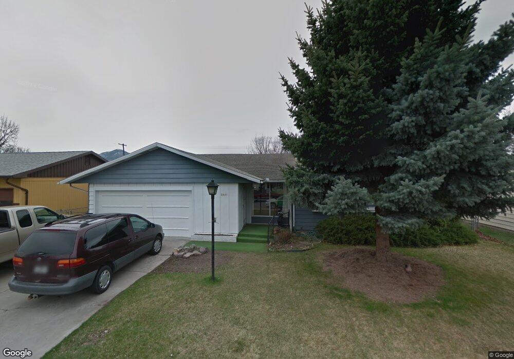
2421 S 4th St W Missoula, MT 59801
Franklin to the Fort NeighborhoodEstimated Value: $443,414 - $499,000
3
Beds
1
Bath
1,299
Sq Ft
$361/Sq Ft
Est. Value
About This Home
This home is located at 2421 S 4th St W, Missoula, MT 59801 and is currently estimated at $468,805, approximately $360 per square foot. 2421 S 4th St W is a home located in Missoula County with nearby schools including Franklin School, Porter Middle School, and Big Sky High School.
Ownership History
Date
Name
Owned For
Owner Type
Purchase Details
Closed on
Apr 12, 2008
Sold by
Heid John and Estate Of Georgianna P Heid Ho
Bought by
Doughty Richard N and Doughty Nancy R
Current Estimated Value
Home Financials for this Owner
Home Financials are based on the most recent Mortgage that was taken out on this home.
Original Mortgage
$158,400
Interest Rate
5.87%
Mortgage Type
Purchase Money Mortgage
Create a Home Valuation Report for This Property
The Home Valuation Report is an in-depth analysis detailing your home's value as well as a comparison with similar homes in the area
Home Values in the Area
Average Home Value in this Area
Purchase History
| Date | Buyer | Sale Price | Title Company |
|---|---|---|---|
| Doughty Richard N | -- | Stm |
Source: Public Records
Mortgage History
| Date | Status | Borrower | Loan Amount |
|---|---|---|---|
| Previous Owner | Doughty Richard N | $158,400 |
Source: Public Records
Tax History Compared to Growth
Tax History
| Year | Tax Paid | Tax Assessment Tax Assessment Total Assessment is a certain percentage of the fair market value that is determined by local assessors to be the total taxable value of land and additions on the property. | Land | Improvement |
|---|---|---|---|---|
| 2025 | $46 | $449,300 | $237,788 | $211,512 |
| 2024 | $46 | $350,800 | $173,150 | $177,650 |
| 2023 | $46 | $350,800 | $173,150 | $177,650 |
| 2022 | $66 | $278,400 | $0 | $0 |
| 2021 | $1,438 | $278,400 | $0 | $0 |
| 2020 | $996 | $232,800 | $0 | $0 |
| 2019 | $1,784 | $232,800 | $0 | $0 |
| 2018 | $1,570 | $200,600 | $0 | $0 |
| 2017 | $1,513 | $200,600 | $0 | $0 |
| 2016 | $537 | $196,600 | $0 | $0 |
| 2015 | $500 | $196,600 | $0 | $0 |
| 2014 | $1,168 | $104,304 | $0 | $0 |
Source: Public Records
Map
Nearby Homes
- 2406 S 5th St W
- 2511 and 2513 S 3rd St W
- 2511, 2513, 2515, & S 3rd St W
- 2515 and 2517 S 3rd St W
- 2337 S 3rd St W Unit 7
- 2337 S 3rd St W Unit 8
- 2514 Gleason St
- 303 S Grove St
- 2225 S 8th St W
- 2705 Emery Place
- 112 N Grove St
- 1311 Bridgecourt Way
- 2719 Juneau Ct
- 940 Kemp St Unit A
- 2816 S 3rd St W
- 2783 Renae Ct
- 2002 S 6th St W Unit 102
- 2712 Spurgin Rd
- 815 Gary Dr
- 1310 Linnea Ln
- 2425 S 4th St W
- 2417 S 4th St W
- 2413 S 4th St W
- 2422 S 5th St W
- 2429 S 4th St W
- 2418 S 5th St W
- 2428 S 4th St W
- 2420 S 4th St W
- 2424 S 4th St W
- 2426 S 5th St W
- 2434 S 4th St W
- 2432 S 5th St W Unit 5th & Reserve
- 2432 S 5th St W
- 2409 S 4th St W
- 2416 S 4th St W
- 2414 S 5th St W
- 2410 S 5th St W
- 2412 S 4th St W
- 2405 S 4th St W
- 2423 S 3rd St W