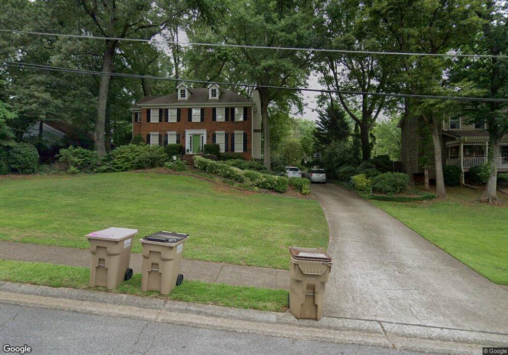
2421 Stockton Dr Marietta, GA 30066
Sandy Plains NeighborhoodEstimated Value: $506,695 - $597,000
3
Beds
3
Baths
2,624
Sq Ft
$210/Sq Ft
Est. Value
About This Home
This home is located at 2421 Stockton Dr, Marietta, GA 30066 and is currently estimated at $550,424, approximately $209 per square foot. 2421 Stockton Dr is a home located in Cobb County with nearby schools including Rocky Mount Elementary School, Mabry Middle School, and Lassiter High School.
Ownership History
Date
Name
Owned For
Owner Type
Purchase Details
Closed on
Mar 12, 2010
Sold by
Bryant Allison C
Bought by
Keil Jonathan W and Kiel Wesley
Current Estimated Value
Home Financials for this Owner
Home Financials are based on the most recent Mortgage that was taken out on this home.
Original Mortgage
$238,489
Outstanding Balance
$157,048
Interest Rate
4.93%
Mortgage Type
VA
Estimated Equity
$393,376
Purchase Details
Closed on
Nov 2, 1994
Sold by
Whiteside James S Susan
Bought by
Bryant John S Allison C
Home Financials for this Owner
Home Financials are based on the most recent Mortgage that was taken out on this home.
Original Mortgage
$99,000
Interest Rate
8.78%
Create a Home Valuation Report for This Property
The Home Valuation Report is an in-depth analysis detailing your home's value as well as a comparison with similar homes in the area
Home Values in the Area
Average Home Value in this Area
Purchase History
| Date | Buyer | Sale Price | Title Company |
|---|---|---|---|
| Keil Jonathan W | $232,900 | -- | |
| Bryant John S Allison C | $129,000 | -- |
Source: Public Records
Mortgage History
| Date | Status | Borrower | Loan Amount |
|---|---|---|---|
| Open | Keil Jonathan W | $238,489 | |
| Previous Owner | Bryant John S Allison C | $99,000 |
Source: Public Records
Tax History Compared to Growth
Tax History
| Year | Tax Paid | Tax Assessment Tax Assessment Total Assessment is a certain percentage of the fair market value that is determined by local assessors to be the total taxable value of land and additions on the property. | Land | Improvement |
|---|---|---|---|---|
| 2025 | $4,653 | $193,712 | $44,000 | $149,712 |
| 2024 | $4,187 | $172,064 | $44,000 | $128,064 |
| 2023 | $3,248 | $153,792 | $35,200 | $118,592 |
| 2022 | $3,141 | $122,804 | $26,400 | $96,404 |
| 2021 | $3,141 | $122,804 | $26,400 | $96,404 |
| 2020 | $3,056 | $118,888 | $26,400 | $92,488 |
| 2019 | $2,618 | $98,892 | $26,400 | $72,492 |
| 2018 | $2,618 | $98,892 | $26,400 | $72,492 |
| 2017 | $2,428 | $95,668 | $18,000 | $77,668 |
| 2016 | $2,301 | $89,856 | $16,000 | $73,856 |
| 2015 | $2,359 | $89,856 | $16,000 | $73,856 |
| 2014 | $2,136 | $80,712 | $0 | $0 |
Source: Public Records
Map
Nearby Homes
- 2603 Chadwick Rd
- 2610 Chadwick Rd
- 4499 Browning Ct NE
- 4464 Windsor Oaks Dr
- 2958 Forest Chase Terrace NE
- 2402 Woodbridge Dr
- 2842 Forest Chase Dr NE
- 4709 Trickum Rd NE
- 2855 Lamer Trace
- 2256 Turtle Club Dr NE Unit 1
- 4259 Arbor Club Dr
- 4589 Wigley Estates Rd
- 4050 Idlewilde Meadows Dr NE
- 3043 Sawyer Trace NE
- 4887 Raven Way NE
- 4509 N Landing Dr
- 2423 Turtle Crossing NE
- 2578 Middle Coray Cir
- 4056 Longford Dr NE
- 2423 Stockton Dr
- 0 Jims Rd NE
- 1 Jims Rd NE
- 3 Jims Rd NE
- 03 Jims Rd NE
- 01 Jims Rd NE
- 006 Jims Rd NE
- 003 Jims Rd NE
- 002 Jims Rd NE
- 0 Jims Rd NE Unit 7373362
- 0 Jims Rd NE Unit 8842959
- 0 Jims Rd NE Unit 8857107
- 0 Jims Rd NE Unit 8929308
- 0 Jims Rd NE Unit 7178879
- 2419 Stockton Dr
- 4373 Stockton Ct
- 2417 Stockton Dr
- 2416 Stockton Dr
- 2412 Stockton Dr
- 2427 Stockton Dr