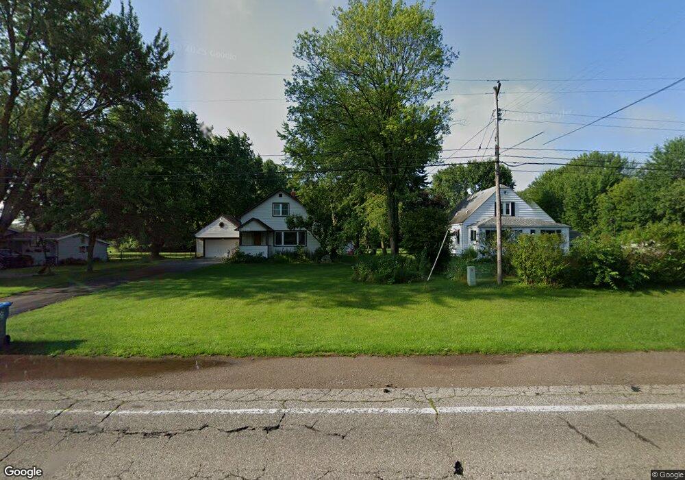
2421 W Midland Rd Midland, MI 48642
Estimated Value: $190,000 - $211,000
3
Beds
2
Baths
1,362
Sq Ft
$150/Sq Ft
Est. Value
About This Home
This home is located at 2421 W Midland Rd, Midland, MI 48642 and is currently estimated at $204,425, approximately $150 per square foot. 2421 W Midland Rd is a home located in Bay County with nearby schools including Auburn Elementary School, Western Middle School, and Bay City Western High School.
Ownership History
Date
Name
Owned For
Owner Type
Purchase Details
Closed on
Jan 29, 2025
Sold by
Grubaugh Andrew Henry
Bought by
Brown Paul Austin
Current Estimated Value
Purchase Details
Closed on
Oct 28, 2022
Sold by
Burr Sandra M
Bought by
Grubaugh Andrew
Home Financials for this Owner
Home Financials are based on the most recent Mortgage that was taken out on this home.
Original Mortgage
$175,956
Interest Rate
6.02%
Mortgage Type
VA
Purchase Details
Closed on
Jul 29, 1987
Sold by
Fisher Michael and Fisher Kathleen
Bought by
Burr Roye and Burr Sandra
Create a Home Valuation Report for This Property
The Home Valuation Report is an in-depth analysis detailing your home's value as well as a comparison with similar homes in the area
Home Values in the Area
Average Home Value in this Area
Purchase History
| Date | Buyer | Sale Price | Title Company |
|---|---|---|---|
| Brown Paul Austin | -- | None Listed On Document | |
| Grubaugh Andrew | $172,000 | Diversified National Title | |
| Burr Roye | $44,900 | -- |
Source: Public Records
Mortgage History
| Date | Status | Borrower | Loan Amount |
|---|---|---|---|
| Previous Owner | Grubaugh Andrew | $175,956 |
Source: Public Records
Tax History Compared to Growth
Tax History
| Year | Tax Paid | Tax Assessment Tax Assessment Total Assessment is a certain percentage of the fair market value that is determined by local assessors to be the total taxable value of land and additions on the property. | Land | Improvement |
|---|---|---|---|---|
| 2025 | $3,063 | $77,750 | $0 | $0 |
| 2024 | $1,559 | $75,050 | $0 | $0 |
| 2023 | $1,484 | $68,250 | $0 | $0 |
| 2022 | $2,257 | $61,850 | $0 | $0 |
| 2021 | $2,101 | $57,950 | $57,950 | $0 |
| 2020 | $1,956 | $57,200 | $57,200 | $0 |
| 2019 | $1,767 | $49,800 | $0 | $0 |
| 2018 | $1,685 | $46,250 | $0 | $0 |
| 2017 | $1,637 | $48,850 | $0 | $0 |
| 2016 | $1,642 | $53,000 | $0 | $53,000 |
| 2015 | -- | $53,000 | $0 | $53,000 |
| 2014 | -- | $53,000 | $0 | $53,000 |
Source: Public Records
Map
Nearby Homes
- 4802 Raymond Rd
- 4956 W Bis Rd
- 4988 Raymond Rd
- 0 W Midland Rd Unit 50189337
- 0 W Midland Rd Unit 50152278
- 2730 W Midland Rd
- Parcel 175 Joan Dr
- 2011 Prairie Point Dr
- 1954 W Midland Rd
- 1929 Carter Ridge Ct
- 0 Rockwell Dr
- 4621 Bay City Rd
- 4518 Paine Dr
- 1598 Dawn Marie Ct
- 4205 E Patrick Rd
- 4107 Hamilton Dr
- 1598 Fisherville Ct
- 1587 Fisherville Ct
- 4855 Wheat Ridge Ct
- 3630 James Savage Rd
- 2401 W Midland Rd
- 2427 W Midland Rd
- 2389 W Midland Rd
- 2428 W Midland Rd
- 2441 W Midland Rd
- 4765 Raymond Rd
- 2406 W Midland Rd
- 2420 W Midland Rd
- 4785 Raymond Rd
- 2402 W Midland Rd
- 2461 W Midland Rd
- 2448 W Midland Rd
- 4791 Raymond Rd
- 2458 W Midland Rd
- 2369 W Midland Rd
- 4770 Raymond Rd
- 2463 W Midland Rd
- 2462 W Midland Rd
- 2380 W Midland Rd
- 4780 Raymond Rd