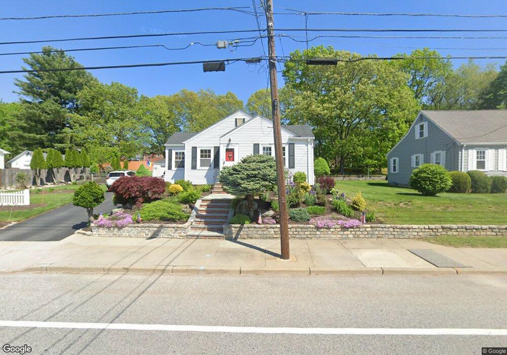
2426 Cranston St Cranston, RI 02920
Meshanticut NeighborhoodEstimated Value: $450,000 - $648,000
3
Beds
2
Baths
2,368
Sq Ft
$220/Sq Ft
Est. Value
About This Home
This home is located at 2426 Cranston St, Cranston, RI 02920 and is currently estimated at $520,302, approximately $219 per square foot. 2426 Cranston St is a home located in Providence County with nearby schools including Glen Hills School, Western Hills Middle School, and Cranston High School West.
Ownership History
Date
Name
Owned For
Owner Type
Purchase Details
Closed on
Nov 20, 1998
Sold by
Boucher Paul J and Boucher Marilyn
Bought by
Ferri Robert J and Ferri Denise
Current Estimated Value
Home Financials for this Owner
Home Financials are based on the most recent Mortgage that was taken out on this home.
Original Mortgage
$90,000
Interest Rate
6.49%
Create a Home Valuation Report for This Property
The Home Valuation Report is an in-depth analysis detailing your home's value as well as a comparison with similar homes in the area
Home Values in the Area
Average Home Value in this Area
Purchase History
| Date | Buyer | Sale Price | Title Company |
|---|---|---|---|
| Ferri Robert J | $128,000 | -- |
Source: Public Records
Mortgage History
| Date | Status | Borrower | Loan Amount |
|---|---|---|---|
| Open | Ferri Robert J | $159,000 | |
| Closed | Ferri Robert J | $77,850 | |
| Closed | Ferri Robert J | $90,000 |
Source: Public Records
Tax History Compared to Growth
Tax History
| Year | Tax Paid | Tax Assessment Tax Assessment Total Assessment is a certain percentage of the fair market value that is determined by local assessors to be the total taxable value of land and additions on the property. | Land | Improvement |
|---|---|---|---|---|
| 2025 | $4,970 | $358,100 | $104,700 | $253,400 |
| 2024 | $4,874 | $358,100 | $104,700 | $253,400 |
| 2023 | $4,787 | $253,300 | $72,200 | $181,100 |
| 2022 | $4,689 | $253,300 | $72,200 | $181,100 |
| 2021 | $4,559 | $253,300 | $72,200 | $181,100 |
| 2020 | $4,488 | $216,100 | $68,600 | $147,500 |
| 2019 | $4,488 | $216,100 | $68,600 | $147,500 |
| 2018 | $4,385 | $216,100 | $68,600 | $147,500 |
| 2017 | $4,040 | $176,100 | $50,600 | $125,500 |
| 2016 | $3,953 | $176,100 | $50,600 | $125,500 |
| 2015 | $3,953 | $176,100 | $50,600 | $125,500 |
| 2014 | $3,705 | $162,200 | $50,600 | $111,600 |
Source: Public Records
Map
Nearby Homes
- 7 Oak Tree Ln
- 189 Summit Dr
- 203 Dean Ridge Ct
- 29 Valley St
- 145 E Hill Dr
- 0 Wain St
- 45 Hamden Rd
- 51 E Bel Air Rd
- 269 Glen Hills Dr
- 275 Meshanticut Valley Pkwy
- 132 Hoffman Ave Unit 115
- 132 Hoffman Ave Unit 207
- 132 Hoffman Ave Unit 110
- 178 Highland St
- 143 Hoffman Ave Unit 109
- 143 Hoffman Ave Unit 206
- 180 Highland St
- 200 Hoffman Ave Unit 505
- 46 Lilyana Way
- 20 Manilla Ave