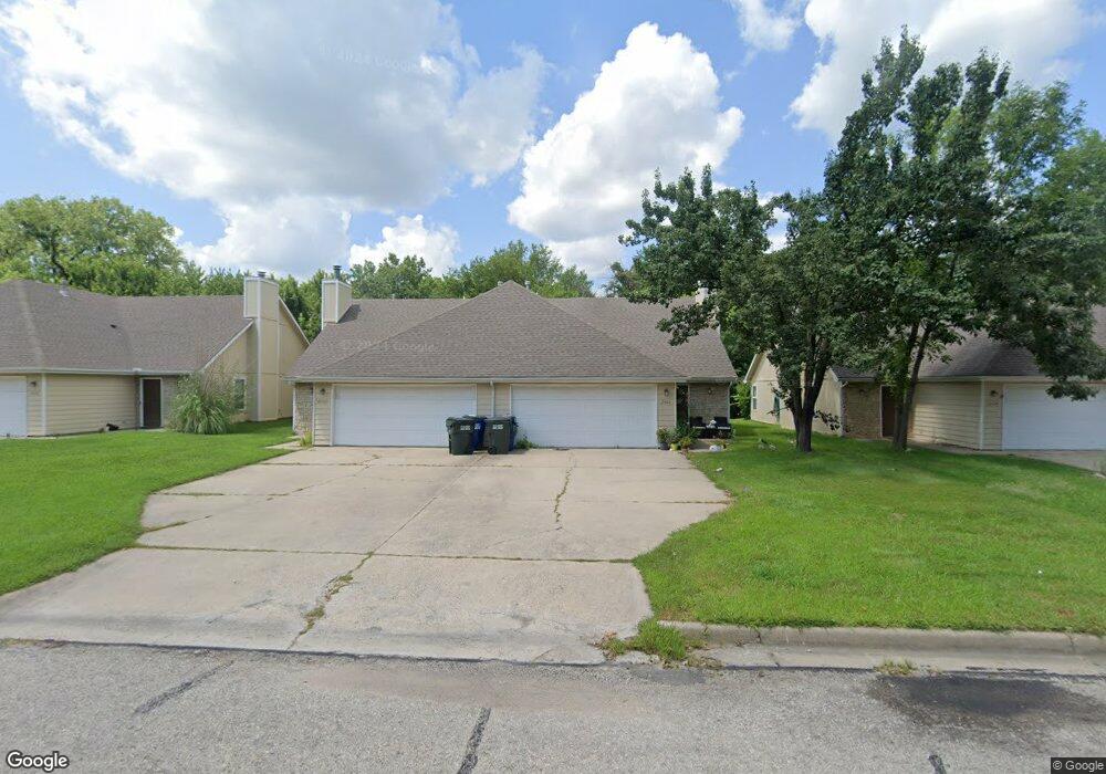
2428 Lancaster Dr Lawrence, KS 66049
Estimated Value: $337,000 - $430,000
6
Beds
4
Baths
1,550
Sq Ft
$257/Sq Ft
Est. Value
About This Home
This home is located at 2428 Lancaster Dr, Lawrence, KS 66049 and is currently estimated at $398,133, approximately $256 per square foot. 2428 Lancaster Dr is a home located in Douglas County with nearby schools including Deerfield Elementary School, West Middle School, and Lawrence Free State High School.
Ownership History
Date
Name
Owned For
Owner Type
Purchase Details
Closed on
Nov 8, 2022
Sold by
Gale W Bogard Family Trust
Bought by
Dandy Rentals Llc
Current Estimated Value
Home Financials for this Owner
Home Financials are based on the most recent Mortgage that was taken out on this home.
Original Mortgage
$2,672,260
Outstanding Balance
$2,478,725
Interest Rate
6.94%
Mortgage Type
Credit Line Revolving
Estimated Equity
-$2,080,592
Purchase Details
Closed on
Nov 24, 2003
Sold by
Bogard Gale W and Bogard Jill R
Bought by
Bogard Gale W and Gale W Bogard Revocable Trust
Create a Home Valuation Report for This Property
The Home Valuation Report is an in-depth analysis detailing your home's value as well as a comparison with similar homes in the area
Purchase History
| Date | Buyer | Sale Price | Title Company |
|---|---|---|---|
| Dandy Rentals Llc | -- | -- | |
| Bogard Gale W | -- | Commerce Title |
Source: Public Records
Mortgage History
| Date | Status | Borrower | Loan Amount |
|---|---|---|---|
| Open | Dandy Rentals Llc | $2,672,260 |
Source: Public Records
Tax History
| Year | Tax Paid | Tax Assessment Tax Assessment Total Assessment is a certain percentage of the fair market value that is determined by local assessors to be the total taxable value of land and additions on the property. | Land | Improvement |
|---|---|---|---|---|
| 2025 | $5,707 | $45,851 | $7,475 | $38,376 |
| 2024 | $5,434 | $43,700 | $7,475 | $36,225 |
| 2023 | $5,090 | $39,557 | $8,625 | $30,932 |
| 2022 | $4,655 | $35,961 | $6,325 | $29,636 |
| 2021 | $4,380 | $32,775 | $6,289 | $26,486 |
| 2020 | $4,233 | $31,843 | $6,289 | $25,554 |
| 2019 | $3,923 | $29,565 | $4,598 | $24,967 |
| 2018 | $3,864 | $28,914 | $4,598 | $24,316 |
| 2017 | $3,686 | $27,290 | $4,598 | $22,692 |
| 2016 | $3,494 | $27,025 | $4,598 | $22,427 |
| 2015 | -- | $27,025 | $4,598 | $22,427 |
| 2014 | -- | $24,852 | $4,598 | $20,254 |
Source: Public Records
Map
Nearby Homes
- 511 Lancaster Ct
- 2360 Haversham Dr
- 302 Providence Rd
- 255 N Michigan St Unit 11-60
- 515 McDonald Dr
- 3112 Sherwood Dr
- 121 Florida St
- 3220 Creekwood Dr
- 3129 Ranger Dr
- 110 Glenview Dr
- Lot 2 Peterson Rd
- 1521 W 2nd Terrace
- 1508 W 3rd St
- Lot 5 Weatherhill Cir
- 1809 W 4th St
- 1317 Sunchase Dr
- Lot 6 Weatherhill Cir
- 1300 Sunchase Dr
- Lot 1 Fall Creek Rd
- 333 Florida St
- 2424 Lancaster Dr
- 2432 Lancaster Dr
- 2420 Lancaster Dr
- 2515 Lancaster Dr
- 2436 Lancaster Dr
- 513 Lancaster Ct
- 2418 Lancaster Dr
- 508 Yorkshire Dr
- 2401 Stowe Dr
- 2405 Stowe Dr
- 2317 Stowe Dr
- 506 Yorkshire Dr
- 2409 Stowe Dr
- 513 Yorkshire Dr
- 509 Lancaster Ct
- 2313 Stowe Dr
- 2413 Stowe Dr
- 504 Yorkshire Dr
- 2412 Lancaster Dr
- 509 Yorkshire Dr