Studio
1
Bath
1,260
Sq Ft
12,197
Sq Ft
About This Home
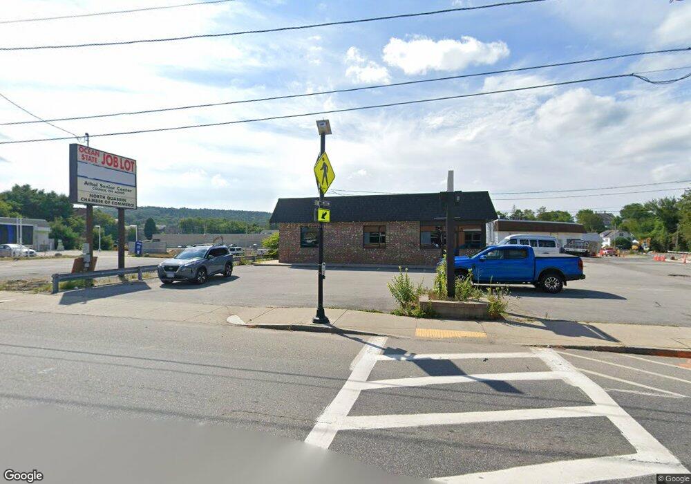
This home is located at 243 Main St, Athol, MA 01331. 243 Main St is a home located in Worcester County with nearby schools including Athol High School.
Ownership History
Date
Name
Owned For
Owner Type
Purchase Details
Closed on
Oct 31, 2025
Sold by
Ssz Re Hld Llc and Cbr Funding Llc
Bought by
Cbr Funding Llc
Purchase Details
Closed on
Jul 26, 2024
Sold by
Ssz Re Hld Llc and Cbr Funding Llc
Bought by
Cbr Funding Llc
Purchase Details
Closed on
Sep 18, 2018
Sold by
243 Main Street Rt and Rosewood Hldg Co Llc T
Bought by
Ssz Real Estate Hldg L
Home Financials for this Owner
Home Financials are based on the most recent Mortgage that was taken out on this home.
Original Mortgage
$22,500
Interest Rate
4.6%
Mortgage Type
New Conventional
Purchase Details
Closed on
Feb 20, 2018
Sold by
Peterborough Oil Co Ll
Bought by
243 Main Street Rt and Rosewood Hldg Co Llc T
Purchase Details
Closed on
Jan 23, 2009
Sold by
Peterborough Oil Co In
Bought by
Peterborough Oil Co Ll
Create a Home Valuation Report for This Property
The Home Valuation Report is an in-depth analysis detailing your home's value as well as a comparison with similar homes in the area
Home Values in the Area
Average Home Value in this Area
Purchase History
| Date | Buyer | Sale Price | Title Company |
|---|---|---|---|
| Cbr Funding Llc | $1,463,637 | -- | |
| Cbr Funding Llc | $1,463,637 | None Available | |
| Cbr Funding Llc | $1,463,637 | None Available | |
| Ssz Real Estate Hldg L | $50,000 | -- | |
| 243 Main Street Rt | $5,000 | -- | |
| Peterborough Oil Co Ll | -- | -- | |
| Peterborough Oil Co Ll | -- | -- | |
| Peterborough Oil Co Ll | -- | -- |
Source: Public Records
Mortgage History
| Date | Status | Borrower | Loan Amount |
|---|---|---|---|
| Previous Owner | Ssz Real Estate Hldg L | $22,500 |
Source: Public Records
Tax History
| Year | Tax Paid | Tax Assessment Tax Assessment Total Assessment is a certain percentage of the fair market value that is determined by local assessors to be the total taxable value of land and additions on the property. | Land | Improvement |
|---|---|---|---|---|
| 2025 | $3,091 | $243,200 | $100,200 | $143,000 |
| 2024 | $2,914 | $227,100 | $95,400 | $131,700 |
| 2023 | $2,819 | $200,800 | $69,100 | $131,700 |
| 2022 | $3,223 | $200,800 | $69,100 | $131,700 |
| 2021 | $2,483 | $140,600 | $44,300 | $96,300 |
| 2020 | $2,416 | $140,600 | $44,300 | $96,300 |
| 2019 | $2,115 | $121,200 | $44,300 | $76,900 |
| 2018 | $3,513 | $179,500 | $39,900 | $139,600 |
| 2017 | $3,662 | $179,500 | $39,900 | $139,600 |
| 2016 | $3,657 | $184,400 | $39,100 | $145,300 |
| 2015 | $3,509 | $184,400 | $39,100 | $145,300 |
| 2014 | $3,398 | $184,400 | $39,100 | $145,300 |
Source: Public Records
Map
Nearby Homes
- 31 Freedom St
- 73 Fern St
- 67 Fern St
- 182 Harrison St
- 55 South St
- 70 Mount Pleasant St
- 5 Lombard Ave
- 160 Cottage St
- 45 Pike St
- 42 Prospect St
- 225 Wallingford Ave
- 133 Harvard Ave
- 474 Chestnut St
- 77 Wheeler St
- 23 Mount Pleasant St
- 330 N Orange Rd
- 22 Allen St
- 221 Harvard Ave
- 124 Highland Ave
- 128 Allen St
- 32 Freedom St
- 32 Freedom St Unit B
- 150 Emory St
- 222 - 224 Main St
- 224 Main St Unit 5
- 224 Main St Unit 9
- 224 Main St Unit 2
- 222 Main St Unit 9
- 222 Main St Unit 2
- 222 Main St
- 222 Main St Unit 3
- 210 Main St
- 208 Main St
- 208 Main St Unit 1R
- 208 Main St Unit 4
- 280 Main St
- 290 Main St
- 181 Main St
- 181 Main St Unit 2
- 181 Main St Unit 1
Your Personal Tour Guide
Ask me questions while you tour the home.