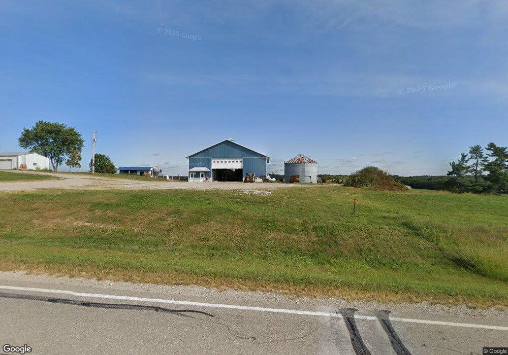
24308 215th St Bloomfield, IA 52537
Estimated Value: $166,333
--
Bed
1
Bath
1,200
Sq Ft
$139/Sq Ft
Est. Value
About This Home
This home is located at 24308 215th St, Bloomfield, IA 52537 and is currently priced at $166,333, approximately $138 per square foot. 24308 215th St is a home located in Davis County with nearby schools including Davis County Elementary School, Davis County Middle School, and Davis County Community High School.
Ownership History
Date
Name
Owned For
Owner Type
Purchase Details
Closed on
Aug 26, 2022
Sold by
Mae Martin and Mae Ella
Bought by
Hoover Mervin Lee
Current Estimated Value
Home Financials for this Owner
Home Financials are based on the most recent Mortgage that was taken out on this home.
Original Mortgage
$160,000
Outstanding Balance
$153,210
Interest Rate
5.54%
Mortgage Type
New Conventional
Purchase Details
Closed on
Jul 26, 2022
Sold by
Morton Luann E
Bought by
Martin Jason and Martin Ella Mae
Home Financials for this Owner
Home Financials are based on the most recent Mortgage that was taken out on this home.
Original Mortgage
$160,000
Outstanding Balance
$153,210
Interest Rate
5.54%
Mortgage Type
New Conventional
Create a Home Valuation Report for This Property
The Home Valuation Report is an in-depth analysis detailing your home's value as well as a comparison with similar homes in the area
Home Values in the Area
Average Home Value in this Area
Purchase History
| Date | Buyer | Sale Price | Title Company |
|---|---|---|---|
| Hoover Mervin Lee | $160,000 | -- | |
| Martin Jason | $212,000 | Lynch Rick L | |
| Valley Vista Farm Llc | $1,010,000 | None Listed On Document |
Source: Public Records
Mortgage History
| Date | Status | Borrower | Loan Amount |
|---|---|---|---|
| Open | Hoover Mervin Lee | $160,000 |
Source: Public Records
Tax History Compared to Growth
Tax History
| Year | Tax Paid | Tax Assessment Tax Assessment Total Assessment is a certain percentage of the fair market value that is determined by local assessors to be the total taxable value of land and additions on the property. | Land | Improvement |
|---|---|---|---|---|
| 2022 | $6,164 | $0 | $0 | $0 |
| 2021 | $6,164 | $253,970 | $161,320 | $92,650 |
| 2020 | $5,892 | $258,780 | $172,800 | $85,980 |
| 2019 | $5,522 | $258,780 | $172,800 | $85,980 |
| 2018 | $5,440 | $293,290 | $209,360 | $83,930 |
| 2017 | $4,384 | $293,290 | $209,360 | $83,930 |
| 2016 | $4,150 | $255,010 | $0 | $0 |
| 2015 | $4,150 | $277,940 | $0 | $0 |
| 2014 | $4,130 | $277,470 | $0 | $0 |
Source: Public Records
Map
Nearby Homes
- 40 A Quail Ave
- 1106 E Franklin St
- 707 E Franklin St
- 406 E Chestnut St
- 702 S Washington St
- 0000 Highway 63
- 507 N Washington St
- 201 Gregory Ln
- 416 N Madison St
- 293rd Street
- 502 S West St
- 408 W Chestnut St
- 30 Raven Ave
- 152 A Iowa 2
- 108 N Bloomfield Ave
- 404 Elm St
- 402 Goode St
- 601 W Chestnut St
- 30 A Raven Ave
- 603 W Walnut St