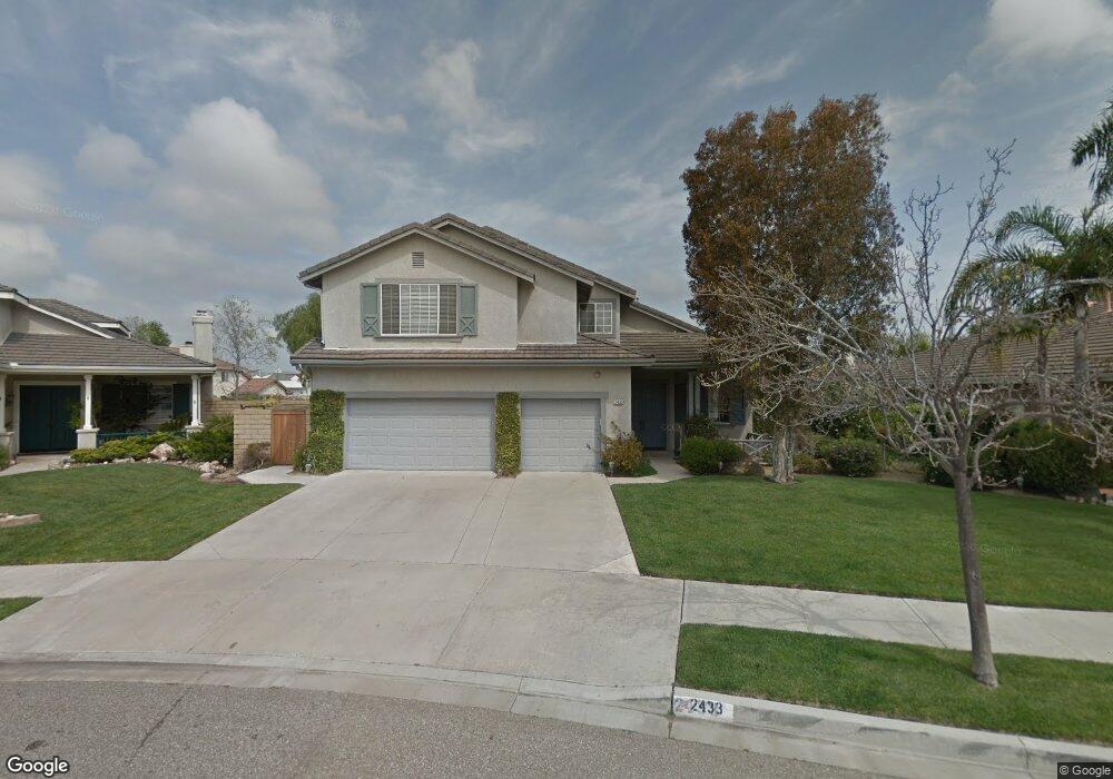
2433 Kentia St Oxnard, CA 93036
South Bank NeighborhoodEstimated Value: $1,012,000 - $1,243,000
6
Beds
4
Baths
3,430
Sq Ft
$336/Sq Ft
Est. Value
About This Home
This home is located at 2433 Kentia St, Oxnard, CA 93036 and is currently estimated at $1,153,645, approximately $336 per square foot. 2433 Kentia St is a home located in Ventura County with nearby schools including Rio Del Norte Elementary School, Rio Vista Middle School, and Rio Mesa High School.
Ownership History
Date
Name
Owned For
Owner Type
Purchase Details
Closed on
Sep 10, 1996
Sold by
Vineyards & Oxnard L P
Bought by
Powers Larry M and Powers Linda D
Current Estimated Value
Home Financials for this Owner
Home Financials are based on the most recent Mortgage that was taken out on this home.
Original Mortgage
$207,000
Outstanding Balance
$17,258
Interest Rate
7.87%
Estimated Equity
$1,136,387
Create a Home Valuation Report for This Property
The Home Valuation Report is an in-depth analysis detailing your home's value as well as a comparison with similar homes in the area
Home Values in the Area
Average Home Value in this Area
Purchase History
| Date | Buyer | Sale Price | Title Company |
|---|---|---|---|
| Powers Larry M | $299,500 | Continental Lawyers Title Co |
Source: Public Records
Mortgage History
| Date | Status | Borrower | Loan Amount |
|---|---|---|---|
| Open | Powers Larry M | $207,000 | |
| Closed | Powers Larry M | $23,000 |
Source: Public Records
Tax History
| Year | Tax Paid | Tax Assessment Tax Assessment Total Assessment is a certain percentage of the fair market value that is determined by local assessors to be the total taxable value of land and additions on the property. | Land | Improvement |
|---|---|---|---|---|
| 2025 | $5,798 | $490,919 | $195,099 | $295,820 |
| 2024 | $5,798 | $481,294 | $191,274 | $290,020 |
| 2023 | $5,657 | $471,857 | $187,523 | $284,334 |
| 2022 | $5,477 | $462,605 | $183,846 | $278,759 |
| 2021 | $5,510 | $453,535 | $180,241 | $273,294 |
| 2020 | $5,624 | $448,887 | $178,394 | $270,493 |
| 2019 | $5,400 | $440,087 | $174,897 | $265,190 |
| 2018 | $5,220 | $431,459 | $171,468 | $259,991 |
| 2017 | $5,083 | $423,000 | $168,106 | $254,894 |
| 2016 | $4,872 | $414,707 | $164,810 | $249,897 |
| 2015 | $4,946 | $408,481 | $162,336 | $246,145 |
| 2014 | $4,735 | $400,481 | $159,157 | $241,324 |
Source: Public Records
Map
Nearby Homes
- 905 Kumquat Place
- 901 Indigo Place
- 1340 Kumquat Place
- 2485 Elderberry Dr Unit 43
- 643 Holly Ave
- 628 Holly Ave
- 582 Holly Ave
- 1616 Range Rd
- 1625 Range Rd
- 550 Holly Ave
- 527 Holly Ave
- 2475 Apple Ln Unit 129
- 1361 Gardenia St
- 2408 Apple Ln Unit 154
- 2870 Wagon Wheel Rd Unit 203
- 2820 Wagon Wheel Rd Unit 302
- 2820 Wagon Wheel Rd Unit 403
- 2800 Wagon Wheel Rd Unit 304
- 2810 Wagon Wheel Rd Unit 304
- 2151 Olga St
- 2437 Kentia St
- 2429 Kentia St
- 1040 Quail Run Way
- 1050 Quail Run Way
- 1030 Quail Run Way
- 2425 Kentia St
- 2434 Kentia St
- 1060 Quail Run Way
- 2438 Kentia St
- 2421 Kentia St
- 2454 Kentia St
- 2450 Kentia St
- 2442 Kentia St
- 2420 Larkhaven Ln
- 2422 Larkhaven Ln
- 2458 Kentia St
- 2418 Larkhaven Ln
- 2446 Kentia St
- 2424 Larkhaven Ln
- 1051 Orion Way
Your Personal Tour Guide
Ask me questions while you tour the home.