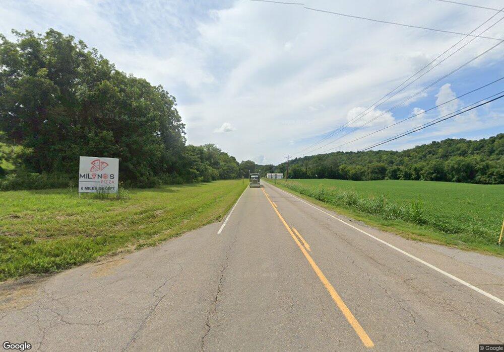
2434 E Highway 25 70 Dandridge, TN 37725
Estimated Value: $184,000 - $241,000
--
Bed
1
Bath
948
Sq Ft
$230/Sq Ft
Est. Value
About This Home
This home is located at 2434 E Highway 25 70, Dandridge, TN 37725 and is currently estimated at $218,476, approximately $230 per square foot. 2434 E Highway 25 70 is a home located in Jefferson County with nearby schools including Calvary Baptist Tabernacle School.
Ownership History
Date
Name
Owned For
Owner Type
Purchase Details
Closed on
Nov 9, 2005
Bought by
Poe Paul B and Poe Anna Carolyn
Current Estimated Value
Purchase Details
Closed on
Mar 25, 1991
Bought by
Poe Paul B and Anna Carolyn
Purchase Details
Closed on
Feb 15, 1986
Bought by
Poe Paul B and Anna Carolyn Tripp
Purchase Details
Closed on
Feb 1, 1986
Bought by
Poe Leonard Eugene and Poe Elizabeth A
Purchase Details
Closed on
Nov 27, 1978
Purchase Details
Closed on
Feb 19, 1963
Purchase Details
Closed on
Dec 8, 1958
Create a Home Valuation Report for This Property
The Home Valuation Report is an in-depth analysis detailing your home's value as well as a comparison with similar homes in the area
Home Values in the Area
Average Home Value in this Area
Purchase History
| Date | Buyer | Sale Price | Title Company |
|---|---|---|---|
| Poe Paul B | -- | -- | |
| Poe Paul B | -- | -- | |
| Poe Paul B | -- | -- | |
| Poe Leonard Eugene | -- | -- | |
| -- | -- | -- | |
| -- | -- | -- | |
| -- | -- | -- |
Source: Public Records
Tax History Compared to Growth
Tax History
| Year | Tax Paid | Tax Assessment Tax Assessment Total Assessment is a certain percentage of the fair market value that is determined by local assessors to be the total taxable value of land and additions on the property. | Land | Improvement |
|---|---|---|---|---|
| 2025 | $434 | $37,950 | $7,225 | $30,725 |
| 2023 | $434 | $18,875 | $0 | $0 |
| 2022 | $413 | $18,875 | $4,000 | $14,875 |
| 2021 | $413 | $18,875 | $4,000 | $14,875 |
| 2020 | $0 | $18,875 | $4,000 | $14,875 |
| 2019 | $413 | $18,875 | $4,000 | $14,875 |
| 2018 | $400 | $17,025 | $3,350 | $13,675 |
| 2017 | $400 | $17,025 | $3,350 | $13,675 |
| 2016 | $400 | $17,025 | $3,350 | $13,675 |
| 2015 | $400 | $17,025 | $3,350 | $13,675 |
| 2014 | $400 | $17,025 | $3,350 | $13,675 |
Source: Public Records
Map
Nearby Homes
- 2940 Beecarter Rd
- 780 Waterside Dr
- 0 Sugar Cove Way
- 1430 Swannsylvania Rd
- Lot 35 Quiet Cove Way
- 0 Indian Creek Rd Unit 1299218
- 1698 Old Newport Hwy
- 1420 Swannsylvania Rd
- Lot 69 Deerwood Dr
- Lot 5 Deerwood Dr
- 1410 Swannsylvania Rd
- 843 Clear Sail Way
- 630 Douglas Ridge Dr
- 2943 Flicker Ln
- 1410 Clear Point Trail
- Lot 72 Clear Point Trail
- Lot 74 Clear Point Trail
- 74 Clear Point Trail
- 1668 Deerwood Rd
- 1009 Old Newport Hwy
- 2426 E Highway 25 70
- 2435 E Highway 25 70
- 2435 E Highway 25-70
- 2430 E Highway 25 70
- 2439 E Highway 25 70
- 2443 E Highway 25 70
- 2431 E Highway 25 70
- 2457 E Highway 25 70
- 2417 E Highway 25 70
- 0 E Tn 25 70 Unit 702376
- 1334 Old Newport Hwy
- 1334 Old Newport Hwy
- 1317 Old Newport Hwy
- 2466 E Highway 25 70
- 2851 Beecarter Rd
- 2843 Beecarter Rd
- 2863 Beecarter Rd
- 2825 Beecarter Rd
- 2852 Beecarter Rd
- 2880 Beecarter Rd
