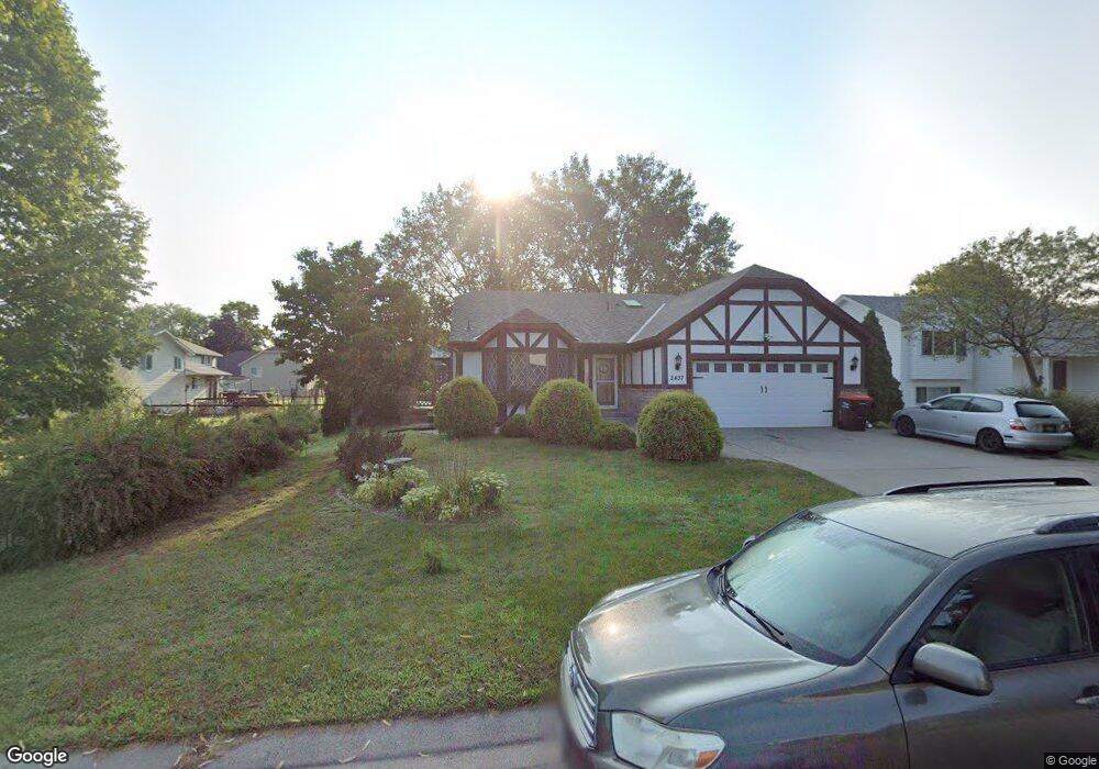
2437 Henslow Ave N Saint Paul, MN 55128
Estimated Value: $408,000 - $425,000
3
Beds
2
Baths
2,105
Sq Ft
$197/Sq Ft
Est. Value
About This Home
This home is located at 2437 Henslow Ave N, Saint Paul, MN 55128 and is currently estimated at $413,640, approximately $196 per square foot. 2437 Henslow Ave N is a home located in Washington County with nearby schools including Eagle Point Elementary School, Skyview Community Middle School, and Tartan Senior High School.
Ownership History
Date
Name
Owned For
Owner Type
Purchase Details
Closed on
Nov 18, 2020
Sold by
Powell Wayne R and Powell Carlotta C
Bought by
Le Tuan and Her Kabao
Current Estimated Value
Home Financials for this Owner
Home Financials are based on the most recent Mortgage that was taken out on this home.
Original Mortgage
$315,000
Outstanding Balance
$280,305
Interest Rate
2.8%
Mortgage Type
New Conventional
Estimated Equity
$133,335
Create a Home Valuation Report for This Property
The Home Valuation Report is an in-depth analysis detailing your home's value as well as a comparison with similar homes in the area
Home Values in the Area
Average Home Value in this Area
Purchase History
| Date | Buyer | Sale Price | Title Company |
|---|---|---|---|
| Le Tuan | $350,000 | Land Title Inc | |
| Her Kabao Kabao | $350,000 | -- |
Source: Public Records
Mortgage History
| Date | Status | Borrower | Loan Amount |
|---|---|---|---|
| Open | Le Tuan | $315,000 | |
| Closed | Her Kabao Kabao | $315,000 |
Source: Public Records
Tax History Compared to Growth
Tax History
| Year | Tax Paid | Tax Assessment Tax Assessment Total Assessment is a certain percentage of the fair market value that is determined by local assessors to be the total taxable value of land and additions on the property. | Land | Improvement |
|---|---|---|---|---|
| 2024 | $4,232 | $369,800 | $115,000 | $254,800 |
| 2023 | $4,232 | $393,600 | $135,000 | $258,600 |
| 2022 | $3,676 | $368,300 | $133,400 | $234,900 |
| 2021 | $3,578 | $308,400 | $112,500 | $195,900 |
| 2020 | $3,584 | $271,700 | $100,000 | $171,700 |
| 2019 | $3,332 | $266,700 | $95,000 | $171,700 |
| 2018 | $3,012 | $247,200 | $90,000 | $157,200 |
| 2017 | $3,134 | $222,400 | $75,000 | $147,400 |
| 2016 | $2,932 | $219,800 | $75,000 | $144,800 |
| 2015 | $2,956 | $194,600 | $64,000 | $130,600 |
| 2013 | -- | $175,600 | $62,800 | $112,800 |
Source: Public Records
Map
Nearby Homes
- 7492 Upper 24th St N
- 7602 26th St N
- 2404 Helena Ave N
- 2678 Henslow Ave N
- 2569 Hayward Ave N
- 2610 Hydram Ave N
- 2232 Homestead Ave N
- 2839 Henslow Ave N
- 2181 Helena Rd N
- 7697 Upper 20th St N
- 7085 24th St N
- 7571 Stillwater Way N
- 1979 Helena Ct N
- 7650 Stillwater Way N
- 1920 Heath Ave N
- 2298 Inwood Ave N
- 7866 31st St N
- 7018 19th St N Unit 1
- 1754 Helena Rd N
- 2033 Gresham Ave N
- 2427 Henslow Ave N
- 7621 Upper 24th St N
- 7635 Upper 24th St N
- 7645 Upper 24th St N
- 2419 Henslow Ave N
- 2440 Henslow Ct N
- 7597 Upper 24th St N
- 7655 Upper 24th St N
- 2398 Helmo Ave N
- 7583 Upper 24th St N
- 2432 Henslow Ct N
- 2400 2400 Henslow Ct N
- 2400 Henslow Ct N
- 7622 Upper 24th St N
- 2400 2400 Henslow Avenue Ct N
- 2400 Henslow Ave N
- 7636 Upper 24th St N
- 7665 Upper 24th St N
- 2399 Henslow Ave N
- 7571 Upper 24th St N