245 Arapahoe Creek Dr Florissant, CO 80816
Estimated Value: $647,284 - $710,000
2
Beds
4
Baths
2,106
Sq Ft
$320/Sq Ft
Est. Value
About This Home
This home is located at 245 Arapahoe Creek Dr, Florissant, CO 80816 and is currently estimated at $673,571, approximately $319 per square foot. 245 Arapahoe Creek Dr is a home located in Teller County with nearby schools including Woodland Park Junior/Senior High School and Merit Academy.
Ownership History
Date
Name
Owned For
Owner Type
Purchase Details
Closed on
Jul 25, 2003
Sold by
Hill Dewane D and Depreste Patti M
Bought by
Hill Dewane D and Hill Patti M Depreste
Current Estimated Value
Home Financials for this Owner
Home Financials are based on the most recent Mortgage that was taken out on this home.
Original Mortgage
$188,000
Interest Rate
5.19%
Mortgage Type
Purchase Money Mortgage
Purchase Details
Closed on
May 13, 1998
Bought by
Hill Dewayne D and Depreste Patti M
Purchase Details
Closed on
Sep 8, 1995
Bought by
Hill Dewayne D and Depreste Patti M
Purchase Details
Closed on
Aug 30, 1995
Bought by
Hill Dewayne D and Depreste Patti M
Create a Home Valuation Report for This Property
The Home Valuation Report is an in-depth analysis detailing your home's value as well as a comparison with similar homes in the area
Home Values in the Area
Average Home Value in this Area
Purchase History
| Date | Buyer | Sale Price | Title Company |
|---|---|---|---|
| Hill Dewane D | -- | Commonwealth Land Title | |
| Hill Dewayne D | -- | -- | |
| Hill Dewayne D | $16,000 | -- | |
| Hill Dewayne D | -- | -- |
Source: Public Records
Mortgage History
| Date | Status | Borrower | Loan Amount |
|---|---|---|---|
| Closed | Hill Dewane D | $188,000 |
Source: Public Records
Tax History Compared to Growth
Tax History
| Year | Tax Paid | Tax Assessment Tax Assessment Total Assessment is a certain percentage of the fair market value that is determined by local assessors to be the total taxable value of land and additions on the property. | Land | Improvement |
|---|---|---|---|---|
| 2024 | $2,018 | $34,780 | $4,370 | $30,410 |
| 2023 | $2,018 | $34,780 | $4,370 | $30,410 |
| 2022 | $1,513 | $26,700 | $2,620 | $24,080 |
| 2021 | $1,564 | $27,480 | $2,700 | $24,780 |
| 2020 | $1,293 | $23,270 | $2,570 | $20,700 |
| 2019 | $1,278 | $23,270 | $0 | $0 |
| 2018 | $1,094 | $19,320 | $0 | $0 |
| 2017 | $1,096 | $19,320 | $0 | $0 |
| 2016 | $1,050 | $18,450 | $0 | $0 |
| 2015 | $1,179 | $18,450 | $0 | $0 |
| 2014 | $769 | $11,880 | $0 | $0 |
Source: Public Records
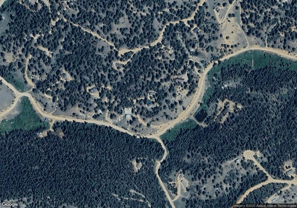
Map
Nearby Homes
- 233 Rabbil Creek Dr
- 120 Poncha Creek Trail
- 117 Rabbil Creek Trail
- 534 Poncha Creek Trail
- 464 E Bison Creek Trail
- 451 Chipeta Creek Trail
- 1066 Rangeview Rd
- 983 Rangeview Rd
- 738 Rangeview Rd
- 223 Shavano Creek Trail
- 826 Chipeta Creek Trail
- 4269 County Road 51
- 860 Spring Creek Dr
- 980 Spring Creek Dr
- 1164 Arapahoe Creek Trail
- 360 Tejon Creek Trail
- 410 Rangeview Rd
- 1570 Pathfinder Rd
- 4261 County Road 51
- 1011 W Bison Creek Trail
- 387 Arapahoe Creek Dr
- 668 Blackhawk Creek Dr
- 770 Blackhawk Creek Dr
- 143 Arapahoe Dr
- 276 Rabbil Creek Dr
- 814 Arapahoe Creek Dr
- 275 Rabbil Creek Dr
- 234 Rabbil Creek Trail
- 570 Blackhawk Creek Dr
- 71 Arapahoe Creek Dr
- 390 Arapahoe Creek Trail
- 462 Arapahoe Creek Trail
- 603 Blackhawk Creek Dr
- 76 Greenhorn Trail
- 497 Arapahoe Creek Dr
- 19 Arapahoe Creek Dr
- 36 Arapahoe Creek Dr
- 192 Rabbil Creek Dr
- 771 Blackhawk Creek Dr
- 789 Blackhawk Creek Dr