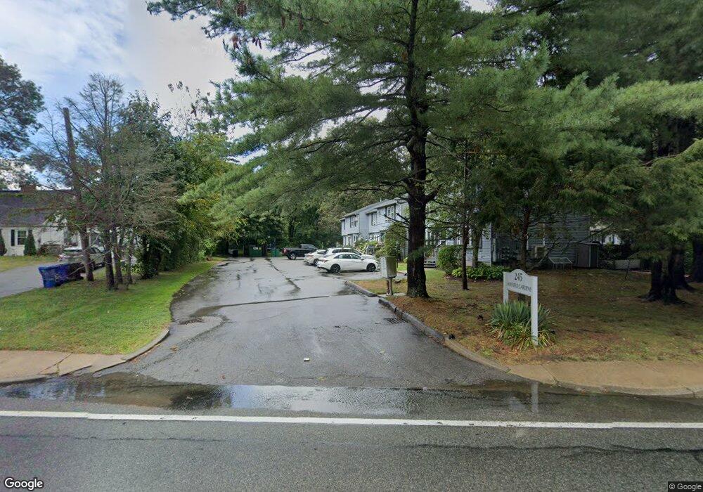
245 Mayfield Ave Unit 1 Cranston, RI 02920
Mayfield NeighborhoodEstimated Value: $271,000 - $375,000
2
Beds
2
Baths
1,231
Sq Ft
$256/Sq Ft
Est. Value
About This Home
This home is located at 245 Mayfield Ave Unit 1, Cranston, RI 02920 and is currently estimated at $315,515, approximately $256 per square foot. 245 Mayfield Ave Unit 1 is a home located in Providence County with nearby schools including Garden City School, Western Hills Middle School, and Cranston High School West.
Ownership History
Date
Name
Owned For
Owner Type
Purchase Details
Closed on
Feb 9, 2018
Sold by
Richard Frances A
Bought by
Wild Kristen M
Current Estimated Value
Home Financials for this Owner
Home Financials are based on the most recent Mortgage that was taken out on this home.
Original Mortgage
$162,355
Outstanding Balance
$137,183
Interest Rate
3.99%
Mortgage Type
Purchase Money Mortgage
Estimated Equity
$178,332
Purchase Details
Closed on
Feb 6, 2014
Sold by
Principe Edward and Principe Anna
Bought by
Richard Frances A
Purchase Details
Closed on
Dec 1, 2011
Sold by
Rossi Jeanne S
Bought by
Princie Edward and Principe Nna
Purchase Details
Closed on
Oct 29, 1998
Sold by
Mayfield Gardens Llc
Bought by
Mezzini Jeanne S
Create a Home Valuation Report for This Property
The Home Valuation Report is an in-depth analysis detailing your home's value as well as a comparison with similar homes in the area
Home Values in the Area
Average Home Value in this Area
Purchase History
| Date | Buyer | Sale Price | Title Company |
|---|---|---|---|
| Wild Kristen M | $170,900 | -- | |
| Richard Frances A | -- | -- | |
| Princie Edward | $125,000 | -- | |
| Mezzini Jeanne S | $76,000 | -- |
Source: Public Records
Mortgage History
| Date | Status | Borrower | Loan Amount |
|---|---|---|---|
| Open | Mezzini Jeanne S | $162,355 | |
| Closed | Mezzini Jeanne S | $4,250 | |
| Closed | Mezzini Jeanne S | $7,500 | |
| Previous Owner | Mezzini Jeanne S | $113,000 |
Source: Public Records
Tax History Compared to Growth
Tax History
| Year | Tax Paid | Tax Assessment Tax Assessment Total Assessment is a certain percentage of the fair market value that is determined by local assessors to be the total taxable value of land and additions on the property. | Land | Improvement |
|---|---|---|---|---|
| 2025 | $3,290 | $237,000 | $0 | $237,000 |
| 2024 | $3,226 | $237,000 | $0 | $237,000 |
| 2023 | $3,355 | $177,500 | $0 | $177,500 |
| 2022 | $3,286 | $177,500 | $0 | $177,500 |
| 2021 | $3,195 | $177,500 | $0 | $177,500 |
| 2020 | $2,864 | $137,900 | $0 | $137,900 |
| 2019 | $2,864 | $137,900 | $0 | $137,900 |
| 2018 | $2,798 | $137,900 | $0 | $137,900 |
| 2017 | $3,326 | $145,000 | $0 | $145,000 |
| 2016 | $3,255 | $145,000 | $0 | $145,000 |
| 2015 | $3,255 | $145,000 | $0 | $145,000 |
| 2014 | $3,232 | $141,500 | $0 | $141,500 |
Source: Public Records
Map
Nearby Homes
- 5 High St
- 14 W Natick Rd
- 91 Ridgeway Rd
- 10 East St Unit 316
- 10 East St Unit 205
- 20 Manor Rd
- 11 Chaple Dr
- 37 Carriage Rd
- 115 Edman St
- 11 Crossland Rd
- 123 Edman St
- 20 Manilla Ave
- 76 Cliffside Dr
- 124 Longview Dr
- 46 Hornbeam Dr
- 52 Kalmer Rd
- 61 Crossland Rd
- 92 Turner Ave
- 269 Glen Hills Dr
- 81 W Pontiac St
- 245 Mayfield Ave Unit 6
- 245 Mayfield Ave Unit 5
- 245 Mayfield Ave Unit 3
- 245 Mayfield Ave Unit 4
- 245 Mayfield Ave Unit 2
- 245 Mayfield Ave
- 101 Woodhaven Ct
- 102 Woodhaven Ct
- 103 Woodhaven Ct
- 251 Mayfield Ave
- 105 Woodhaven Ct
- 106 Woodhaven Ct
- 104 Woodhaven Ct
- 306 Woodhaven Ct
- 35 Cedarwood Dr
- 305 Woodhaven Ct
- 9 Cedarwood Dr
- 3 Cedarwood Dr
- 31 Cedarwood Dr
- 206 Woodhaven Ct