24534 SW Airport Ave Philomath, OR 97370
Estimated Value: $519,000 - $639,843
3
Beds
1
Bath
918
Sq Ft
$647/Sq Ft
Est. Value
About This Home
This home is located at 24534 SW Airport Ave, Philomath, OR 97370 and is currently estimated at $593,711, approximately $646 per square foot. 24534 SW Airport Ave is a home located in Benton County with nearby schools including Adams Elementary School, Linus Pauling Middle School, and Corvallis High School.
Ownership History
Date
Name
Owned For
Owner Type
Purchase Details
Closed on
Apr 14, 2011
Sold by
Cirac Rose P
Bought by
Mckinley Blake Ryan
Current Estimated Value
Home Financials for this Owner
Home Financials are based on the most recent Mortgage that was taken out on this home.
Original Mortgage
$232,460
Outstanding Balance
$171,968
Interest Rate
4.83%
Mortgage Type
Unknown
Estimated Equity
$421,743
Create a Home Valuation Report for This Property
The Home Valuation Report is an in-depth analysis detailing your home's value as well as a comparison with similar homes in the area
Home Values in the Area
Average Home Value in this Area
Purchase History
| Date | Buyer | Sale Price | Title Company |
|---|---|---|---|
| Mckinley Blake Ryan | $100,000 | Fidelity Natl Title Co Of Or |
Source: Public Records
Mortgage History
| Date | Status | Borrower | Loan Amount |
|---|---|---|---|
| Open | Mckinley Blake Ryan | $232,460 |
Source: Public Records
Tax History Compared to Growth
Tax History
| Year | Tax Paid | Tax Assessment Tax Assessment Total Assessment is a certain percentage of the fair market value that is determined by local assessors to be the total taxable value of land and additions on the property. | Land | Improvement |
|---|---|---|---|---|
| 2025 | $2,561 | $171,852 | -- | -- |
| 2024 | $2,561 | $166,963 | -- | -- |
| 2023 | $2,416 | $162,216 | $0 | $0 |
| 2022 | $2,350 | $157,609 | $0 | $0 |
| 2021 | $2,276 | $153,136 | $0 | $0 |
| 2020 | $2,265 | $148,792 | $0 | $0 |
| 2019 | $2,082 | $144,575 | $0 | $0 |
| 2018 | $2,096 | $140,481 | $0 | $0 |
| 2017 | $1,920 | $136,506 | $0 | $0 |
| 2016 | $1,821 | $132,647 | $0 | $0 |
| 2015 | $1,804 | $128,900 | $0 | $0 |
| 2014 | $1,794 | $125,261 | $0 | $0 |
| 2012 | -- | $118,302 | $0 | $0 |
Source: Public Records
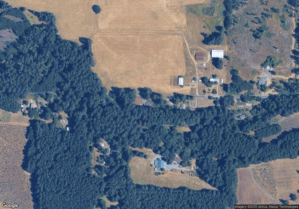
Map
Nearby Homes
- 31970 Fern Rd
- 23835 Greasy Creek Rd
- 31722 Mcloughlin Dr
- 23515 Clark Dr
- 23508 Lewis Dr
- 31636 Lewis Place
- 760 S 16th St
- 1502 Timothy St
- 803 Main St
- 235 S 18th St
- 345 N 11th (351) St
- 609 Coastal View Dr (Lan
- 1717 Main St
- 223 N 14th St
- 538 Starlight Way
- 990 Pippa Ln
- 609 Coastal View (Land Next To) Dr
- 135 S 21st St
- 791 Quail Glenn Dr
- 801 Quail Glenn Dr
- 24500 SW Airport Ave
- 24568 SW Airport Ave
- 24602 SW Airport Ave
- 24480 SW Airport Ave
- 24450 SW Airport Ave
- 24608 SW Airport Ave
- 24444 SW Airport Ave
- 24631 SW Airport Ave
- 24422 SW Airport Ave
- 24665 SW Airport Ave
- 24669 SW Airport Ave
- 24681 SW Airport Ave
- 24663 Ervin Rd
- 24758 SW Airport Ave
- 24547 Ervin Rd
- 31487 Braden Ln
- 31441 Braden Ln
- 24577 Ervin Rd
- 24579 Ervin Rd
- 24778 SW Airport Ave