246 Mile High Rd Weldon, CA 93283
Estimated Value: $96,000 - $229,027
Studio
--
Bath
420
Sq Ft
$400/Sq Ft
Est. Value
About This Home
This home is located at 246 Mile High Rd, Weldon, CA 93283 and is currently estimated at $168,007, approximately $400 per square foot. 246 Mile High Rd is a home with nearby schools including South Fork Elementary School and Kern Valley High School.
Ownership History
Date
Name
Owned For
Owner Type
Purchase Details
Closed on
Sep 10, 2019
Sold by
Sparks Ronald L
Bought by
Schott Robert W
Current Estimated Value
Purchase Details
Closed on
Aug 21, 2001
Sold by
Allin Philip C and Allin Phyllis
Bought by
Sparks Ronald L
Home Financials for this Owner
Home Financials are based on the most recent Mortgage that was taken out on this home.
Original Mortgage
$10,000
Interest Rate
7.09%
Purchase Details
Closed on
Jun 9, 1995
Sold by
Allin Philip C
Bought by
Allin Philip C and Allin Phyllis
Create a Home Valuation Report for This Property
The Home Valuation Report is an in-depth analysis detailing your home's value as well as a comparison with similar homes in the area
Home Values in the Area
Average Home Value in this Area
Purchase History
| Date | Buyer | Sale Price | Title Company |
|---|---|---|---|
| Schott Robert W | $2,000 | None Available | |
| Sparks Ronald L | $15,000 | Fidelity National Title Co | |
| Allin Philip C | -- | -- | |
| Allin Philip C | -- | -- | |
| Allin Philip C | -- | -- |
Source: Public Records
Mortgage History
| Date | Status | Borrower | Loan Amount |
|---|---|---|---|
| Previous Owner | Sparks Ronald L | $10,000 |
Source: Public Records
Tax History
| Year | Tax Paid | Tax Assessment Tax Assessment Total Assessment is a certain percentage of the fair market value that is determined by local assessors to be the total taxable value of land and additions on the property. | Land | Improvement |
|---|---|---|---|---|
| 2025 | $429 | $20,776 | $7,654 | $13,122 |
| 2024 | $414 | $20,369 | $7,504 | $12,865 |
| 2023 | $414 | $19,970 | $7,357 | $12,613 |
| 2022 | $401 | $19,579 | $7,213 | $12,366 |
| 2021 | $343 | $19,196 | $7,072 | $12,124 |
| 2020 | $343 | $19,000 | $7,000 | $12,000 |
| 2019 | $329 | $20,244 | $6,746 | $13,498 |
| 2018 | $325 | $19,460 | $6,485 | $12,975 |
| 2017 | $323 | $19,079 | $6,358 | $12,721 |
| 2016 | $309 | $18,706 | $6,234 | $12,472 |
| 2015 | $307 | $18,426 | $6,141 | $12,285 |
| 2014 | $303 | $18,066 | $6,021 | $12,045 |
Source: Public Records
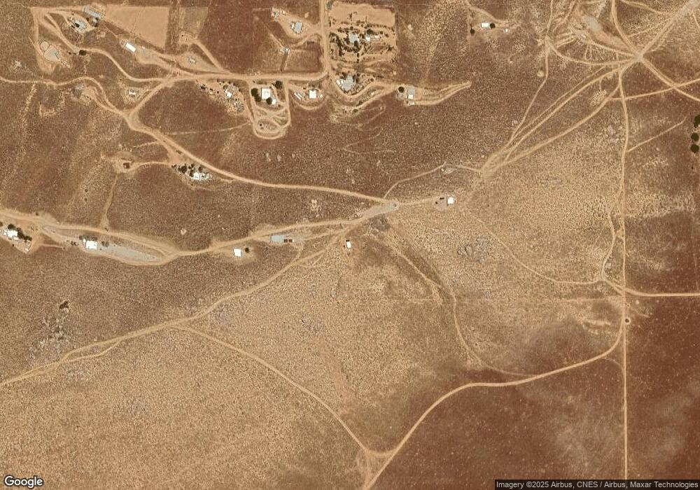
Map
Nearby Homes
- 15310023 Kelso Valley Rd
- 5309 Marjorie St
- 0 Vail Lane & Orsburn Ln
- 6200 Poplar St
- 20530 Highway 178
- 14225 Polaris St
- 4700 Cimarron Dr
- 11610 Longhorn Ln
- 1790 Kelso Creek Rd
- 18220 California 178
- 0 Paul's Place Dr
- 5470 Isabel Rd
- 5509 Isabel Dr
- 5445 Bella Vista Dr
- 5651 Hooper Rd
- 11023 Marcia St
- 10916 Rankin Ave
- 426-390-16 Rankin Ave
- 426-390-20 Rankin Ave
- 10821 Rankin Ave
- 215 Weldon Rd
- 212 Mile High Rd
- 120 S Kelso Valley Rd
- 206 Mile Hi Rd
- 218 Mile High Rd
- 701 S Kelso Valley Rd
- 254 Weldon Rd
- 257 Weldon Rd
- 5839 Kelso Valley Rd
- 14031 Tingle Ave
- 5299 Hanning St
- 13908 Adams Dr
- 14017 Deaton Ct
- 13909 Adams Dr
- 14021 Deaton Ct
- 5501 Hanning St
- 5301 Robin St
- 5200 Robin St
- 5601 Hanning St
- 5405 Robin St
Your Personal Tour Guide
Ask me questions while you tour the home.