2465 Smoot Rd Morrison, TN 37357
Estimated Value: $95,628 - $248,000
Studio
--
Bath
--
Sq Ft
5.25
Acres
About This Home
This home is located at 2465 Smoot Rd, Morrison, TN 37357 and is currently estimated at $193,543. 2465 Smoot Rd is a home located in Warren County with nearby schools including Morrison Elementary School and Warren County High School.
Ownership History
Date
Name
Owned For
Owner Type
Purchase Details
Closed on
Jan 18, 2019
Sold by
Blake Jerud
Bought by
Long Bobby
Current Estimated Value
Purchase Details
Closed on
Apr 23, 2013
Sold by
Blake Josh
Bought by
Blake Jerud and Blake Essie
Purchase Details
Closed on
Mar 19, 2012
Sold by
Simpson David Mason
Bought by
Blake Josh and Blake Larissa
Purchase Details
Closed on
Jun 29, 2009
Sold by
Simpson David Mason
Bought by
Bush Bruce
Purchase Details
Closed on
Apr 11, 2007
Bought by
Simpson David Mason
Create a Home Valuation Report for This Property
The Home Valuation Report is an in-depth analysis detailing your home's value as well as a comparison with similar homes in the area
Purchase History
| Date | Buyer | Sale Price | Title Company |
|---|---|---|---|
| Long Bobby | $35,000 | -- | |
| Blake Jerud | $22,000 | -- | |
| Blake Josh | $25,000 | -- | |
| Bush Bruce | $22,000 | -- | |
| Simpson David Mason | $80,000 | -- |
Source: Public Records
Tax History Compared to Growth
Tax History
| Year | Tax Paid | Tax Assessment Tax Assessment Total Assessment is a certain percentage of the fair market value that is determined by local assessors to be the total taxable value of land and additions on the property. | Land | Improvement |
|---|---|---|---|---|
| 2025 | $211 | $20,275 | $0 | $0 |
| 2024 | $211 | $10,700 | $6,975 | $3,725 |
| 2023 | $211 | $10,700 | $6,975 | $3,725 |
| 2022 | $211 | $10,700 | $6,975 | $3,725 |
| 2021 | $211 | $10,700 | $6,975 | $3,725 |
| 2020 | $176 | $10,700 | $6,975 | $3,725 |
| 2019 | $201 | $8,950 | $5,950 | $3,000 |
| 2018 | $176 | $8,950 | $5,950 | $3,000 |
| 2017 | $176 | $8,950 | $5,950 | $3,000 |
| 2016 | $176 | $8,950 | $5,950 | $3,000 |
| 2015 | $179 | $8,950 | $5,950 | $3,000 |
| 2014 | $109 | $8,950 | $5,950 | $3,000 |
| 2013 | $109 | $5,445 | $0 | $0 |
Source: Public Records
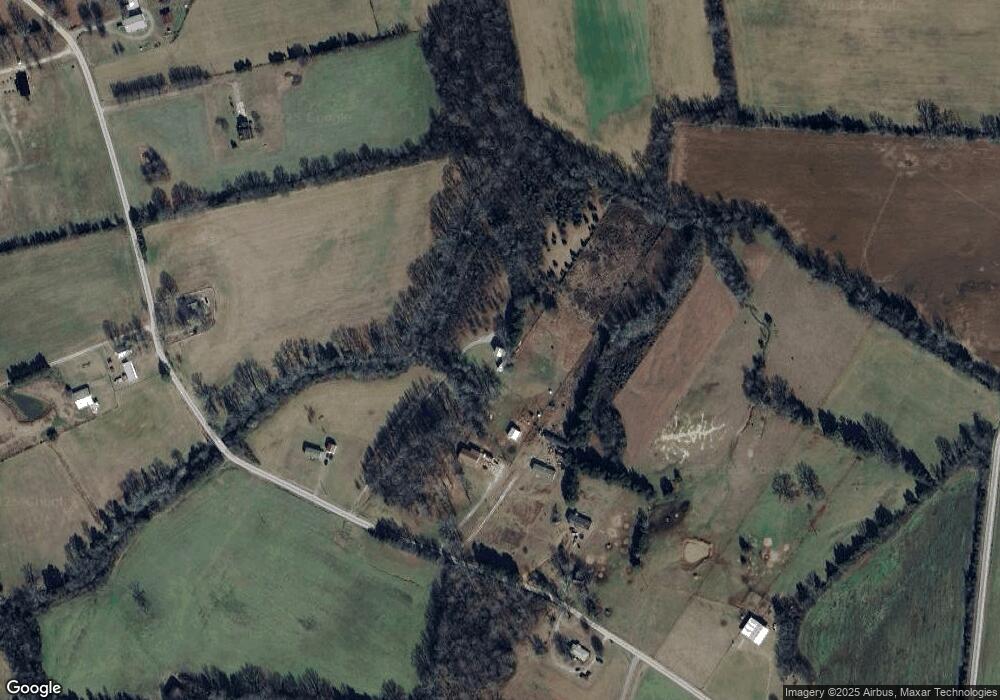
Map
Nearby Homes
- 0 Caney Branch Rd
- 10910 Shelbyville Rd
- 11250 Shelbyville Rd
- 7817 Shelbyville Rd
- 1051 Herman Lance Rd
- 0 Greenleaf Ln
- 511 N Main St
- 318 Autumn Rd
- 59 Spring Rd
- 120 Boyd St
- 440 W Maple St
- 39 Henegar Rd
- 0 Mcafee Rd
- 431 S Fair St
- 0 Old Wells Rd
- 7324 Jacksboro Rd
- 0 Finger Bluff Rd
- 205 Lake Villa Cir
- 0 Goforth Rd
- 5071 Shelbyville Rd
- 2525 Smoot Rd
- 2445 Smoot Rd
- 2551 Smoot Rd
- 2287 Smoot Rd
- 2630 Smoot Rd
- 2191 Smoot Rd
- 2773 Smoot Rd
- 2758 Smoot Rd
- 2040 Smoot Rd
- 1462 Caney Branch Rd
- 1385 Caney Branch Rd
- 1432 Caney Branch Rd
- 1831 Caney Branch Rd
- 1378 Caney Branch Rd
- 1239 Caney Branch Rd
- 40 Carl Hulett Rd
- 402 Carl Hulett Rd
- 1726 Smoot Rd
- 0 Smoot Rd
- 197 Matthew Trail