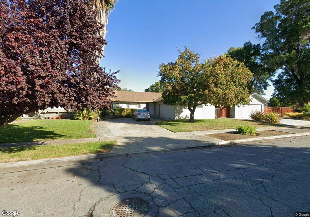
2465 Stokes St San Jose, CA 95128
Fruitdale NeighborhoodEstimated Value: $1,413,000 - $1,510,000
3
Beds
2
Baths
1,178
Sq Ft
$1,255/Sq Ft
Est. Value
About This Home
This home is located at 2465 Stokes St, San Jose, CA 95128 and is currently estimated at $1,478,488, approximately $1,255 per square foot. 2465 Stokes St is a home located in Santa Clara County with nearby schools including Del Mar High School, Blackford Elementary, and Sherman Oaks Elementary School.
Ownership History
Date
Name
Owned For
Owner Type
Purchase Details
Closed on
Mar 28, 2013
Sold by
Parrella Carol J
Bought by
Wolf Calvin J and Parrella Carol J
Current Estimated Value
Purchase Details
Closed on
Oct 1, 2001
Sold by
Janello John and Parrella Carol J
Bought by
Parrella Carol J and Janello John
Home Financials for this Owner
Home Financials are based on the most recent Mortgage that was taken out on this home.
Original Mortgage
$125,750
Interest Rate
6.9%
Create a Home Valuation Report for This Property
The Home Valuation Report is an in-depth analysis detailing your home's value as well as a comparison with similar homes in the area
Home Values in the Area
Average Home Value in this Area
Purchase History
| Date | Buyer | Sale Price | Title Company |
|---|---|---|---|
| Wolf Calvin J | -- | None Available | |
| Parrella Carol J | -- | Fidelity Natl Title Co Bosco |
Source: Public Records
Mortgage History
| Date | Status | Borrower | Loan Amount |
|---|---|---|---|
| Closed | Parrella Carol J | $125,750 |
Source: Public Records
Tax History
| Year | Tax Paid | Tax Assessment Tax Assessment Total Assessment is a certain percentage of the fair market value that is determined by local assessors to be the total taxable value of land and additions on the property. | Land | Improvement |
|---|---|---|---|---|
| 2025 | $5,748 | $353,199 | $260,035 | $93,164 |
| 2024 | $5,748 | $346,275 | $254,937 | $91,338 |
| 2023 | $5,612 | $339,487 | $249,939 | $89,548 |
| 2022 | $5,604 | $332,832 | $245,039 | $87,793 |
| 2021 | $5,457 | $326,307 | $240,235 | $86,072 |
| 2020 | $5,286 | $322,962 | $237,772 | $85,190 |
| 2019 | $5,197 | $316,630 | $233,110 | $83,520 |
| 2018 | $5,054 | $310,423 | $228,540 | $81,883 |
| 2017 | $4,984 | $304,337 | $224,059 | $80,278 |
| 2016 | $4,715 | $298,370 | $219,666 | $78,704 |
| 2015 | $4,646 | $293,889 | $216,367 | $77,522 |
| 2014 | $4,109 | $288,133 | $212,129 | $76,004 |
Source: Public Records
Map
Nearby Homes
- 919 Ravenscourt Ave
- 1177 Whitehall Ave
- 2530 Huerto Ct
- 2570 Downing Ave
- 1109 Empey Way
- 102 Quail Hollow Dr Unit 102
- 1149 S Daniel Way
- 1023 Delna Manor Ln
- 1454 Merry Ln
- 2949 Driftwood Dr
- 1362 Keenan Way
- 1117 Greenbriar Ave
- 1237 Castlemont Ave
- 1481 Pompey Dr
- 1195 Yarwood Ct
- 1757 De Marietta Ave
- 1759 Stokes St
- 1940 Huxley Ct Unit 399
- 350 N 1st St Unit 3
- 912 Campisi Way Unit 417
Your Personal Tour Guide
Ask me questions while you tour the home.