247 Frenn Ave Red Wing, MN 55066
Estimated Value: $592,000 - $1,241,387
3
Beds
2
Baths
3,624
Sq Ft
$238/Sq Ft
Est. Value
About This Home
This home is located at 247 Frenn Ave, Red Wing, MN 55066 and is currently estimated at $862,796, approximately $238 per square foot. 247 Frenn Ave is a home with nearby schools including Sunnyside Elementary School, Burnside Elementary School, and Twin Bluff Middle School.
Ownership History
Date
Name
Owned For
Owner Type
Purchase Details
Closed on
Jul 11, 2022
Sold by
Hansmeier Gordon and Hansmeier Janet
Bought by
Janet L Hansmeier Revocable Trust
Current Estimated Value
Purchase Details
Closed on
Aug 6, 2021
Sold by
Gadient Brothers Properties Llc
Bought by
Hansmeier Gordon and Hansmeier Janet
Home Financials for this Owner
Home Financials are based on the most recent Mortgage that was taken out on this home.
Original Mortgage
$548,000
Interest Rate
3%
Mortgage Type
New Conventional
Create a Home Valuation Report for This Property
The Home Valuation Report is an in-depth analysis detailing your home's value as well as a comparison with similar homes in the area
Home Values in the Area
Average Home Value in this Area
Purchase History
| Date | Buyer | Sale Price | Title Company |
|---|---|---|---|
| Janet L Hansmeier Revocable Trust | $3,000 | None Listed On Document | |
| Hansmeier Gordon | $1,109,415 | Heritage Title | |
| Hansmeier Gordon Gordon | $1,109,400 | -- |
Source: Public Records
Mortgage History
| Date | Status | Borrower | Loan Amount |
|---|---|---|---|
| Previous Owner | Hansmeier Gordon | $548,000 | |
| Closed | Hansmeier Gordon Gordon | $548,000 |
Source: Public Records
Tax History Compared to Growth
Tax History
| Year | Tax Paid | Tax Assessment Tax Assessment Total Assessment is a certain percentage of the fair market value that is determined by local assessors to be the total taxable value of land and additions on the property. | Land | Improvement |
|---|---|---|---|---|
| 2025 | $13,078 | $922,800 | $180,500 | $742,300 |
| 2024 | -- | $905,800 | $209,000 | $696,800 |
| 2023 | $12,548 | $888,200 | $206,500 | $681,700 |
| 2022 | $2,846 | $870,200 | $193,600 | $676,600 |
| 2021 | $1,930 | $211,500 | $182,200 | $29,300 |
Source: Public Records
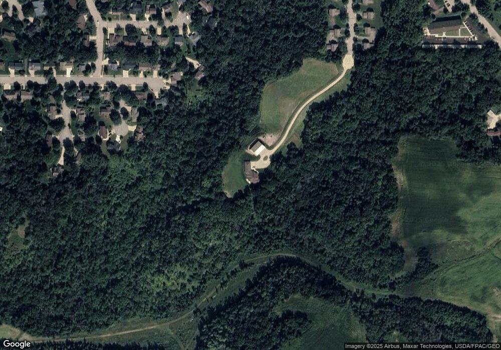
Map
Nearby Homes
- 2617 Malmquist Ave
- 2351 Hallquist Ave
- 434 Fridell Crescent
- 2543 Sunny Meadow Ln
- 769 Pioneer Rd
- 639 Hi Park Ave
- 732 Hi Park Ave
- 676 Hi Park Ave
- 672 Hi Park Ave
- 1940 Cherry St
- 611 Cherrywood Ct
- 2345 S Oak Dr
- 1822 Bohmbach Dr
- 1903 Lenore Ln
- 1927 Twin Bluff Rd
- 1825 Twin Bluff Rd
- 1846 Twin Bluff Rd
- 1838 Spruce Dr
- 1606 Reichert Ave
- 1224 Tee Up Ln
- 2361 Sunny Meadow Ln
- 2361 Sunny Meadow Ln
- 2360 Sunny Meadow Ln
- 2368 Sunny Meadow Ln
- 2357 Sunny Meadow Ln
- 2342 Clover Ln
- 2365 Sunny Meadow Ln
- 2651 White Tail Ridge
- 2659 White Tail Ridge
- 2352 Clover Ln
- 2330 Clover Ln
- 2378 Sunny Meadow Ln
- 2373 Sunny Meadow Ln
- 2362 Clover Ln
- 2337 Clover Ln
- 2372 Clover Ln
- 2383 Sunny Meadow Ln
- 2669 White Tail Ridge
- 277 Frenn Ave
- 279 Frenn Ave