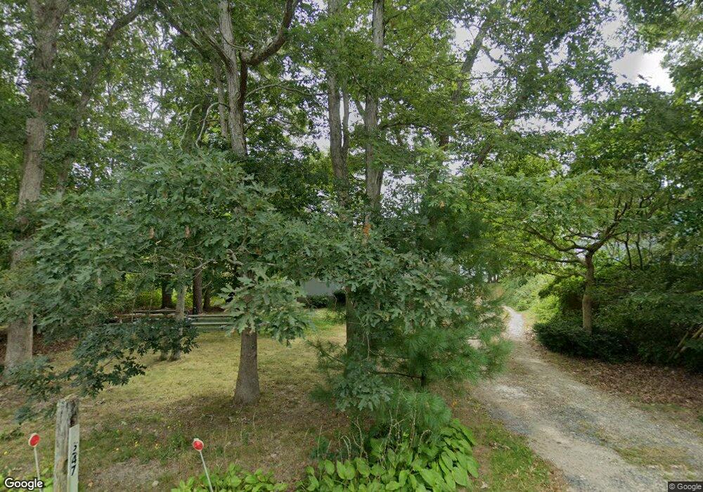
247 Hooppole Rd Mashpee, MA 02649
Estimated Value: $617,000 - $925,000
3
Beds
1
Bath
988
Sq Ft
$809/Sq Ft
Est. Value
About This Home
This home is located at 247 Hooppole Rd, Mashpee, MA 02649 and is currently estimated at $799,390, approximately $809 per square foot. 247 Hooppole Rd is a home located in Barnstable County with nearby schools including Kenneth C. Coombs School, Quashnet School, and Mashpee Middle School.
Ownership History
Date
Name
Owned For
Owner Type
Purchase Details
Closed on
Jan 15, 2021
Sold by
Mcgrath Ross and Mcgrath Steven
Bought by
Wilson Daryle
Current Estimated Value
Purchase Details
Closed on
Jan 14, 2021
Sold by
Mcgrath-Wilson Daryle J
Bought by
Mcgrath Wilson Ft
Purchase Details
Closed on
Nov 2, 2012
Sold by
Odonnell Francis
Bought by
Mcgrath Ross
Purchase Details
Closed on
Jan 29, 2010
Sold by
Cullity Nancy and Trites Elaine
Bought by
Wilson Daryle and Mcgrath Ross
Purchase Details
Closed on
Sep 11, 2008
Sold by
Mcgrath Mashpee T and Wilson Daryle
Bought by
Wilson Daryle and Elliot Diane
Create a Home Valuation Report for This Property
The Home Valuation Report is an in-depth analysis detailing your home's value as well as a comparison with similar homes in the area
Purchase History
| Date | Buyer | Sale Price | Title Company |
|---|---|---|---|
| Wilson Daryle | $262,500 | None Available | |
| Mcgrath Wilson Ft | -- | None Available | |
| Mcgrath Ross | $25,000 | -- | |
| Wilson Daryle | $100,000 | -- | |
| Wilson Daryle | -- | -- |
Source: Public Records
Tax History
| Year | Tax Paid | Tax Assessment Tax Assessment Total Assessment is a certain percentage of the fair market value that is determined by local assessors to be the total taxable value of land and additions on the property. | Land | Improvement |
|---|---|---|---|---|
| 2025 | $5,035 | $760,500 | $471,800 | $288,700 |
| 2024 | $4,587 | $713,400 | $429,000 | $284,400 |
| 2023 | $4,474 | $638,300 | $408,500 | $229,800 |
| 2022 | $4,515 | $552,600 | $365,300 | $187,300 |
| 2021 | $4,072 | $448,900 | $299,200 | $149,700 |
| 2020 | $3,943 | $433,800 | $287,700 | $146,100 |
| 2019 | $3,689 | $407,600 | $270,400 | $137,200 |
| 2018 | $3,441 | $385,800 | $270,400 | $115,400 |
| 2017 | $3,365 | $366,200 | $270,400 | $95,800 |
| 2016 | $3,332 | $360,600 | $270,400 | $90,200 |
| 2015 | $3,240 | $355,600 | $270,400 | $85,200 |
| 2014 | $3,279 | $349,200 | $265,200 | $84,000 |
Source: Public Records
Map
Nearby Homes
- 26 Highland St
- 185 Wheeler Rd
- 66 Highland St
- 1 Par Three Ct Unit 1
- 83 Pond Cir
- 9 Horseshoe Bend Way
- 13 Pga Ln
- 4 N Ridge Rd
- 4 N Ridge Rd Unit 431
- 6 Masters Ct
- 15 Pebble Beach Ave Unit 2005-103
- 15 Pebble Beach Ave
- 168 Ninigret Ave
- 163 Ninigret Ave
- 153 Leisure Green Dr
- 153 Leisure Green Dr Unit 749
- 22 Country Club Ln
- 34 Bonwood Dr
- 160 Algonquin Ave
- 409 Currier Rd
- 241 Hooppole Rd
- 237 Hooppole Rd
- 3 Pinecrest Ave
- 240 Hooppole Rd
- 252 Hooppole Rd
- 7 Pinecrest Ave
- 261 Hooppole Rd
- 4 Woodland Ave
- 12 Pinecrest Ave
- 232 Hooppole Rd
- 229 Hooppole Rd
- 11 Pinecrest Ave
- 8 Woodland Ave
- 3 Hillside Ave
- 16 Pinecrest Ave
- 12 Woodland Ave
- 15 Pinecrest Ave
- 264 Hooppole Rd
- 223 Hooppole Rd
- 7 Hillside Ave
Your Personal Tour Guide
Ask me questions while you tour the home.