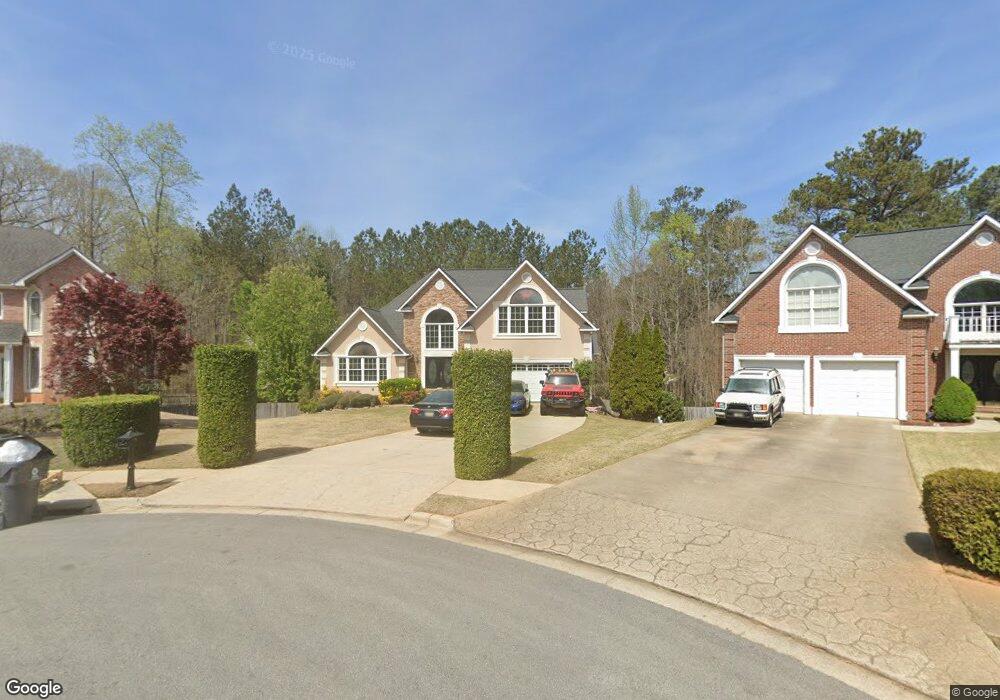
247 Memory Ln Stockbridge, GA 30281
Estimated Value: $354,000 - $407,000
4
Beds
3
Baths
2,834
Sq Ft
$134/Sq Ft
Est. Value
About This Home
This home is located at 247 Memory Ln, Stockbridge, GA 30281 and is currently estimated at $381,023, approximately $134 per square foot. 247 Memory Ln is a home located in Henry County with nearby schools including Red Oak Elementary School, Dutchtown Middle School, and Dutchtown High School.
Ownership History
Date
Name
Owned For
Owner Type
Purchase Details
Closed on
Jul 25, 2004
Sold by
Fannie Mae
Bought by
Khan Rabia S
Current Estimated Value
Home Financials for this Owner
Home Financials are based on the most recent Mortgage that was taken out on this home.
Original Mortgage
$188,910
Outstanding Balance
$94,500
Interest Rate
6.24%
Mortgage Type
New Conventional
Estimated Equity
$286,523
Purchase Details
Closed on
Jan 6, 2004
Sold by
Mortgage Elec Regis Sys Inc
Bought by
Federal National Mortgage Association
Purchase Details
Closed on
Aug 31, 1999
Sold by
Herman & Jones Inc
Bought by
Rogers Jeffrey R
Home Financials for this Owner
Home Financials are based on the most recent Mortgage that was taken out on this home.
Original Mortgage
$176,900
Interest Rate
7.5%
Mortgage Type
New Conventional
Create a Home Valuation Report for This Property
The Home Valuation Report is an in-depth analysis detailing your home's value as well as a comparison with similar homes in the area
Home Values in the Area
Average Home Value in this Area
Purchase History
| Date | Buyer | Sale Price | Title Company |
|---|---|---|---|
| Khan Rabia S | -- | -- | |
| Federal National Mortgage Association | -- | -- | |
| Mortgage Elec Regis Sys Inc | $192,050 | -- | |
| Rogers Jeffrey R | $206,900 | -- |
Source: Public Records
Mortgage History
| Date | Status | Borrower | Loan Amount |
|---|---|---|---|
| Open | Khan Rabia S | $188,910 | |
| Previous Owner | Rogers Jeffrey R | $176,900 |
Source: Public Records
Tax History
| Year | Tax Paid | Tax Assessment Tax Assessment Total Assessment is a certain percentage of the fair market value that is determined by local assessors to be the total taxable value of land and additions on the property. | Land | Improvement |
|---|---|---|---|---|
| 2025 | $6,725 | $165,396 | $23,400 | $141,996 |
| 2024 | $6,725 | $169,240 | $23,400 | $145,840 |
| 2023 | $6,932 | $166,280 | $18,200 | $148,080 |
| 2022 | $5,349 | $133,360 | $18,200 | $115,160 |
| 2021 | $4,561 | $112,680 | $18,200 | $94,480 |
| 2020 | $4,348 | $107,080 | $13,000 | $94,080 |
| 2019 | $4,015 | $100,000 | $13,000 | $87,000 |
| 2018 | $3,839 | $95,400 | $13,000 | $82,400 |
| 2016 | $3,391 | $83,720 | $15,600 | $68,120 |
| 2015 | $3,087 | $73,520 | $9,360 | $64,160 |
| 2014 | $2,931 | $68,760 | $9,360 | $59,400 |
Source: Public Records
Map
Nearby Homes
- 1009 Chads Ridge
- 0 S Speer Rd Unit 7720430
- 0 S Speer Rd Unit 10692806
- 418 Woodwind Ct
- 3392 Lost Valley Dr
- 224 Reeves Creek Way
- 115 Jasper Dr
- 705 Brentwood Pkwy
- 8257 Greenview Dr
- 635 Edgecombe
- 652 Rayella Dr
- 568 Ransom Way
- 511 Anglewood Trace
- 716 Berkeley Dr
- 724 Berkeley Dr
- 730 Berkeley Dr
- 735 Berkeley Dr
- 714 Berkeley Dr
- 378 Berkeley Dr
- 719 Berkeley Dr
Your Personal Tour Guide
Ask me questions while you tour the home.