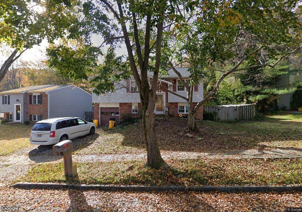
247 Overleaf Dr Arnold, MD 21012
Estimated Value: $466,000 - $549,000
Studio
2
Baths
1,074
Sq Ft
$470/Sq Ft
Est. Value
About This Home
This home is located at 247 Overleaf Dr, Arnold, MD 21012 and is currently estimated at $505,219, approximately $470 per square foot. 247 Overleaf Dr is a home located in Anne Arundel County with nearby schools including Broadneck Elementary School, Magothy River Middle School, and Broadneck High School.
Ownership History
Date
Name
Owned For
Owner Type
Purchase Details
Closed on
Jun 11, 2001
Sold by
Richardson Stewart V
Bought by
Bice Stanley R and Bive Jennifer L
Current Estimated Value
Purchase Details
Closed on
Jan 22, 1993
Sold by
Rider Lawrence J
Bought by
Richardson Stewart
Home Financials for this Owner
Home Financials are based on the most recent Mortgage that was taken out on this home.
Original Mortgage
$140,700
Interest Rate
8%
Purchase Details
Closed on
May 11, 1988
Sold by
Carroll Thomas A
Bought by
Rider Lawrence J
Home Financials for this Owner
Home Financials are based on the most recent Mortgage that was taken out on this home.
Original Mortgage
$103,650
Interest Rate
10.32%
Create a Home Valuation Report for This Property
The Home Valuation Report is an in-depth analysis detailing your home's value as well as a comparison with similar homes in the area
Home Values in the Area
Average Home Value in this Area
Purchase History
| Date | Buyer | Sale Price | Title Company |
|---|---|---|---|
| Bice Stanley R | $189,900 | -- | |
| Richardson Stewart | $139,000 | -- | |
| Rider Lawrence J | $111,000 | -- |
Source: Public Records
Mortgage History
| Date | Status | Borrower | Loan Amount |
|---|---|---|---|
| Previous Owner | Richardson Stewart | $140,700 | |
| Previous Owner | Rider Lawrence J | $103,650 | |
| Closed | Bice Stanley R | -- |
Source: Public Records
Tax History
| Year | Tax Paid | Tax Assessment Tax Assessment Total Assessment is a certain percentage of the fair market value that is determined by local assessors to be the total taxable value of land and additions on the property. | Land | Improvement |
|---|---|---|---|---|
| 2025 | $3,218 | $395,533 | -- | -- |
| 2024 | $3,218 | $370,400 | $230,700 | $139,700 |
| 2023 | $2,655 | $362,900 | $0 | $0 |
| 2022 | $2,927 | $355,400 | $0 | $0 |
| 2020 | $2,785 | $337,300 | $0 | $0 |
| 2019 | $2,735 | $326,700 | $0 | $0 |
| 2018 | $3,205 | $316,100 | $173,000 | $143,100 |
| 2017 | $2,580 | $311,833 | $0 | $0 |
| 2016 | -- | $307,567 | $0 | $0 |
| 2015 | -- | $303,300 | $0 | $0 |
| 2014 | -- | $291,800 | $0 | $0 |
Source: Public Records
Map
Nearby Homes
- 303 Ternwing Dr
- 930 Whitstable Blvd
- 434 College Pkwy
- 312 Rosslare Dr
- 1078 Brightleaf Ct
- 1233 Birchcrest Ct
- 308 Clifton Ave
- 319 Alameda Pkwy
- 394 Kings College Dr
- 559 Melissa Ct
- 342 Buena Vista Ave
- 805 Barrett Ave
- 136 Collington Ct
- 404 Alameda Pkwy
- 508 Bay Hills Dr
- 371 Freshfield Ln
- 413 Ridgeview Ct
- 1232 Taylor Ave
- 1254 Masters Dr
- 856 Imperial Rd
- 243 Overleaf Dr
- 251 Overleaf Dr
- 241 Overleaf Dr
- 260 Overleaf Dr
- 256 Overleaf Dr
- 262 Overleaf Dr
- 253 Overleaf Dr
- 252 Overleaf Dr
- 264 Overleaf Dr
- 250 Overleaf Dr
- 258 Overleaf Dr
- 257 Overleaf Dr
- 266 Overleaf Dr
- 254 Overleaf Dr
- 248 Overleaf Dr
- 336 Rosslare Dr
- 338 Rosslare Dr
- 268 Overleaf Dr
- 259 Overleaf Dr
- 334 Rosslare Dr
Your Personal Tour Guide
Ask me questions while you tour the home.