247 Royal Dr Rock Island, TN 38581
Estimated Value: $108,000 - $170,000
--
Bed
2
Baths
1,050
Sq Ft
$135/Sq Ft
Est. Value
About This Home
This home is located at 247 Royal Dr, Rock Island, TN 38581 and is currently estimated at $141,527, approximately $134 per square foot. 247 Royal Dr is a home located in Warren County with nearby schools including Eastside Elementary School and Warren County High School.
Ownership History
Date
Name
Owned For
Owner Type
Purchase Details
Closed on
May 30, 2006
Sold by
Tate Edward B
Bought by
Sheets Denny and Sheets Jacqueline
Current Estimated Value
Purchase Details
Closed on
Jun 16, 1998
Sold by
Hale Waymon Clinton
Bought by
Tate Edward B and Tate Nancy E
Purchase Details
Closed on
Aug 1, 1994
Bought by
Brown Judy L
Purchase Details
Closed on
Jun 16, 1992
Bought by
Donelson Steve and Donelson Dianne
Purchase Details
Closed on
Mar 15, 1991
Bought by
Nunley Melody Ann
Purchase Details
Closed on
Aug 25, 1987
Bought by
Nunley Ricky G and Nunley Melody A
Purchase Details
Closed on
Jan 2, 1900
Bought by
Not Available
Create a Home Valuation Report for This Property
The Home Valuation Report is an in-depth analysis detailing your home's value as well as a comparison with similar homes in the area
Home Values in the Area
Average Home Value in this Area
Purchase History
| Date | Buyer | Sale Price | Title Company |
|---|---|---|---|
| Sheets Denny | $50,000 | -- | |
| Tate Edward B | $61,000 | -- | |
| Brown Judy L | $44,500 | -- | |
| Donelson Steve | $26,000 | -- | |
| Nunley Melody Ann | -- | -- | |
| Nunley Ricky G | -- | -- | |
| -- | -- | -- |
Source: Public Records
Tax History Compared to Growth
Tax History
| Year | Tax Paid | Tax Assessment Tax Assessment Total Assessment is a certain percentage of the fair market value that is determined by local assessors to be the total taxable value of land and additions on the property. | Land | Improvement |
|---|---|---|---|---|
| 2024 | $380 | $19,325 | $2,125 | $17,200 |
| 2023 | $380 | $19,325 | $2,125 | $17,200 |
| 2022 | $380 | $19,325 | $2,125 | $17,200 |
| 2021 | $380 | $19,325 | $2,125 | $17,200 |
| 2020 | $315 | $19,325 | $2,125 | $17,200 |
| 2019 | $359 | $16,000 | $2,050 | $13,950 |
| 2018 | $315 | $16,000 | $2,050 | $13,950 |
| 2017 | $315 | $16,000 | $2,050 | $13,950 |
| 2016 | $310 | $16,000 | $2,050 | $13,950 |
| 2015 | $315 | $15,775 | $2,050 | $13,725 |
| 2014 | $323 | $15,775 | $2,050 | $13,725 |
| 2013 | $323 | $16,185 | $0 | $0 |
Source: Public Records
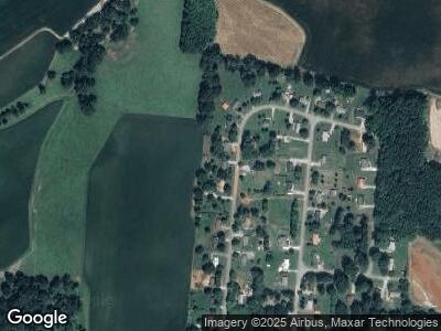
Map
Nearby Homes
- 391 Azalea Dr
- 136 E School Dr
- 128 Briarwood Dr
- 3667 Locke Bend Rd
- 0 R Gribble Rd Unit RTC2739927
- 1 Starlight Rd
- 3295 Locke Bend Rd
- 0 Starlight Rd
- 879 Crain Rd
- 50.35AC Hankins Rd
- 50A Hankins Rd
- 412 Rock Station Rd
- 4293 Sparta Hwy
- 6831 Shellsford Rd
- 0 Rock Station Rd
- 0 C Rowland Rd
- 682 Shady Rest Rd
- 7 Long Mountain
- 394 Asbury Rd
- 0 Goodbar Rd Unit RTC2866833