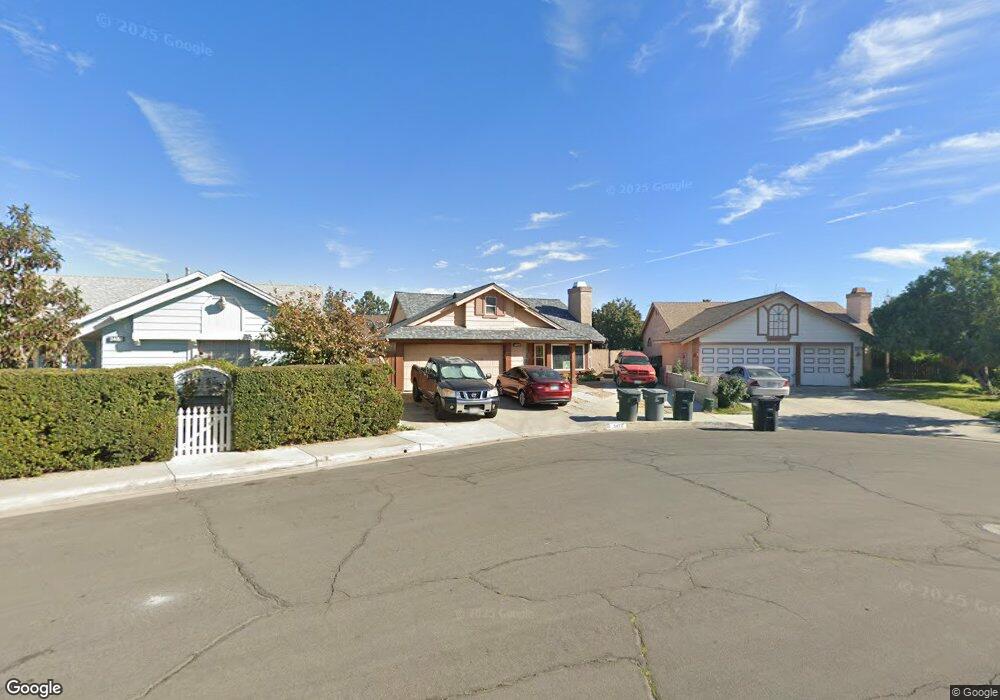
2477 Cannonade Ct Perris, CA 92571
Central Perris NeighborhoodEstimated Value: $410,149 - $466,000
2
Beds
4
Baths
932
Sq Ft
$473/Sq Ft
Est. Value
About This Home
This home is located at 2477 Cannonade Ct, Perris, CA 92571 and is currently estimated at $440,787, approximately $472 per square foot. 2477 Cannonade Ct is a home located in Riverside County with nearby schools including Val Verde Elementary School, Lakeside Middle School, and Rancho Verde High School.
Ownership History
Date
Name
Owned For
Owner Type
Purchase Details
Closed on
Jul 21, 1999
Sold by
Hud
Bought by
Loring Jesse W and Loring Marilyn
Current Estimated Value
Home Financials for this Owner
Home Financials are based on the most recent Mortgage that was taken out on this home.
Original Mortgage
$62,484
Outstanding Balance
$16,614
Interest Rate
7.64%
Mortgage Type
FHA
Estimated Equity
$424,173
Purchase Details
Closed on
Sep 17, 1998
Sold by
Ochoa Jamie B and Ochoa Jeanette L
Bought by
Nationsbanc Mtg Corp
Purchase Details
Closed on
Sep 15, 1998
Sold by
Nationsbanc Mtg Corp
Bought by
Hud
Create a Home Valuation Report for This Property
The Home Valuation Report is an in-depth analysis detailing your home's value as well as a comparison with similar homes in the area
Home Values in the Area
Average Home Value in this Area
Purchase History
| Date | Buyer | Sale Price | Title Company |
|---|---|---|---|
| Loring Jesse W | $65,000 | Gateway Title Company | |
| Nationsbanc Mtg Corp | $70,978 | Benefit Land Title Ins Co | |
| Hud | -- | United Title Company |
Source: Public Records
Mortgage History
| Date | Status | Borrower | Loan Amount |
|---|---|---|---|
| Open | Loring Jesse W | $62,484 |
Source: Public Records
Tax History
| Year | Tax Paid | Tax Assessment Tax Assessment Total Assessment is a certain percentage of the fair market value that is determined by local assessors to be the total taxable value of land and additions on the property. | Land | Improvement |
|---|---|---|---|---|
| 2025 | $1,248 | $99,868 | $38,405 | $61,463 |
| 2023 | $1,248 | $95,991 | $36,914 | $59,077 |
| 2022 | $2,385 | $94,110 | $36,191 | $57,919 |
| 2021 | $2,377 | $92,266 | $35,482 | $56,784 |
| 2020 | $2,320 | $91,321 | $35,119 | $56,202 |
| 2019 | $2,259 | $89,531 | $34,431 | $55,100 |
| 2018 | $2,239 | $87,776 | $33,757 | $54,019 |
| 2017 | $2,987 | $86,056 | $33,096 | $52,960 |
| 2016 | $3,047 | $84,370 | $32,448 | $51,922 |
| 2015 | $3,044 | $83,104 | $31,961 | $51,143 |
| 2014 | $1,964 | $81,479 | $31,336 | $50,143 |
Source: Public Records
Map
Nearby Homes
- 2536 Slew of Gold Ct
- 166 Ambrosia Ct
- 49 Bold Venture St
- 2231 Flash Ct
- 450 Lisbon St
- 2248 Ridge Ct
- 575 Prairie Way
- 377 Aurora Dr
- 466 Granite View Dr
- 716 Periwinkle Ln
- 705 Fuchsia Ln
- 507 Coudures Way
- 723 Anthirium Ave
- 129 Olivetree Dr
- 763 Anthirium Ave
- 2070 Dayflower Ct
- 3107 Lake View Dr
- 1829 Springtree Dr
- 3123 El Rosario Dr
- 1942 Sandcastle Dr
- 2485 Cannonade Ct
- 2469 Cannonade Ct
- 2478 Johnston St
- 2470 Johnston St
- 2486 Johnston St
- 2493 Cannonade Ct
- 2460 Cannonade Ct
- 2464 Johnston St
- 2494 Johnston St
- 2503 Cannonade Ct
- 2458 Johnston St
- 198 Whirlaway St
- 190 Whirlaway St
- 2476 Cannonade Ct
- 2484 Cannonade Ct
- 2468 Cannonade Ct
- 2502 Johnston St
- 182 Whirlaway St
- 2492 Cannonade Ct
- 2511 Cannonade Ct
Your Personal Tour Guide
Ask me questions while you tour the home.