Estimated Value: $253,106 - $334,000
2
Beds
2
Baths
2,690
Sq Ft
$109/Sq Ft
Est. Value
About This Home
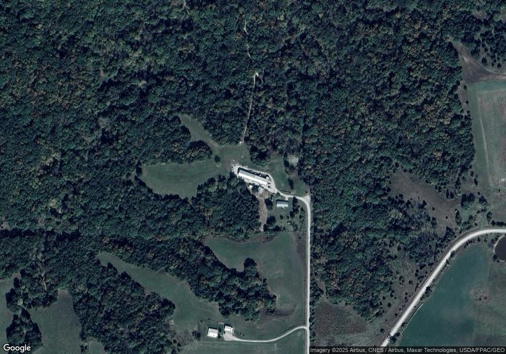
This home is located at 24787 290th Ave, Leon, IA 50144 and is currently estimated at $293,553, approximately $109 per square foot. 24787 290th Ave is a home located in Decatur County with nearby schools including South Elementary School, North Elementary School, and Central Decatur Middle/High School.
Ownership History
Date
Name
Owned For
Owner Type
Purchase Details
Closed on
Jul 8, 2016
Sold by
Hatfield Kevin and Hatfield Darci
Bought by
Hatfield Jerry J and Hatfield Terri S
Current Estimated Value
Purchase Details
Closed on
Aug 14, 2012
Sold by
Randy Bethards Ronald and Randy Bethrads
Bought by
Hatfield Kevin Jay and Hatfield Darei Jean
Create a Home Valuation Report for This Property
The Home Valuation Report is an in-depth analysis detailing your home's value as well as a comparison with similar homes in the area
Purchase History
| Date | Buyer | Sale Price | Title Company |
|---|---|---|---|
| Hatfield Jerry J | $200,000 | None Available | |
| Hatfield Kevin Jay | $240,000 | None Available |
Source: Public Records
Mortgage History
| Date | Status | Borrower | Loan Amount |
|---|---|---|---|
| Closed | Hatfield Kevin Jay | $0 |
Source: Public Records
Tax History
| Year | Tax Paid | Tax Assessment Tax Assessment Total Assessment is a certain percentage of the fair market value that is determined by local assessors to be the total taxable value of land and additions on the property. | Land | Improvement |
|---|---|---|---|---|
| 2025 | $1,882 | $168,352 | $17,302 | $151,050 |
| 2024 | $1,882 | $130,810 | $12,560 | $118,250 |
| 2023 | $2,094 | $130,810 | $12,560 | $118,250 |
| 2022 | $2,050 | $114,406 | $9,373 | $105,033 |
| 2021 | $2,088 | $114,406 | $9,373 | $105,033 |
| 2019 | $2,276 | $108,464 | $0 | $0 |
| 2018 | $2,276 | $108,464 | $0 | $0 |
| 2017 | $2,228 | $103,984 | $0 | $0 |
| 2016 | $1,948 | $103,984 | $0 | $0 |
| 2015 | $1,948 | $103,984 | $0 | $0 |
| 2014 | $3,842 | $103,984 | $0 | $0 |
| 2013 | $1,728 | $0 | $0 | $0 |
Source: Public Records
Map
Nearby Homes
- 0 230th St
- 230th St
- 0 McGruder Creek Rd Unit Leon Iowa 50144
- 24592 McGruder Creek Rd
- 25146 Nature Rd
- 0000 300th Ave
- 906 SE Q St
- 201 SE Locust St
- 24194 Us Highway 69 None
- 24194 U S 69
- Boothtown Rd Lot Unit WP001
- 205 NE Q St
- 102 S Main St
- 811 NE 10th St
- 307th St Lot Unit WP001
- 1709 NW Church St
- 205 NW 7th St
- 0000 Spring Valley Rd
- 305 NW 8th St
- 25069 McGruder Creek
Your Personal Tour Guide
Ask me questions while you tour the home.