2479 Macarthur Pkwy Lodi, CA 95242
Sunwest NeighborhoodEstimated Value: $506,000 - $637,000
3
Beds
3
Baths
2,170
Sq Ft
$262/Sq Ft
Est. Value
About This Home
This home is located at 2479 Macarthur Pkwy, Lodi, CA 95242 and is currently estimated at $568,698, approximately $262 per square foot. 2479 Macarthur Pkwy is a home located in San Joaquin County with nearby schools including Erma B. Reese Elementary School, Millswood Middle School, and Lodi High School.
Ownership History
Date
Name
Owned For
Owner Type
Purchase Details
Closed on
Oct 19, 2021
Sold by
Smith Donald R and Smith Lila F
Bought by
Smith Donald R and Smith Lila F
Current Estimated Value
Home Financials for this Owner
Home Financials are based on the most recent Mortgage that was taken out on this home.
Original Mortgage
$250,000
Outstanding Balance
$228,600
Interest Rate
2.99%
Mortgage Type
Credit Line Revolving
Estimated Equity
$340,098
Purchase Details
Closed on
Aug 22, 2012
Sold by
Smith Donald R and Smith Lila F
Bought by
Smith Donald R and Smith Lila F
Home Financials for this Owner
Home Financials are based on the most recent Mortgage that was taken out on this home.
Original Mortgage
$257,950
Interest Rate
3.49%
Mortgage Type
New Conventional
Purchase Details
Closed on
Aug 14, 2003
Sold by
Smith Donald R and Smith Lila F
Bought by
Smith Donald R and Smith Lila F
Purchase Details
Closed on
Sep 11, 2002
Sold by
Smith Donald R and Smith Lila F
Bought by
Smith Donald R and Smith Lila F
Home Financials for this Owner
Home Financials are based on the most recent Mortgage that was taken out on this home.
Original Mortgage
$218,000
Interest Rate
6.29%
Purchase Details
Closed on
Aug 23, 2002
Sold by
Smith Donald R and Smith Lila F
Bought by
Smith Donald R and Smith Lila F
Home Financials for this Owner
Home Financials are based on the most recent Mortgage that was taken out on this home.
Original Mortgage
$218,000
Interest Rate
6.29%
Purchase Details
Closed on
Jan 15, 2001
Sold by
Smith Donald R and Smith Lila F
Bought by
Smith Donald R and Smith Lila F
Home Financials for this Owner
Home Financials are based on the most recent Mortgage that was taken out on this home.
Original Mortgage
$216,300
Interest Rate
7.67%
Purchase Details
Closed on
Dec 11, 2000
Sold by
Smith Donald R & Lila F Tr and Smith Family 1990 Trust
Bought by
Smith Donald R and Smith Lila F
Home Financials for this Owner
Home Financials are based on the most recent Mortgage that was taken out on this home.
Original Mortgage
$216,300
Interest Rate
7.67%
Create a Home Valuation Report for This Property
The Home Valuation Report is an in-depth analysis detailing your home's value as well as a comparison with similar homes in the area
Home Values in the Area
Average Home Value in this Area
Purchase History
| Date | Buyer | Sale Price | Title Company |
|---|---|---|---|
| Smith Donald R | -- | Placer Title Company | |
| Smith Donald R | -- | None Available | |
| Smith Donald R | -- | None Available | |
| Smith Donald R | -- | -- | |
| Smith Donald R | -- | Alliance Title Co | |
| Smith Donald R | -- | Alliance Title Co | |
| Smith Donald R | -- | -- | |
| Smith Donald R | -- | Alliance Title Company |
Source: Public Records
Mortgage History
| Date | Status | Borrower | Loan Amount |
|---|---|---|---|
| Open | Smith Donald R | $250,000 | |
| Closed | Smith Donald R | $257,950 | |
| Previous Owner | Smith Donald R | $218,000 | |
| Previous Owner | Smith Donald R | $216,300 |
Source: Public Records
Tax History
| Year | Tax Paid | Tax Assessment Tax Assessment Total Assessment is a certain percentage of the fair market value that is determined by local assessors to be the total taxable value of land and additions on the property. | Land | Improvement |
|---|---|---|---|---|
| 2025 | $4,615 | $432,813 | $99,184 | $333,629 |
| 2024 | $4,485 | $424,328 | $97,240 | $327,088 |
| 2023 | $4,434 | $416,009 | $95,334 | $320,675 |
| 2022 | $4,334 | $407,853 | $93,465 | $314,388 |
| 2021 | $4,411 | $399,857 | $91,633 | $308,224 |
| 2020 | $4,296 | $395,758 | $90,694 | $305,064 |
| 2019 | $4,207 | $387,999 | $88,916 | $299,083 |
| 2018 | $4,147 | $380,392 | $87,173 | $293,219 |
| 2017 | $4,053 | $372,934 | $85,464 | $287,470 |
| 2016 | $3,798 | $365,624 | $83,789 | $281,835 |
| 2014 | $3,405 | $325,000 | $74,000 | $251,000 |
Source: Public Records
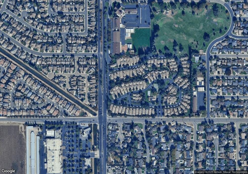
Map
Nearby Homes
- 2483 Macarthur Pkwy
- 2459 Macarthur Pkwy
- 2585 Central Park Dr
- 2410 Central Park Dr
- 2665 Buttercup Dr
- 2640 Tiffany St
- 198 Cottage Ln
- 2337 Corbin Ln
- 2681 Ponderosa Dr
- 2312 Burton Way
- 18 Benson Dr
- 2441 W Elm St
- 61 Secret Ct
- 3040 Carrousel St
- 835 Kramer Dr
- 2019 Debbie Ln
- 872 Westwind Dr
- 2926 La Jolla Way
- 2432 W Vine St
- 2921 Coronado Dr
- 2475 Macarthur Pkwy
- 2491 Macarthur Pkwy
- 2467 Macarthur Pkwy
- 2482 Central Park Dr
- 2490 Central Park Dr
- 200 Gramercy Park Dr
- 2463 Macarthur Pkwy
- 2478 Central Park Dr
- 2486 Central Park Dr
- 2494 Central Park Dr
- 2474 Central Park Dr
- 2498 Central Park Dr
- 204 Gramercy Park Dr
- 2470 Central Park Dr
- 2455 Macarthur Pkwy
- 2466 Central Park Dr
- 2553 Central Park Dr
- 2549 Central Park Dr
- 2557 Central Park Dr
Your Personal Tour Guide
Ask me questions while you tour the home.