248 Saint Andrews Dr Jackson, MS 39211
North Jackson NeighborhoodEstimated Value: $479,000 - $660,000
3
Beds
4
Baths
3,838
Sq Ft
$147/Sq Ft
Est. Value
About This Home
This home is located at 248 Saint Andrews Dr, Jackson, MS 39211 and is currently estimated at $564,993, approximately $147 per square foot. 248 Saint Andrews Dr is a home located in Hinds County with nearby schools including McLeod Elementary School, Chastain Middle School, and Murrah High School.
Ownership History
Date
Name
Owned For
Owner Type
Purchase Details
Closed on
May 29, 2014
Sold by
David W David W and Mockbee Kathleen C
Bought by
Ferguson Tommy R and Ferguson Tina B
Current Estimated Value
Home Financials for this Owner
Home Financials are based on the most recent Mortgage that was taken out on this home.
Original Mortgage
$665,000
Interest Rate
4.36%
Mortgage Type
Purchase Money Mortgage
Create a Home Valuation Report for This Property
The Home Valuation Report is an in-depth analysis detailing your home's value as well as a comparison with similar homes in the area
Home Values in the Area
Average Home Value in this Area
Purchase History
| Date | Buyer | Sale Price | Title Company |
|---|---|---|---|
| Ferguson Tommy R | -- | -- |
Source: Public Records
Mortgage History
| Date | Status | Borrower | Loan Amount |
|---|---|---|---|
| Closed | Ferguson Tommy R | $665,000 |
Source: Public Records
Tax History Compared to Growth
Tax History
| Year | Tax Paid | Tax Assessment Tax Assessment Total Assessment is a certain percentage of the fair market value that is determined by local assessors to be the total taxable value of land and additions on the property. | Land | Improvement |
|---|---|---|---|---|
| 2025 | $7,186 | $38,726 | $13,280 | $25,446 |
| 2024 | $7,186 | $38,726 | $13,280 | $25,446 |
| 2023 | $7,186 | $38,726 | $13,280 | $25,446 |
| 2022 | $7,452 | $38,726 | $13,280 | $25,446 |
| 2021 | $7,152 | $38,726 | $13,280 | $25,446 |
| 2020 | $7,030 | $38,316 | $13,280 | $25,036 |
| 2019 | $7,036 | $38,316 | $13,280 | $25,036 |
| 2018 | $6,955 | $38,316 | $13,280 | $25,036 |
| 2017 | $6,767 | $38,316 | $13,280 | $25,036 |
| 2016 | $6,767 | $38,316 | $13,280 | $25,036 |
| 2015 | $6,494 | $37,948 | $13,280 | $24,668 |
| 2014 | $6,485 | $37,948 | $13,280 | $24,668 |
Source: Public Records
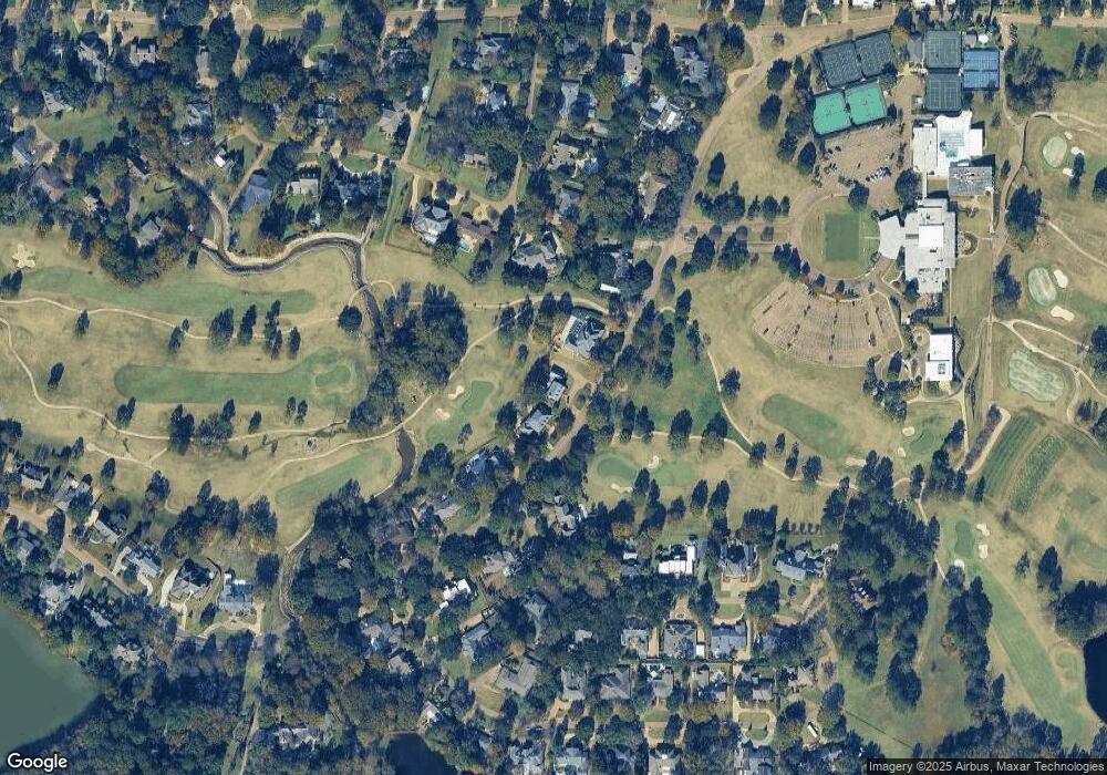
Map
Nearby Homes
- 127 Winged Foot Cir
- 460 Saint Andrews Dr
- 9 Glen Eagles Dr
- 808 Pine Knoll Ct
- 2455 River Oaks Blvd Unit A
- 42 Northtown Rd Unit AB
- 739 Hawthorn Green Dr
- 0 St Andrews Dr Unit 4118460
- 0 St Andrews Dr Unit 4118458
- 919 Montrose Dr
- 143 Rolling Meadows Dr
- 915 Montrose Dr
- 100 Rolling Meadows Dr
- 124 N Brighton Dr
- 0 Rolling Meadows Dr Unit 4101371
- 14 Robinwood Place
- 21 Park Crest Place
- 713 Hawthorn Green Dr
- 235 Park Lane Place
- 214 River Place
- 248 St Andrews Dr
- 242 Saint Andrews Dr
- 254 Saint Andrews Dr
- 236 Saint Andrews Dr
- 151 Olympia Fields
- 236 Winged Foot Cir
- 338 Saint Andrews Dr
- 155 Olympia Fields
- 157 Olympia Fields
- 228 Saint Andrews Dr
- 235 Saint Andrews Dr
- 230 Winged Foot Cir
- 346 Saint Andrews Dr
- 220 Winged Foot Cir
- 139 Olympia Fields
- 163 Olympia Fields
- 219 Winged Foot Cir
- 220 Saint Andrews Dr
- 225 Saint Andrews Dr
- 214 Winged Foot Cir