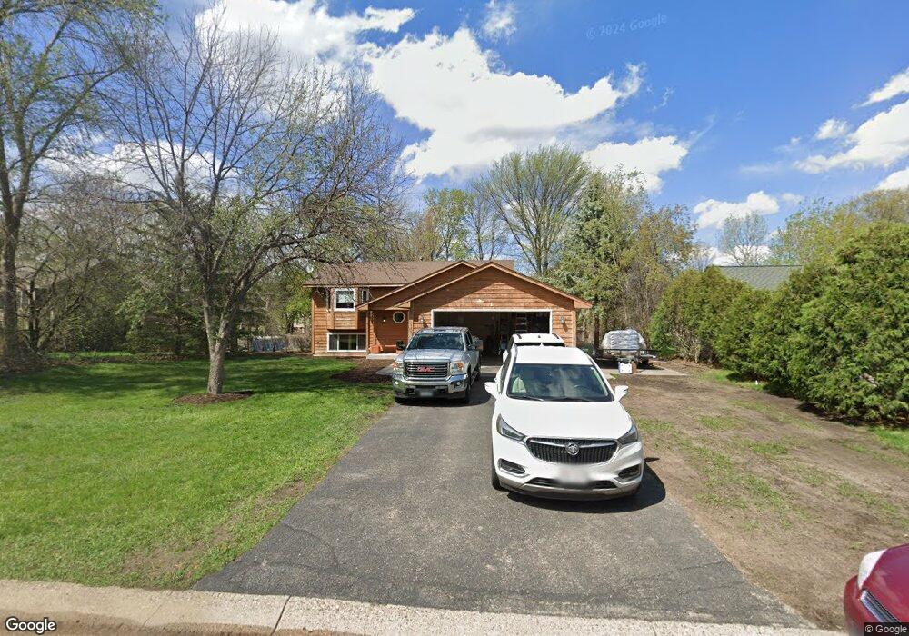
2481 133rd Ln NW Andover, MN 55304
Estimated Value: $326,000 - $380,854
4
Beds
2
Baths
1,972
Sq Ft
$183/Sq Ft
Est. Value
About This Home
This home is located at 2481 133rd Ln NW, Andover, MN 55304 and is currently estimated at $359,964, approximately $182 per square foot. 2481 133rd Ln NW is a home located in Anoka County with nearby schools including Lucile Bruner Elementary School, Morris Bye Elementary School, and Laughlin Junior/Senior High School.
Ownership History
Date
Name
Owned For
Owner Type
Purchase Details
Closed on
Oct 20, 2020
Sold by
Krone Paul C and Krone Cheryl
Bought by
Hanson Kari
Current Estimated Value
Home Financials for this Owner
Home Financials are based on the most recent Mortgage that was taken out on this home.
Original Mortgage
$200,000
Outstanding Balance
$143,437
Interest Rate
2.8%
Mortgage Type
New Conventional
Estimated Equity
$216,527
Create a Home Valuation Report for This Property
The Home Valuation Report is an in-depth analysis detailing your home's value as well as a comparison with similar homes in the area
Home Values in the Area
Average Home Value in this Area
Purchase History
| Date | Buyer | Sale Price | Title Company |
|---|---|---|---|
| Hanson Kari | $250,000 | Titlesmart Inc |
Source: Public Records
Mortgage History
| Date | Status | Borrower | Loan Amount |
|---|---|---|---|
| Open | Hanson Kari | $200,000 |
Source: Public Records
Tax History Compared to Growth
Tax History
| Year | Tax Paid | Tax Assessment Tax Assessment Total Assessment is a certain percentage of the fair market value that is determined by local assessors to be the total taxable value of land and additions on the property. | Land | Improvement |
|---|---|---|---|---|
| 2025 | $2,434 | $348,100 | $121,500 | $226,600 |
| 2024 | $2,434 | $253,300 | $105,300 | $148,000 |
| 2023 | $2,343 | $259,000 | $102,200 | $156,800 |
| 2022 | $2,107 | $261,000 | $97,800 | $163,200 |
| 2021 | $2,054 | $208,500 | $82,000 | $126,500 |
| 2020 | $4,509 | $189,700 | $71,300 | $118,400 |
| 2019 | $2,496 | $190,600 | $71,300 | $119,300 |
| 2018 | $2,383 | $225,800 | $0 | $0 |
| 2017 | $2,133 | $212,700 | $0 | $0 |
| 2016 | $2,196 | $189,200 | $0 | $0 |
| 2015 | -- | $189,200 | $63,100 | $126,100 |
| 2014 | -- | $154,000 | $45,000 | $109,000 |
Source: Public Records
Map
Nearby Homes
- 13182 Zion St NW
- 13416 Swallow St NW
- 2740 132nd Ln NW
- 2270 137th Ln NW
- 13519 Partridge Cir NW
- 13624 Gladiola St NW
- 13680 Gladiola St NW
- 13664 Gladiola St NW
- 2201 139th Ave NW
- 12760 Raven St NW
- 13871 Eidelweiss St NW
- 13414 Jonquil St NW
- 2538 140th Ln NW
- 2675 128th Ave NW
- 1776 133rd Ave NW
- 1687 131st Ln NW
- 1930 127th Cir NW
- 2147 125th Ln NW
- 3233 Northdale Ln NW
- 3227 Northdale Ln NW
- 2467 133rd Ln NW
- 2493 133rd Ln NW
- 2480 134th Ave NW
- 2494 134th Ave NW
- 2466 134th Ave NW
- 2507 133rd Ln NW
- 2455 133rd Ln NW
- 2482 133rd Ln NW
- 2494 133rd Ln NW
- 2468 133rd Ln NW
- 2508 134th Ave NW
- 2454 134th Ave NW
- 2521 133rd Ln NW
- 2508 133rd Ln NW
- 2456 133rd Ln NW
- 2522 134th Ave NW
- 2444 133rd Ln NW
- 2491 134th Ave NW
- 2522 133rd Ln NW
- 13355 Wren St NW