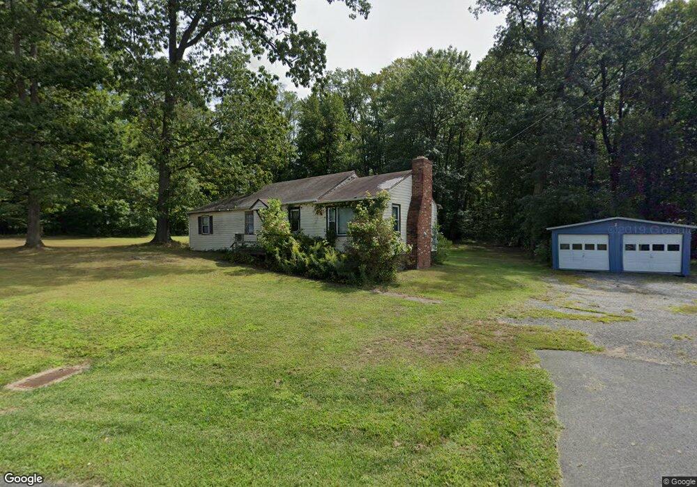
249 Welsh Tract Rd Newark, DE 19702
Estimated Value: $202,000 - $402,000
2
Beds
1
Bath
1,016
Sq Ft
$264/Sq Ft
Est. Value
About This Home
This home is located at 249 Welsh Tract Rd, Newark, DE 19702 and is currently estimated at $268,638, approximately $264 per square foot. 249 Welsh Tract Rd is a home located in New Castle County with nearby schools including West Park Place Elementary School, Gauger-Cobbs Middle School, and Glasgow High School.
Ownership History
Date
Name
Owned For
Owner Type
Purchase Details
Closed on
Jul 2, 2021
Sold by
Slack Merle J and The Merle J Slack Living Trust
Bought by
Tuncer Mustafa
Current Estimated Value
Purchase Details
Closed on
Sep 18, 2012
Sold by
Slack John W and Slack Merle J
Bought by
Slack Merle J and The Merle J Slack Living Trust
Purchase Details
Closed on
Jun 13, 2005
Sold by
Eastbrurn Carl H and Eastburn Kimberly J
Bought by
Slack John W and Slack Merle J
Purchase Details
Closed on
Jun 28, 2001
Sold by
Eastburn John H
Bought by
Eastburn Carl H and Eastburn Kimberly J
Home Financials for this Owner
Home Financials are based on the most recent Mortgage that was taken out on this home.
Original Mortgage
$45,000
Interest Rate
7.21%
Mortgage Type
Purchase Money Mortgage
Create a Home Valuation Report for This Property
The Home Valuation Report is an in-depth analysis detailing your home's value as well as a comparison with similar homes in the area
Home Values in the Area
Average Home Value in this Area
Purchase History
| Date | Buyer | Sale Price | Title Company |
|---|---|---|---|
| Tuncer Mustafa | $150,000 | None Available | |
| Slack Merle J | -- | None Available | |
| Slack John W | $150,000 | -- | |
| Eastburn Carl H | -- | -- |
Source: Public Records
Mortgage History
| Date | Status | Borrower | Loan Amount |
|---|---|---|---|
| Previous Owner | Eastburn Carl H | $45,000 |
Source: Public Records
Tax History Compared to Growth
Tax History
| Year | Tax Paid | Tax Assessment Tax Assessment Total Assessment is a certain percentage of the fair market value that is determined by local assessors to be the total taxable value of land and additions on the property. | Land | Improvement |
|---|---|---|---|---|
| 2024 | $852 | $20,000 | $20,000 | $0 |
| 2023 | $828 | $20,000 | $20,000 | $0 |
| 2022 | $826 | $20,000 | $20,000 | $0 |
| 2021 | $809 | $20,000 | $20,000 | $0 |
| 2020 | $1,718 | $43,600 | $20,000 | $23,600 |
| 2019 | $1,518 | $43,600 | $20,000 | $23,600 |
| 2018 | $1,478 | $43,600 | $20,000 | $23,600 |
| 2017 | $1,422 | $43,600 | $20,000 | $23,600 |
| 2016 | $1,422 | $43,600 | $20,000 | $23,600 |
| 2015 | $1,296 | $43,600 | $20,000 | $23,600 |
| 2014 | $1,295 | $43,600 | $20,000 | $23,600 |
Source: Public Records
Map
Nearby Homes
- 37 Palo Ln
- 1581 Iron Hill Rd
- 10 Knights Crossing
- 1 Michael Townsend Ct
- 80 Welsh Tract Rd Unit 209
- 84 Welsh Tract Rd Unit 108
- 84 Welsh Tract Rd Unit 311
- 68 Welsh Tract Rd Unit 109
- 40 Arizona State Dr
- 268 W Chestnut Hill Rd
- 17 Oakview Dr
- 4 Festival Ct
- 8 Gypsum Dr Unit 168
- 8 Spur Ridge Ct
- 23 Maple Dr Unit 16
- 15 Charles Point
- 759 Arbour Dr
- 724 Brook Dr
- 420 Arbour Dr
- 1908 Waters Edge Dr Unit 129