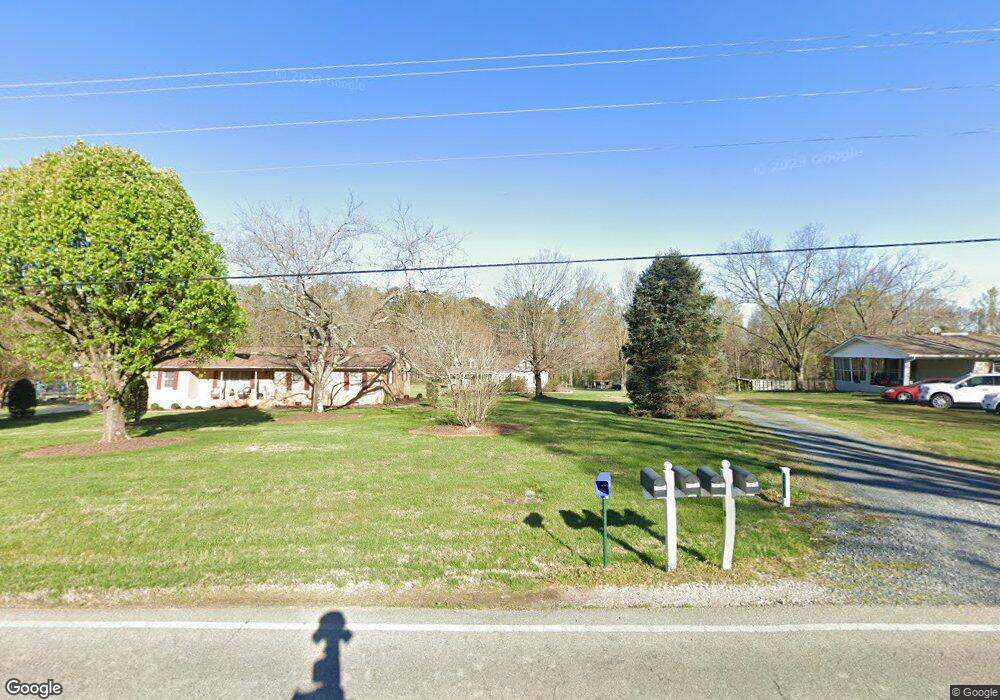
24913 Millingport Rd Locust, NC 28097
Estimated Value: $361,000 - $501,000
3
Beds
3
Baths
2,311
Sq Ft
$195/Sq Ft
Est. Value
About This Home
This home is located at 24913 Millingport Rd, Locust, NC 28097 and is currently estimated at $450,714, approximately $195 per square foot. 24913 Millingport Rd is a home with nearby schools including Locust Elementary School, West Stanly Middle School, and West Stanly High School.
Ownership History
Date
Name
Owned For
Owner Type
Purchase Details
Closed on
Jan 1, 2012
Bought by
Fink Jessica E and Fink Bradley J
Current Estimated Value
Purchase Details
Closed on
Sep 15, 2011
Sold by
Griffin Paula Eudy and Griffin Jackie H
Bought by
Fink Jessica Eudy and Fink Bradley Joe
Home Financials for this Owner
Home Financials are based on the most recent Mortgage that was taken out on this home.
Original Mortgage
$14,000
Interest Rate
4.4%
Mortgage Type
Purchase Money Mortgage
Create a Home Valuation Report for This Property
The Home Valuation Report is an in-depth analysis detailing your home's value as well as a comparison with similar homes in the area
Home Values in the Area
Average Home Value in this Area
Purchase History
| Date | Buyer | Sale Price | Title Company |
|---|---|---|---|
| Fink Jessica E | -- | -- | |
| Fink Jessica Eudy | $9,000 | None Available |
Source: Public Records
Mortgage History
| Date | Status | Borrower | Loan Amount |
|---|---|---|---|
| Previous Owner | Fink Jessica Eudy | $14,000 |
Source: Public Records
Tax History
| Year | Tax Paid | Tax Assessment Tax Assessment Total Assessment is a certain percentage of the fair market value that is determined by local assessors to be the total taxable value of land and additions on the property. | Land | Improvement |
|---|---|---|---|---|
| 2025 | $2,389 | $361,944 | $51,144 | $310,800 |
| 2024 | $2,004 | $278,351 | $32,728 | $245,623 |
| 2023 | $2,101 | $278,351 | $32,728 | $245,623 |
| 2022 | $2,101 | $278,351 | $32,728 | $245,623 |
| 2021 | $2,099 | $278,351 | $32,728 | $245,623 |
| 2020 | $1,971 | $243,654 | $29,150 | $214,504 |
| 2019 | $1,986 | $243,654 | $29,150 | $214,504 |
| 2018 | $1,901 | $243,654 | $29,150 | $214,504 |
| 2017 | $1,901 | $243,654 | $29,150 | $214,504 |
| 2016 | $1,775 | $233,540 | $26,498 | $207,042 |
| 2015 | $1,864 | $233,540 | $26,498 | $207,042 |
| 2014 | -- | $173,368 | $26,498 | $146,870 |
Source: Public Records
Map
Nearby Homes
- 17427 Purser Dr
- 16138 Substation Rd
- Parcel 2 Birdhouse Ln
- Parcel 1 Birdhouse Ln
- 24910 Birdhouse Ln Unit 1
- 16659 Five Point Rd
- 00 Millingport Rd Unit 1
- 20420 Ridgecrest Rd
- 20956 Old Mill Rd
- 20313 Running Creek Church Rd
- 21080 Running Creek Dr
- 21072 Running Creek Dr
- 137 Soft Breeze Bend Unit 283b
- 155 Soft Breeze Bend Unit 286b
- 21064 Running Creek Dr
- 20289 Running Creek Church Rd
- 21056 Running Creek Dr
- 21048 Running Creek Dr
- Red Cedar Plan at Running Creek
- Rainier Plan at Running Creek
- 24905 Millingport Rd
- 24921 Millingport Rd
- 24885 Millingport Rd
- 24935 Millingport Rd
- 24908 Millingport Rd
- 24926 Millingport Rd
- 24890 Millingport Rd
- 24880 Millingport Rd
- 24953 Millingport Rd
- 24857 Millingport Rd
- 24858 Millingport Rd
- 24846 Millingport Rd
- 24566 Ridgecrest Rd
- 24733 Ridgecrest Rd
- 24866 Millingport Rd
- 24633 Ridgecrest Rd
- 24671 Ridgecrest Rd
- 25013 Millingport Rd
- 25013 Millingport Rd
- 24530 Ridgecrest Rd
Your Personal Tour Guide
Ask me questions while you tour the home.