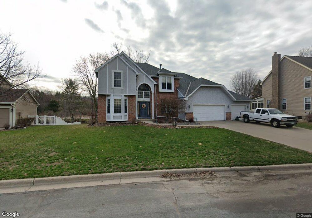
2492 Pond Cir E Saint Paul, MN 55120
Estimated Value: $700,854 - $921,000
4
Beds
4
Baths
2,591
Sq Ft
$305/Sq Ft
Est. Value
About This Home
This home is located at 2492 Pond Cir E, Saint Paul, MN 55120 and is currently estimated at $790,964, approximately $305 per square foot. 2492 Pond Cir E is a home located in Dakota County with nearby schools including Mendota Elementary School, Friendly Hills Middle School, and Two Rivers High School.
Ownership History
Date
Name
Owned For
Owner Type
Purchase Details
Closed on
Jun 28, 1999
Sold by
Skolkin Michael and Skolkin Andrea
Bought by
Morse Lawrence and Morse Deborah
Current Estimated Value
Create a Home Valuation Report for This Property
The Home Valuation Report is an in-depth analysis detailing your home's value as well as a comparison with similar homes in the area
Home Values in the Area
Average Home Value in this Area
Purchase History
| Date | Buyer | Sale Price | Title Company |
|---|---|---|---|
| Morse Lawrence | $299,000 | -- |
Source: Public Records
Tax History
| Year | Tax Paid | Tax Assessment Tax Assessment Total Assessment is a certain percentage of the fair market value that is determined by local assessors to be the total taxable value of land and additions on the property. | Land | Improvement |
|---|---|---|---|---|
| 2024 | $7,008 | $698,300 | $136,000 | $562,300 |
| 2023 | $7,008 | $710,700 | $132,900 | $577,800 |
| 2022 | $6,026 | $689,100 | $132,600 | $556,500 |
| 2021 | $5,856 | $584,800 | $115,300 | $469,500 |
| 2020 | $5,710 | $564,200 | $109,800 | $454,400 |
| 2019 | $5,387 | $535,500 | $104,600 | $430,900 |
| 2018 | $4,593 | $486,400 | $97,700 | $388,700 |
| 2017 | $4,397 | $430,300 | $92,800 | $337,500 |
| 2016 | $4,282 | $399,000 | $88,300 | $310,700 |
| 2015 | $4,409 | $390,585 | $87,869 | $302,716 |
| 2014 | -- | $387,424 | $82,934 | $304,490 |
| 2013 | -- | $350,691 | $79,716 | $270,975 |
Source: Public Records
Map
Nearby Homes
- 2498 Pond Cir E
- 610 Watersedge Terrace
- 240 Salem Church Rd
- 2571 Bedford Ct
- 260 Salem Church Rd
- 2572 Lockwood Dr Unit 68
- 2556 Lockwood Dr Unit 59
- 2600 Lockwood Dr
- 2194 Charlton Rd
- 2545 Concord Way Unit 115
- 2158 Charlton Rd
- 750 Mohican Ln
- 2300 Pagel Rd
- 6373 Apple Ct
- 6380 Apple Ct
- 809 Wagon Wheel Trail
- 6426 Agate Trail
- 6331 Apple Ct
- 6439 Alvina Ct
- 791 Creek Ave
- 2488 Pond Cir E
- 2480 Pond Cir E
- 2493 Pond Cir E
- 2481 Pond Cir E
- 2499 Pond Cir E
- 2474 Pond Cir E
- 2454 Canton Ct
- 2471 2471 Pond Cir E
- 2478 Pond Cir W
- 2471 Pond Cir E
- 2451 Canton Ct
- 2464 Canton Ct
- 2486 Pond Cir W
- 2496 Pond Cir W
- 2470 Pond Cir E
- 2461 Canton Ct
- 2464 Pond Cir E
- 2430 Delaware Ave
- 2474 Canton Ct
- 7 Ponds Edge Rd
Your Personal Tour Guide
Ask me questions while you tour the home.