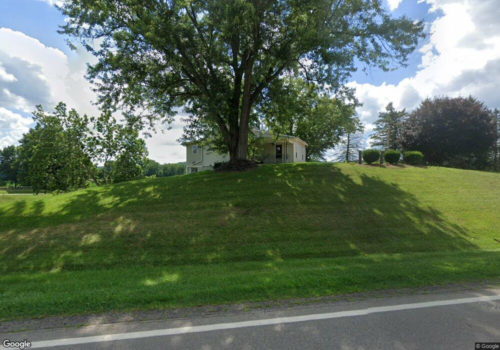
2498 State Route 179 Lakeville, OH 44638
Estimated Value: $454,000
2
Beds
1
Bath
1,389
Sq Ft
$327/Sq Ft
Est. Value
About This Home
This home is located at 2498 State Route 179, Lakeville, OH 44638 and is currently estimated at $454,000, approximately $326 per square foot. 2498 State Route 179 is a home located in Ashland County with nearby schools including McMullen Elementary School, Budd Elementary School, and Loudonville High School.
Ownership History
Date
Name
Owned For
Owner Type
Purchase Details
Closed on
May 27, 2023
Sold by
Humphrey Family Revocable Living Trust
Bought by
Humphrey Ross A and Humphrey Karen S
Current Estimated Value
Purchase Details
Closed on
Mar 31, 2003
Sold by
Humphrey Richard D
Purchase Details
Closed on
Jan 1, 1990
Bought by
Humphrey Richard D
Create a Home Valuation Report for This Property
The Home Valuation Report is an in-depth analysis detailing your home's value as well as a comparison with similar homes in the area
Home Values in the Area
Average Home Value in this Area
Purchase History
| Date | Buyer | Sale Price | Title Company |
|---|---|---|---|
| Humphrey Ross A | -- | None Listed On Document | |
| Humphrey Ross A | -- | None Listed On Document | |
| Humphrey Roger K | -- | None Listed On Document | |
| Humphrey Family Revocable Living Trust | -- | None Listed On Document | |
| -- | -- | -- | |
| Humphrey Richard D | -- | -- |
Source: Public Records
Tax History Compared to Growth
Tax History
| Year | Tax Paid | Tax Assessment Tax Assessment Total Assessment is a certain percentage of the fair market value that is determined by local assessors to be the total taxable value of land and additions on the property. | Land | Improvement |
|---|---|---|---|---|
| 2024 | $1,318 | $193,480 | $193,480 | $0 |
| 2023 | $1,318 | $47,100 | $15,330 | $31,770 |
| 2022 | $1,448 | $32,480 | $10,570 | $21,910 |
| 2021 | $1,468 | $32,480 | $10,570 | $21,910 |
| 2020 | $1,384 | $32,480 | $10,570 | $21,910 |
| 2019 | $1,123 | $26,410 | $9,220 | $17,190 |
| 2018 | $1,130 | $26,410 | $9,220 | $17,190 |
| 2017 | $964 | $26,410 | $9,220 | $17,190 |
| 2016 | $964 | $23,370 | $8,160 | $15,210 |
| 2015 | $958 | $23,370 | $8,160 | $15,210 |
| 2013 | $985 | $23,650 | $7,540 | $16,110 |
Source: Public Records
Map
Nearby Homes
- 112 Ohio 95
- 7241 S Funk Rd
- 560 Township Road 2402
- 2057 State Route 89
- 14602 Township Road 469
- 609 Ohio 95
- 2818 Township Road 2812
- 14355 Township Road 467
- 110 S Elyria Rd
- 518 Snyder Dr
- 500 Stone Meadow Cir
- 1406 Pearl Dr
- 526 E Campbell St
- 4220 S Elyria Rd
- 7129 Township Road 466
- 9139 County Road 51
- 333 E Campbell St
- 524 N Union St
- 316 E Campbell St
- 0 Ashland County Road 2175
- 2482 State Route 179
- 117 County Road 2575
- 118 County Road 2575
- 2465 State Route 179
- 2465 Ohio 179
- 182 County Road 2575
- 2461 State Route 179
- 96 County Road 2575
- 184 County Road 2575
- 2541 State Route 179
- 2541 Ohio 179
- 86 County Road 2575
- 143 County Road 2400
- 2531 County Road 175
- 2549 State Route 179
- 72 County Road 2575
- 2557 State Route 179
- 2496 County Road 175
- 2479 County Road 175
- 2555 State Route 179